
National Monument · California, United States
Castle Mountains National Monument
Castle Mountains National Monument is a national monument in California, United States, covering 21,026 acres (8,509 ha), established in 2016.
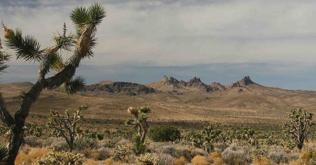
Photo: David Lamfrom via Wikimedia Commons, CC BY-SA 3.0. Cropped and resized for display.
Park facts
| Park type | National Monument |
|---|---|
| Location | California, United States |
| Area | 21,026 acres (8,509 ha) |
| Established | 2016 |
| Coordinates | 35.2500° N, 115.1100° W |
| Managed by | National Park Service |
Every fact above is taken from the sources listed below; anything no source states is left blank rather than guessed.
About Castle Mountains National Monument
Castle Mountains National Monument is a U.S. National Monument located in the eastern Mojave Desert and northeastern San Bernardino County, in the state of California. The park protects 20,920 acres, located between the interstates I−15 and I−40, and northwest of the Colorado River.
Description from the park's Wikipedia article (CC BY-SA), linked in the sources below.
Like Castle Mountains National Monument? Visit Castle Mountains National Monument’s official park page for hours and current conditions before you travel.
Airports near this park
The airports a visitor would actually fly into, nearest first — each link opens its profile on our sister site AirportProfiles.
- Harry Reid International Airport (LAS) · Las Vegas, United States · 57.6 miles away
- Palm Springs International Airport (PSP) · Palm Springs, United States · 126.3 miles away
- San Bernardino International Airport (SBD) · San Bernardino, United States · 144.7 miles away
Parks nearby
Big Bend of the Colorado State Recreation Area
Providence Mountains State Recreation Area
Mojave National Preserve
Lake Mead National Recreation Area
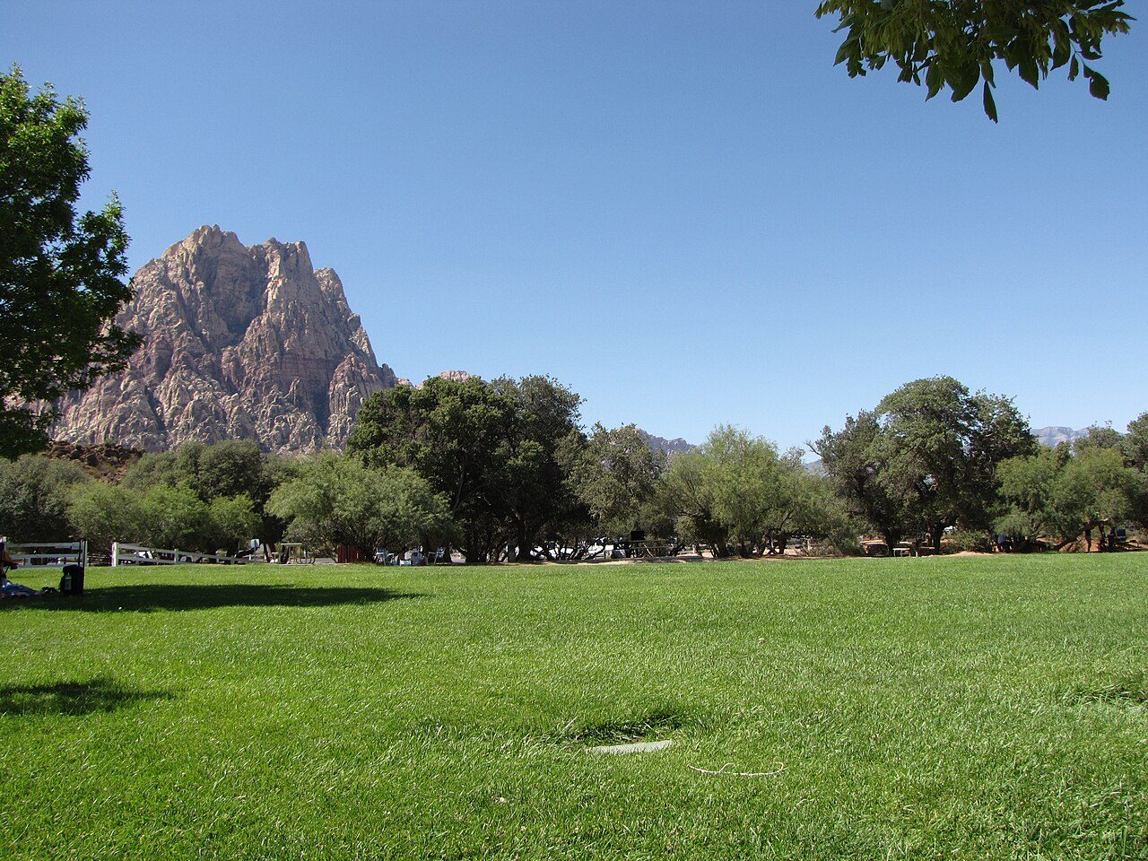
Spring Mountain Ranch State Park
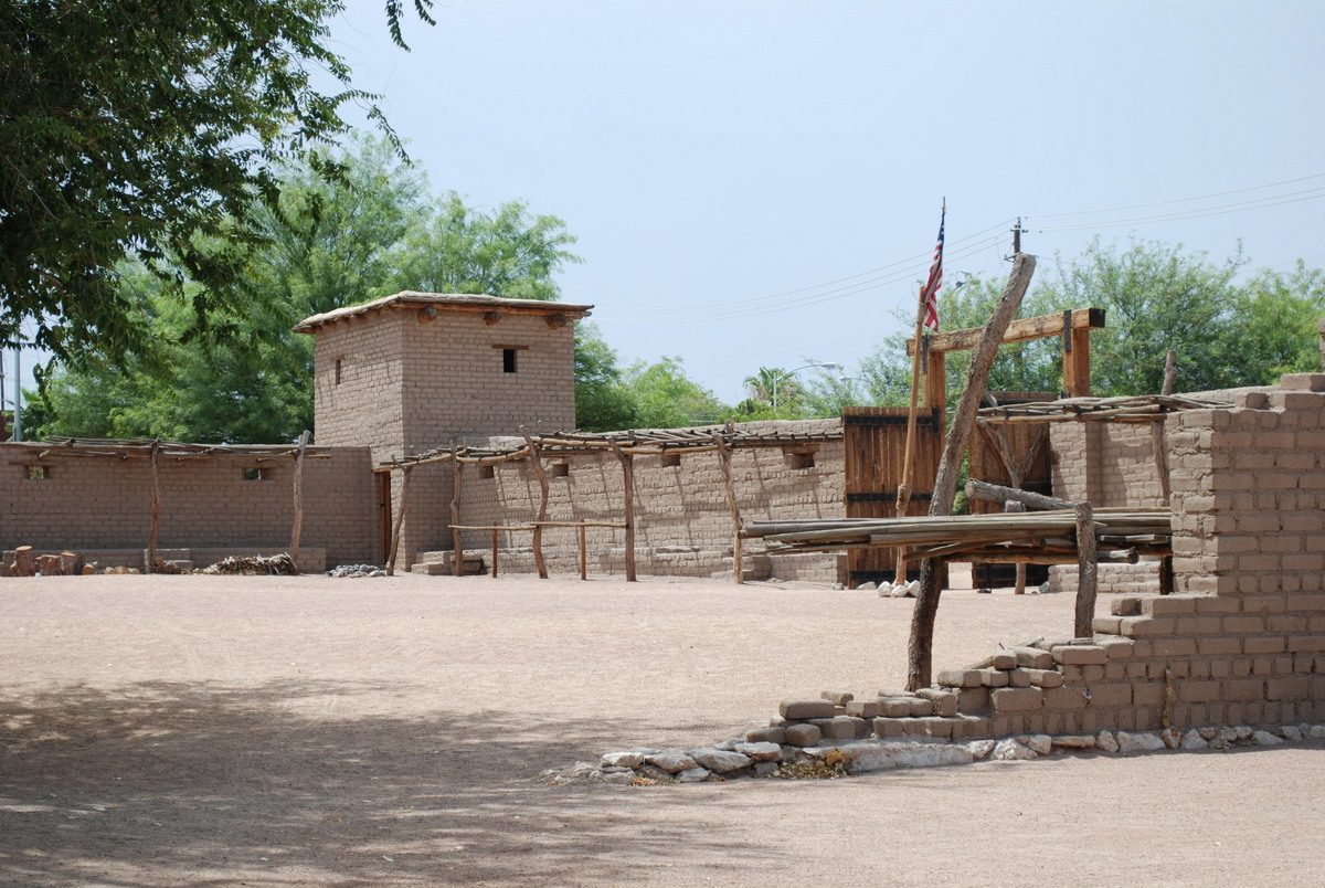
Old Las Vegas Mormon Fort State Historic Park
More parks in California

Frequently asked questions
Where is Castle Mountains National Monument?
Castle Mountains National Monument is in California, United States (35.2500° N, 115.1100° W).
When was Castle Mountains National Monument established?
Castle Mountains National Monument was established in 2016, per the source listed at the foot of this page.
How big is Castle Mountains National Monument?
Castle Mountains National Monument covers 21,026 acres (8,509 ha).
Sources
- https://en.wikipedia.org/wiki/List_of_the_United_States_National_Park_System_official_units — Wikipedia list of National Park System official units — unit name, state, official designation.
- https://en.wikipedia.org/wiki/List_of_areas_in_the_United_States_National_Park_System — Wikipedia list of National Park System areas — year established and gross area.
- https://en.wikipedia.org/wiki/Castle_Mountains_National_Monument — Wikipedia article — description (CC BY-SA).
- https://www.nps.gov/camo/ — Official park page.