
Provincial Park · Canada
Castle Provincial Park
Castle Provincial Park is a provincial park in Canada, covering 63,014 acres (25,501 ha), established in 2017.
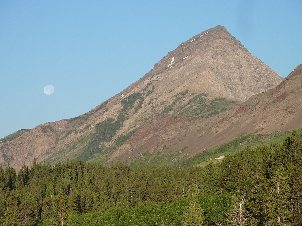
Photo: Lazarus000 via Wikimedia Commons, CC BY-SA 4.0. Cropped and resized for display.
Park facts
| Park type | Provincial Park |
|---|---|
| Location | Canada |
| Area | 63,014 acres (25,501 ha) |
| Established | 2017 |
| Coordinates | 49.4314° N, 114.3933° W |
Every fact above is taken from the sources listed below; anything no source states is left blank rather than guessed.
About Castle Provincial Park
Castle Provincial Park is a provincial park in southern Alberta, Canada. It is located within the Municipal District of Pincher Creek No. 9 south of the Municipality of Crowsnest Pass, northwest of Waterton Lakes National Park and west of the Town of Pincher Creek. It shares a boundary with Castle Wildland Provincial Park to the west and south. The designation of Castle Provincial Park was approved on January 20, 2017, with an effective date of February 16, 2017. The designation involved the protection of 25,501 ha (63,010 acres) of land.
Description from the park's Wikipedia article (CC BY-SA), linked in the sources below.
Planning your visit
What to do
Airports near this park
The airports a visitor would actually fly into, nearest first — each link opens its profile on our sister site AirportProfiles.
- Calgary International Airport (YYC) · Calgary, Canada · 117.8 miles away
Parks nearby
Beauvais Lake Provincial Park
Elk Valley Provincial Park
Morrissey Provincial Park
Akamina-Kishinena Provincial Park
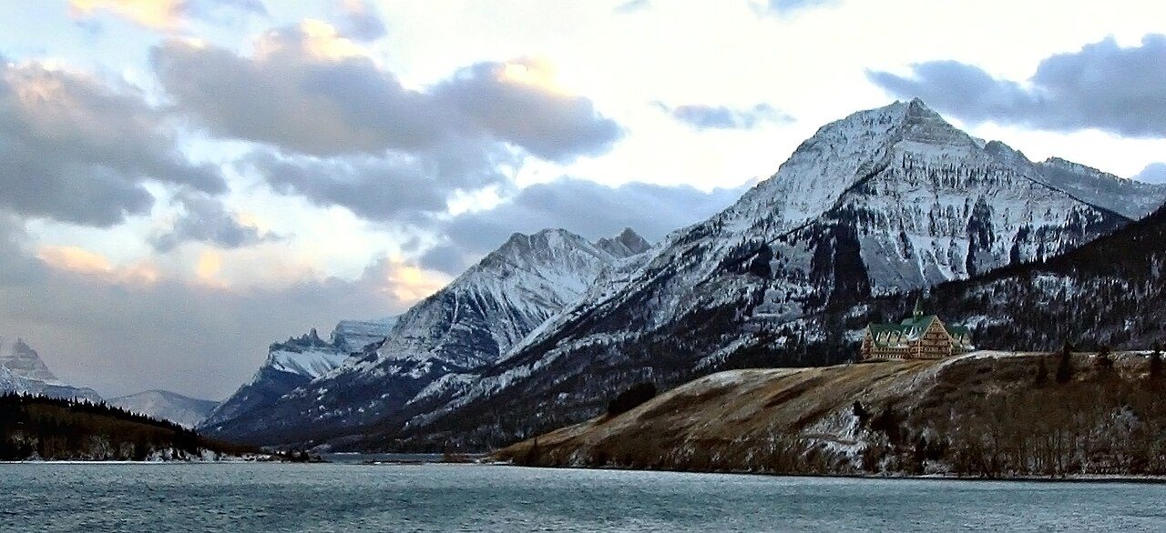
Waterton Lakes National Park
Wardner Provincial Park
More parks in Canada









Frequently asked questions
Where is Castle Provincial Park?
Castle Provincial Park is in Canada (49.4314° N, 114.3933° W).
When was Castle Provincial Park established?
Castle Provincial Park was established in 2017, per the source listed at the foot of this page.
How big is Castle Provincial Park?
Castle Provincial Park covers 63,014 acres (25,501 ha).
Sources
- https://www.wikidata.org/wiki/Q28479055 — Wikidata (CC0) — name, country, coordinates, area, established year, highest point where stated.
- https://en.wikipedia.org/wiki/Castle_Provincial_Park — Wikipedia article — description (CC BY-SA).