
State Park · Tennessee, United States
Collins Scenic River
Collins Scenic River is a state park in Tennessee, United States.
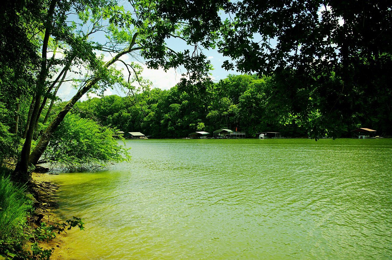
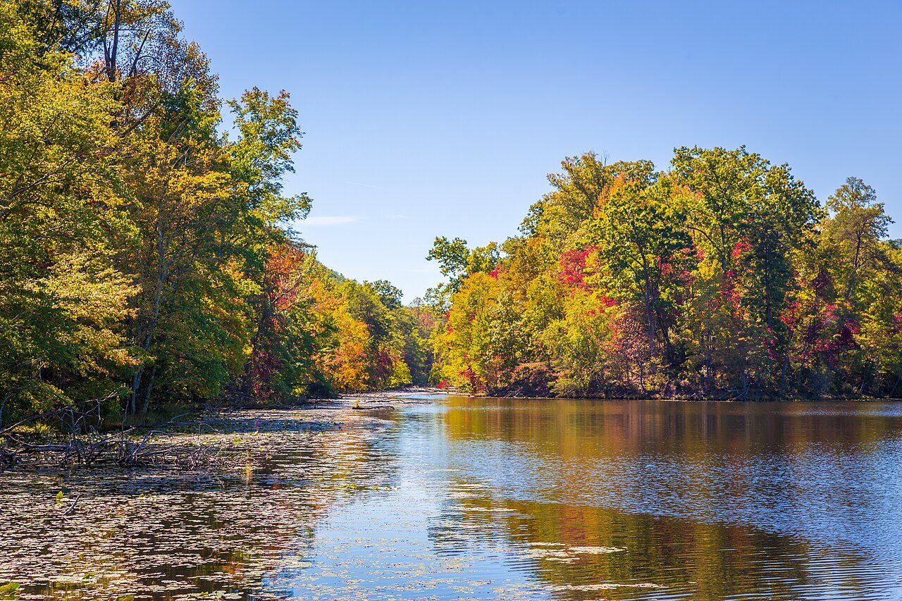
Photo: Brian Stansberry via Wikimedia Commons, CC BY 3.0. Cropped and resized for display.
Park facts
| Park type | State Park |
|---|---|
| Location | Grundy, Tennessee, United States |
| Length | 67 miles (107.8 km) |
| Coordinates | 35.8000° N, 85.6200° W |
| Managed by | Tennessee state park system |
Every fact above is taken from the sources listed below; anything no source states is left blank rather than guessed.
About Collins Scenic River
The Collins River is a 67-mile-long (108 km) stream in the east-central portion of Middle Tennessee in the United States. It is a tributary of the Caney Fork, and is part of the Cumberland, Ohio and Mississippi watersheds. The river drains the scenic Savage Gulf area, located just below the river's source, and empties into Great Falls Lake at Rock Island State Park. The Collins River passes through Grundy and Warren counties. McMinnville, Altamont, Gruetli-Laager and Beersheba Springs are among the communities located within its watershed.
Description from the park's Wikipedia article (CC BY-SA), linked in the sources below.
Airports near this park
The airports a visitor would actually fly into, nearest first — each link opens its profile on our sister site AirportProfiles.
- Nashville International Airport (BNA) · Nashville, United States · 63.3 miles away
- McGhee Tyson Airport (TYS) · Knoxville/Maryville, United States · 91.1 miles away
Parks nearby
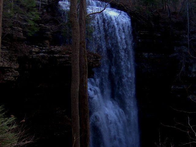
More parks in Tennessee
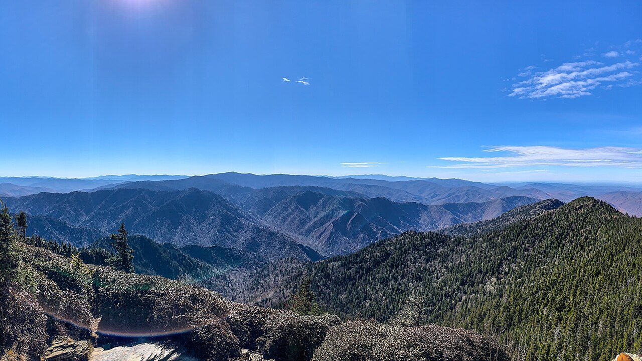
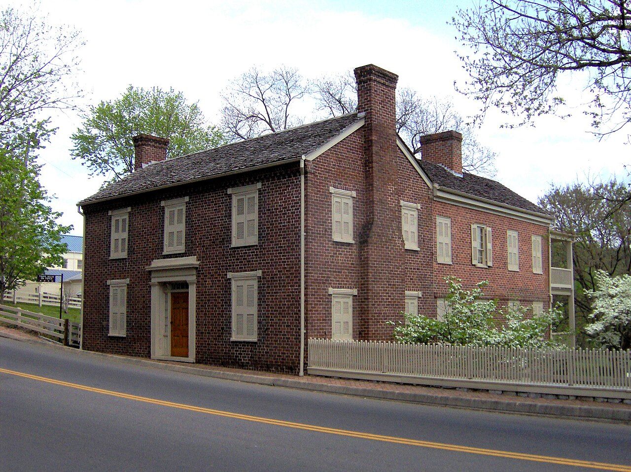

Frequently asked questions
Where is Collins Scenic River?
Collins Scenic River is in Tennessee, United States (35.8000° N, 85.6200° W).
Sources
- https://en.wikipedia.org/wiki/List_of_Tennessee_state_parks_and_natural_areas — Wikipedia list of Tennessee state parks — park name, county/location, size, year where the table states them.
- https://en.wikipedia.org/wiki/Collins_River — Wikipedia article — description (CC BY-SA).