
State Natural Area · Tennessee, United States
Lost Creek State Natural Area
Lost Creek State Natural Area is a state natural area in Tennessee, United States.
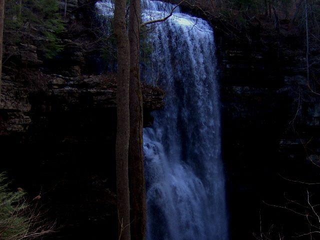
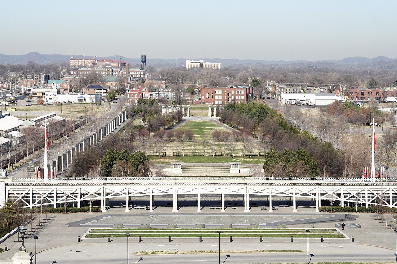
Photo: Brian Stansberry via Wikimedia Commons, CC BY 3.0. Cropped and resized for display.
Park facts
| Park type | State Natural Area |
|---|---|
| Location | White, Tennessee, United States |
| Coordinates | 35.8289° N, 85.2950° W |
| Managed by | Tennessee state park system |
Every fact above is taken from the sources listed below; anything no source states is left blank rather than guessed.
About Lost Creek State Natural Area
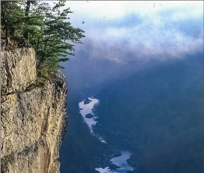
Scott's Gulf is a canyon situated along the Caney Fork River in White County, Tennessee, in the southeastern United States. The canyon stretches for approximately 18 miles (29 km) as the Caney Fork drops from the top of the Cumberland Plateau down to the eastern Highland Rim. This remote section of the river is home to a wilderness area consisting of a largely undisturbed deciduous forest, numerous waterfalls, caves and other geological formations, and Class IV and Class V whitewater rapids.
Description from the park's Wikipedia article (CC BY-SA), linked in the sources below.
Airports near this park
The airports a visitor would actually fly into, nearest first — each link opens its profile on our sister site AirportProfiles.
- McGhee Tyson Airport (TYS) · Knoxville/Maryville, United States · 72.9 miles away
- Nashville International Airport (BNA) · Nashville, United States · 80.0 miles away
Parks nearby
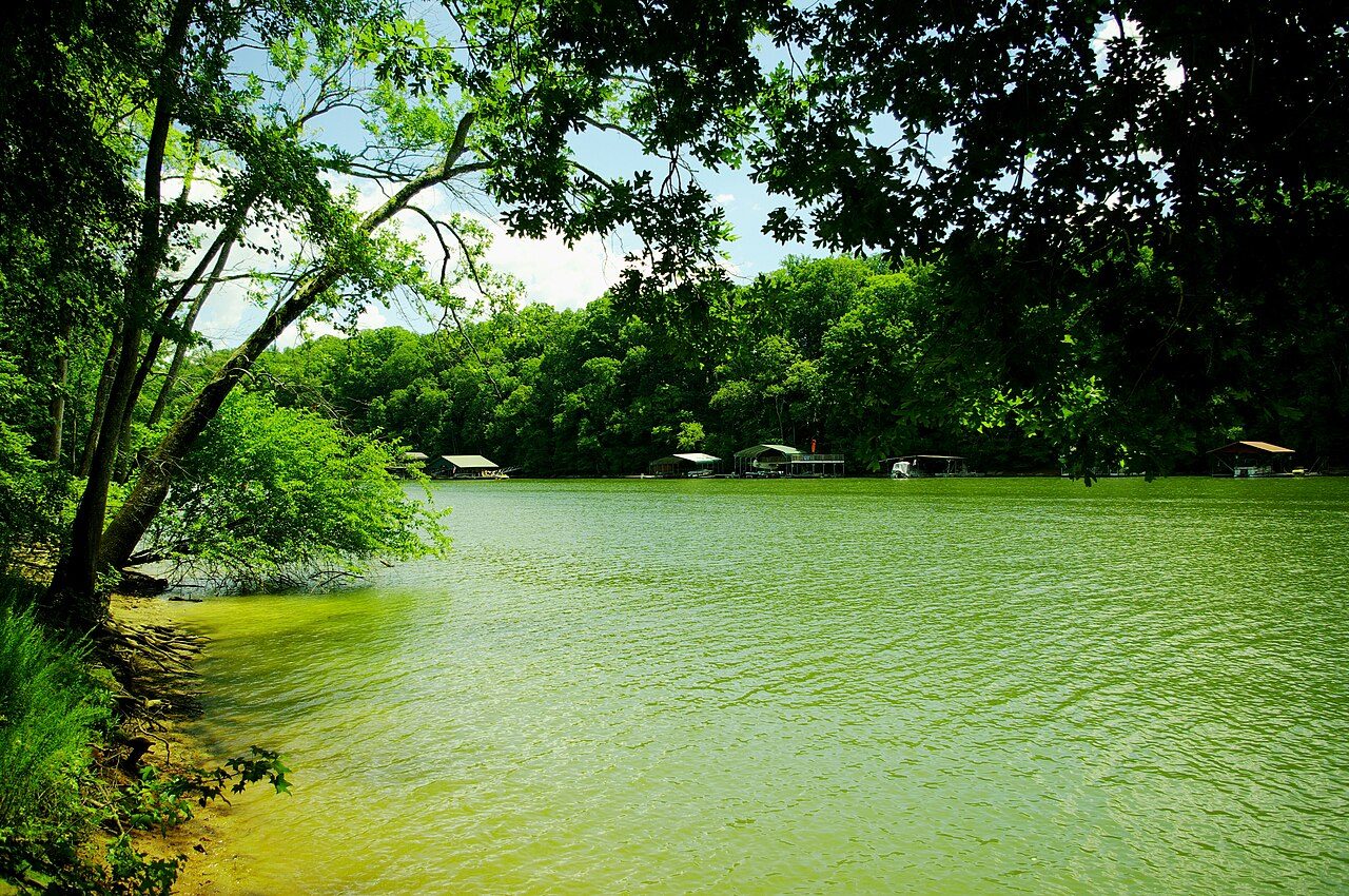
More parks in Tennessee
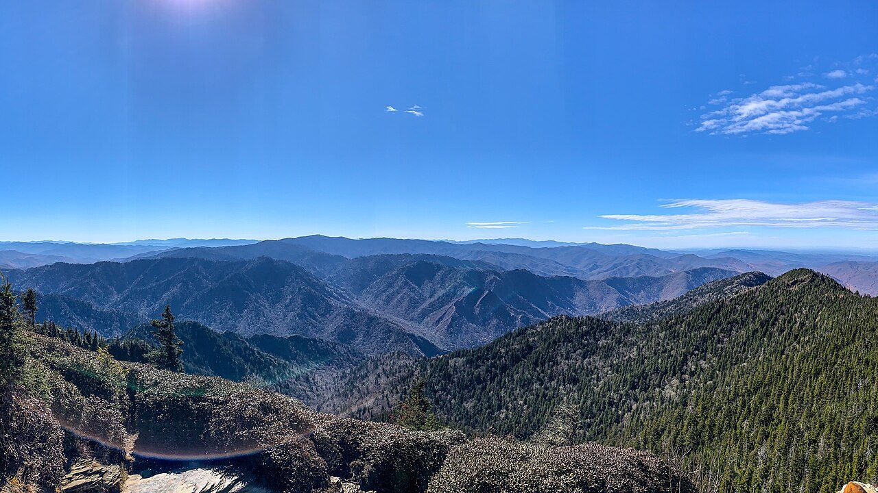
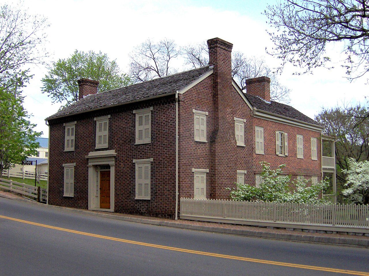
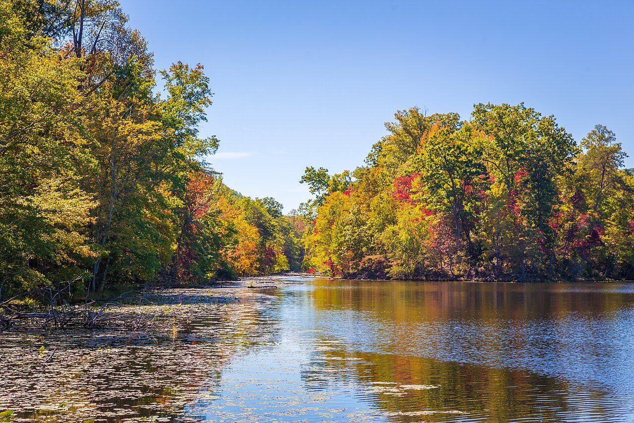

Frequently asked questions
Where is Lost Creek State Natural Area?
Lost Creek State Natural Area is in Tennessee, United States (35.8289° N, 85.2950° W).
Sources
- https://en.wikipedia.org/wiki/List_of_Tennessee_state_parks_and_natural_areas — Wikipedia list of Tennessee state parks — park name, county/location, size, year where the table states them.
- https://en.wikipedia.org/wiki/Scott's_Gulf — Wikipedia article — description (CC BY-SA).