
State Park · Missouri, United States
Cuivre River State Park
Cuivre River State Park is a state park in Missouri, United States, covering 6,394 acres (2,588 ha), established in 1946.
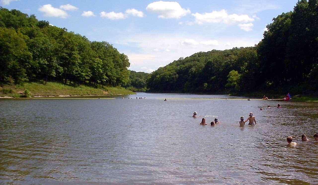
Photo: Kbh3rd via Wikimedia Commons, CC BY-SA 3.0. Cropped and resized for display.
Park facts
| Park type | State Park |
|---|---|
| Location | Lincoln, Missouri, United States |
| Area | 6,394 acres (2,588 ha) |
| Established | 1946 |
| Coordinates | 39.0350° N, 90.9328° W |
| Managed by | Missouri state park system |
Every fact above is taken from the sources listed below; anything no source states is left blank rather than guessed.
About Cuivre River State Park
Cuivre River State Park is a public recreation area covering more than 6,400 acres (2,600 ha) northeast of the city of Troy in the Lincoln Hills region of northeastern Missouri, United States. The state park's rugged landscapes range from native grasslands and savannas to limestone bluffs overlooking forested hills. The park offers an extensive system of hiking trails plus swimming and camping facilities and is managed by the Missouri Department of Natural Resources. It encompasses the Lincoln Hills Natural Area (1872 acres) and two designated wild areas: Big Sugar Creek (1675 acres) and Northwoods (1082 acres).
Description from the park's Wikipedia article (CC BY-SA), linked in the sources below.
Planning your visit
What to do
Airports near this park
The airports a visitor would actually fly into, nearest first — each link opens its profile on our sister site AirportProfiles.
- St. Louis Lambert International Airport (STL) · St Louis, United States · 36.2 miles away
Parks nearby
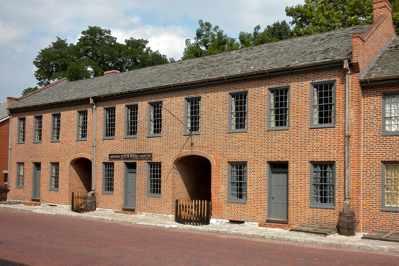
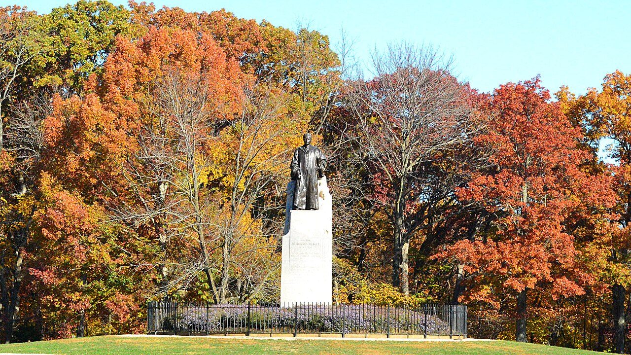
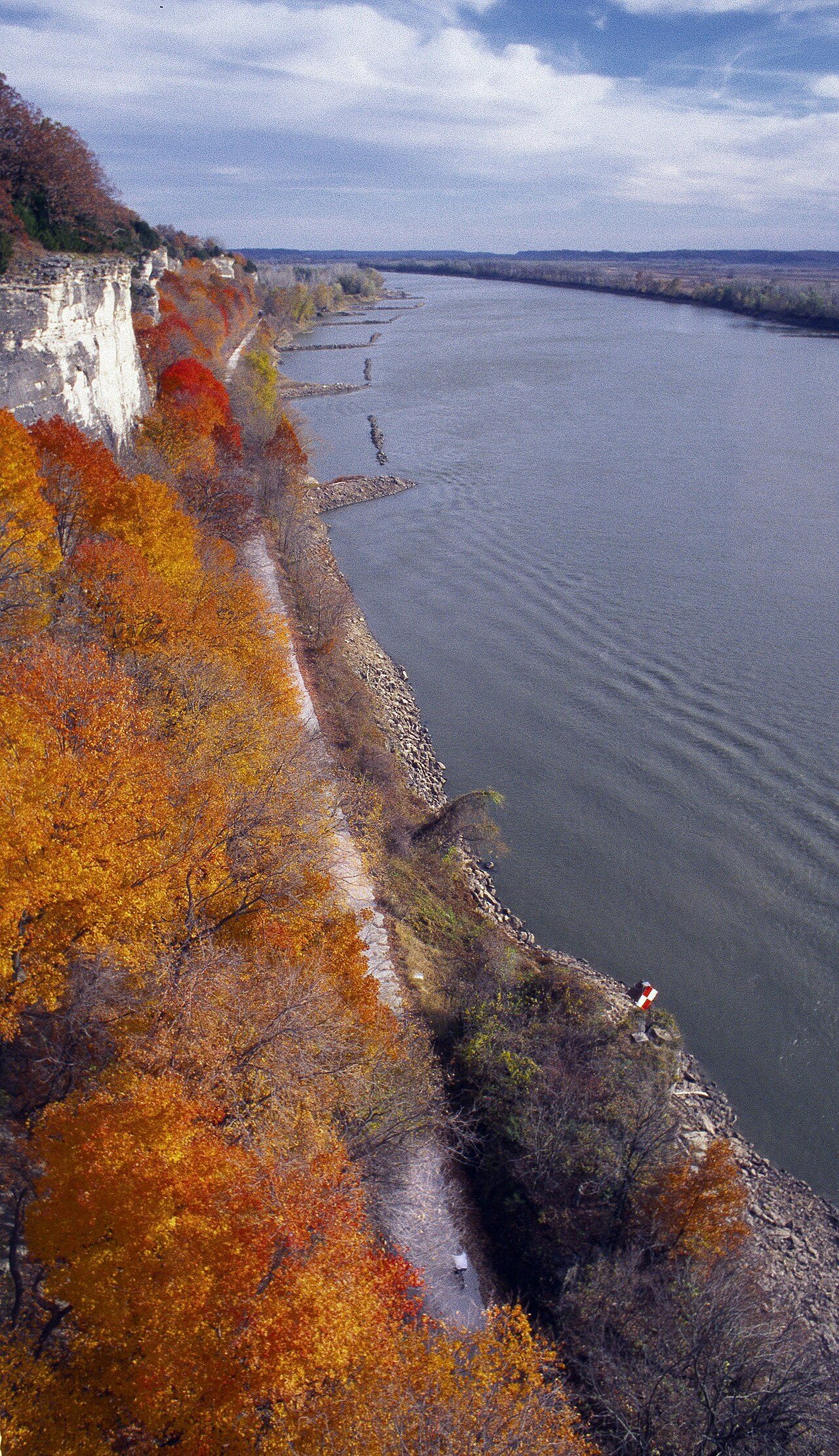
More parks in Missouri


Frequently asked questions
Where is Cuivre River State Park?
Cuivre River State Park is in Missouri, United States (39.0350° N, 90.9328° W).
When was Cuivre River State Park established?
Cuivre River State Park was established in 1946, per the source listed at the foot of this page.
How big is Cuivre River State Park?
Cuivre River State Park covers 6,394 acres (2,588 ha).
Sources
- https://en.wikipedia.org/wiki/List_of_Missouri_state_parks — Wikipedia list of Missouri state parks — park name, county/location, size, year where the table states them.
- https://en.wikipedia.org/wiki/Cuivre_River_State_Park — Wikipedia article — description (CC BY-SA).