
National Park · Mexico
Cumbres del Ajusco National Park
Cumbres del Ajusco National Park is a national park in Mexico, covering 2,273 acres (920 ha), established in 1936.
National Park · Mexico
No freely licensed photograph of this park is in our library yet — rather than borrow a picture of somewhere else, this profile leads with its verified facts.
Park facts
| Park type | National Park |
|---|---|
| Location | Mexico |
| Area | 2,273 acres (920 ha) |
| Established | 1936 |
| Coordinates | 19.2151° N, 99.2564° W |
Every fact above is taken from the sources listed below; anything no source states is left blank rather than guessed.
About Cumbres del Ajusco National Park
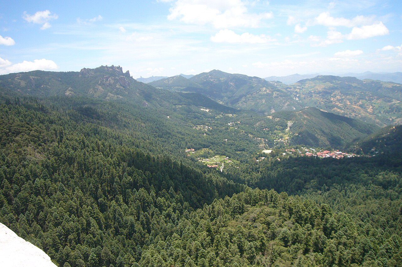
Cumbres del Ajusco National Park is one of many national parks near Mexico City. The Ajusco is known for its high elevations reaching 3,900 metres (12,800 ft) above sea level and is visible from any part of Mexico city. The park is characterized by pine-oak forests and high mountain grassland. Cumbres del Ajusco means "watered grove peaks", an appropriate name for this mountainous region covered with lush green forest with many flowers due to a fair amount of precipitation. The Balsas and Lerma rivers begin in the heart of the Cumbres del Ajusco.
Description from the park's Wikipedia article (CC BY-SA), linked in the sources below.
Airports near this park
The airports a visitor would actually fly into, nearest first — each link opens its profile on our sister site AirportProfiles.
- Mexico City Benito Juárez International Airport (MEX) · Mexico City, Mexico · 19.5 miles away
- Adolfo López Mateos International Airport (TLC) · Toluca, Mexico · 21.9 miles away
- Felipe Ángeles International Airport (NLU) · Mexico City, Mexico · 39.8 miles away
Parks nearby
Fuentes Brotantes de Tlalpan National Park
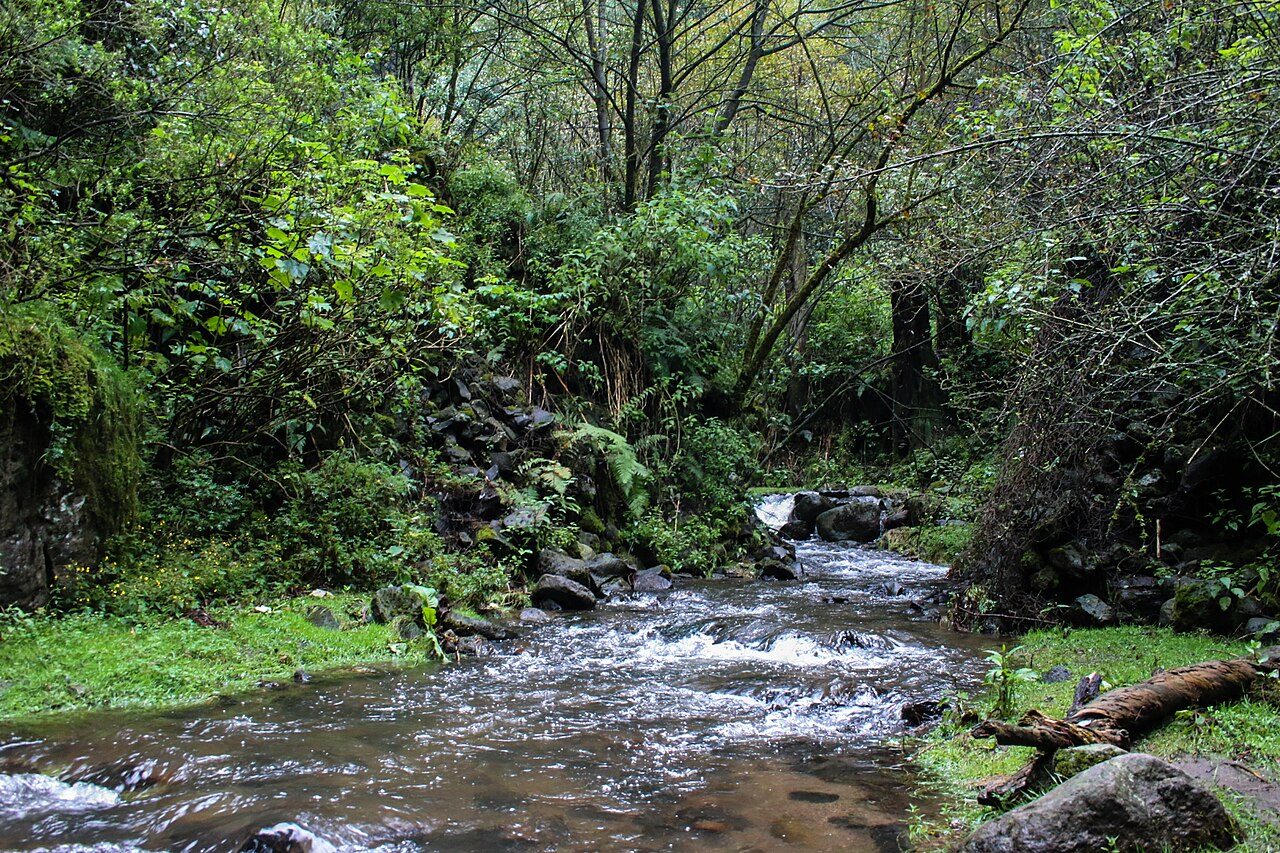
Desierto de los Leones National Park
La Marquesa National Park
Lagunas de Zempoala National Park
Cerro de la Estrella National Park
Los Remedios National Park
More parks in Mexico
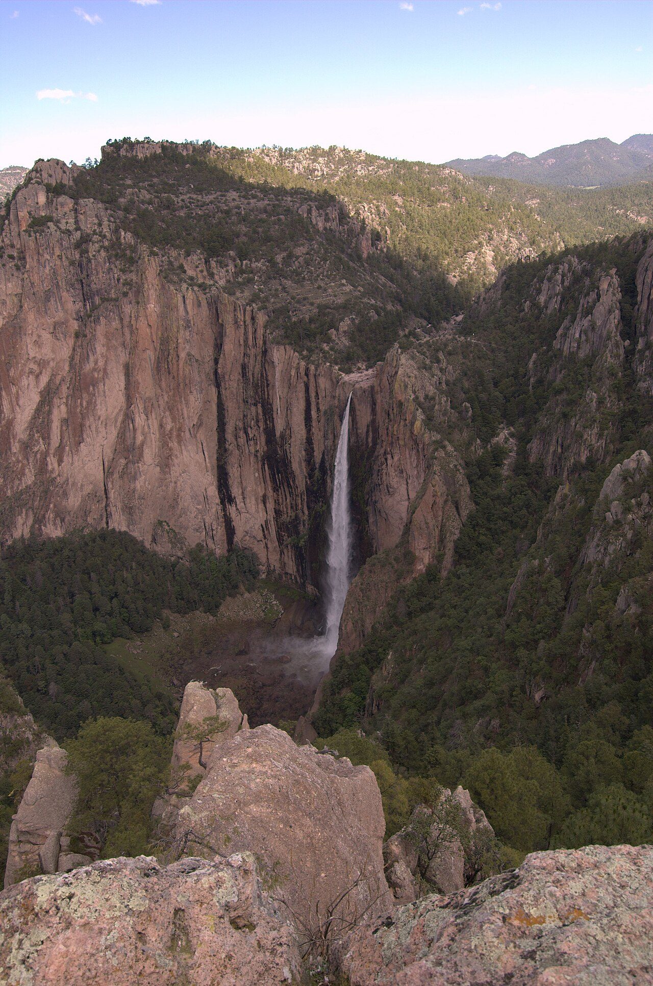
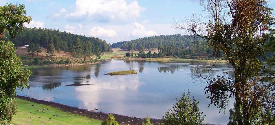
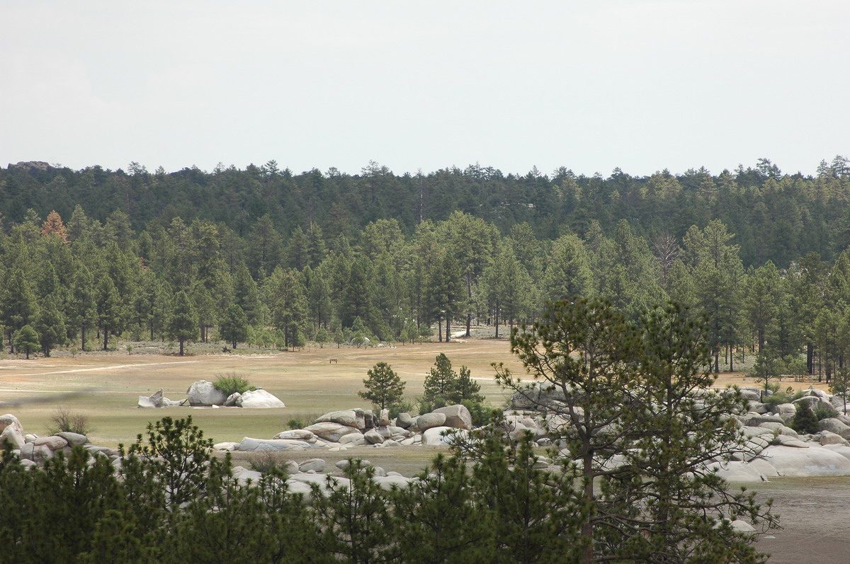
Frequently asked questions
Where is Cumbres del Ajusco National Park?
Cumbres del Ajusco National Park is in Mexico (19.2151° N, 99.2564° W).
When was Cumbres del Ajusco National Park established?
Cumbres del Ajusco National Park was established in 1936, per the source listed at the foot of this page.
How big is Cumbres del Ajusco National Park?
Cumbres del Ajusco National Park covers 2,273 acres (920 ha).
Sources
- https://www.wikidata.org/wiki/Q1765154 — Wikidata (CC0) — name, country, coordinates, area, established year, highest point where stated.
- https://en.wikipedia.org/wiki/Cumbres_del_Ajusco_National_Park — Wikipedia article — description (CC BY-SA).