
National Park · Mexico
Los Remedios National Park
Los Remedios National Park is a national park in Mexico, covering 989 acres (400 ha), established in 1938.
National Park · Mexico
No freely licensed photograph of this park is in our library yet — rather than borrow a picture of somewhere else, this profile leads with its verified facts.
Park facts
| Park type | National Park |
|---|---|
| Location | Mexico |
| Area | 989 acres (400 ha) |
| Established | 1938 |
| Coordinates | 19.4713° N, 99.2554° W |
Every fact above is taken from the sources listed below; anything no source states is left blank rather than guessed.
About Los Remedios National Park
Los Remedios National Park is a national park in Mexico, located in the far west of the municipality of Naucalpan in Mexico State, just northwest of Mexico City. The park was established by federal decree in 1938 with an area of 400 hectares (990 acres). Within its borders is the Sanctuary of the Virgin of Los Remedios, a colonial-era aqueduct and a pre-Hispanic archaeological zone with a Chichimeca temple. All of these are located in and around the mountain called Cerro Moctezuma. The site was an Aztec observatory and is also believed to be where Hernán Cortés and his men rested after fleeing Tenochtitlan.
Description from the park's Wikipedia article (CC BY-SA), linked in the sources below.
Airports near this park
The airports a visitor would actually fly into, nearest first — each link opens its profile on our sister site AirportProfiles.
- Mexico City Benito Juárez International Airport (MEX) · Mexico City, Mexico · 12.3 miles away
- Adolfo López Mateos International Airport (TLC) · Toluca, Mexico · 22.3 miles away
- Felipe Ángeles International Airport (NLU) · Mexico City, Mexico · 24.5 miles away
Parks nearby
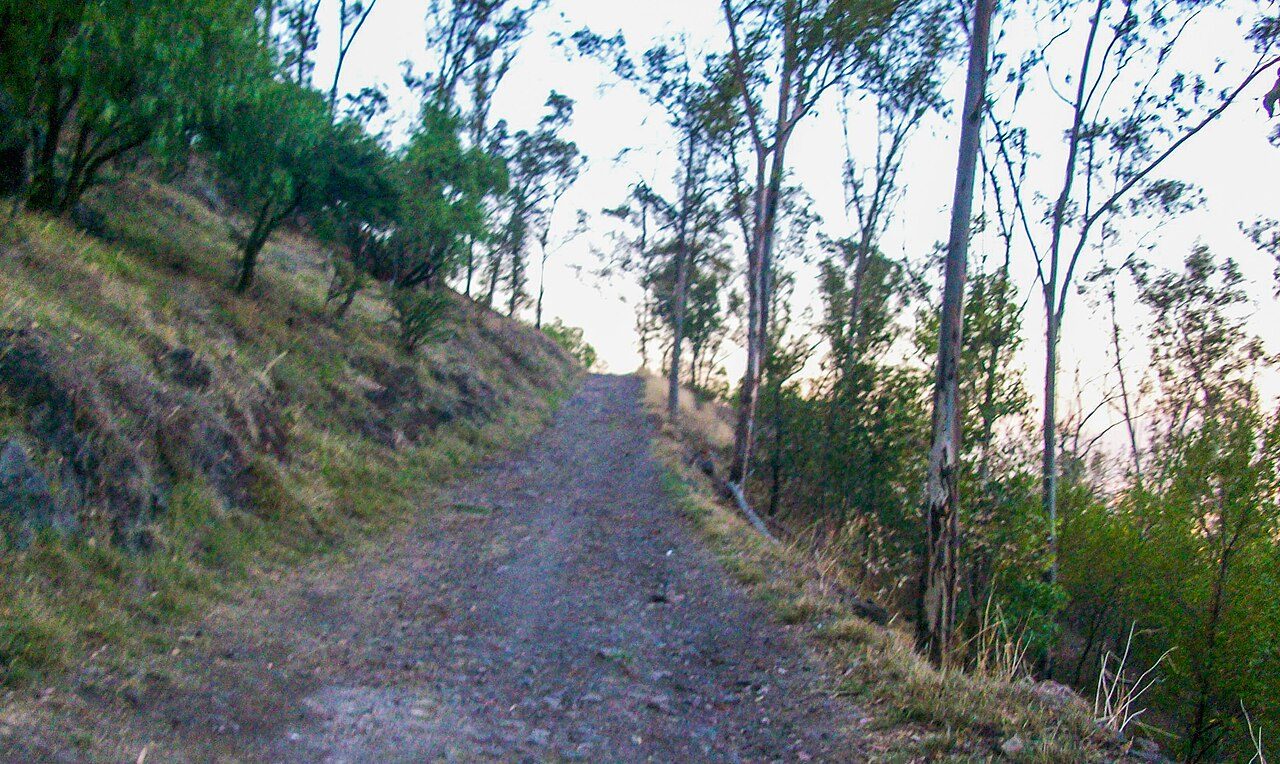
El Tepeyac National Park
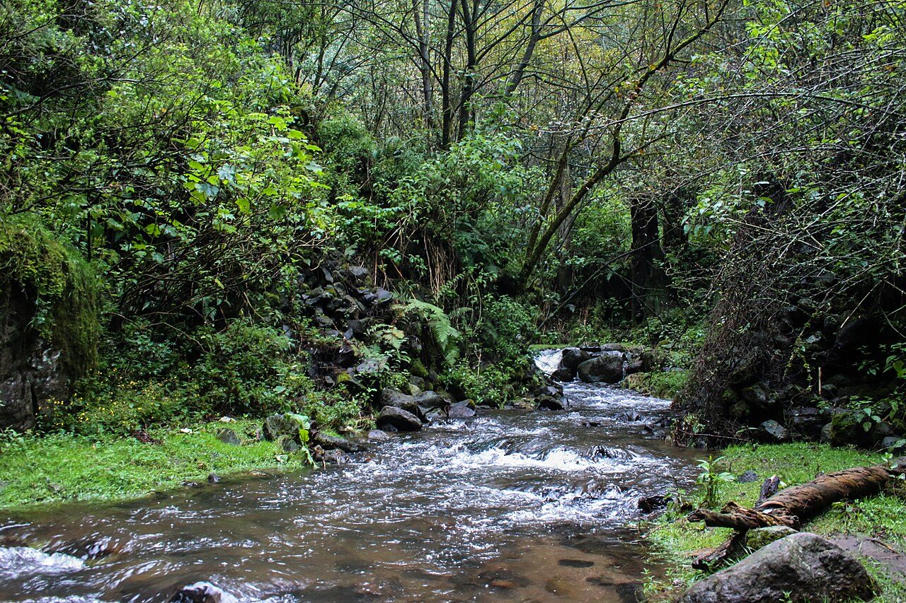
Desierto de los Leones National Park
Fuentes Brotantes de Tlalpan National Park
Cerro de la Estrella National Park
La Marquesa National Park
Cumbres del Ajusco National Park
More parks in Mexico
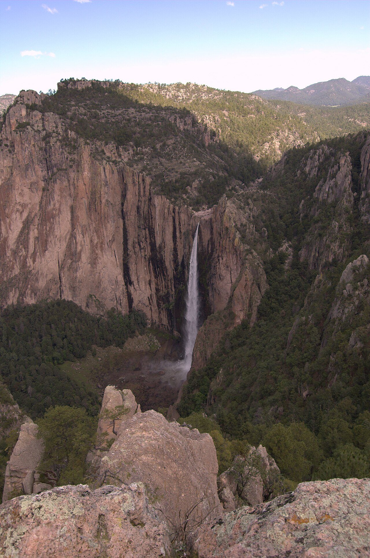
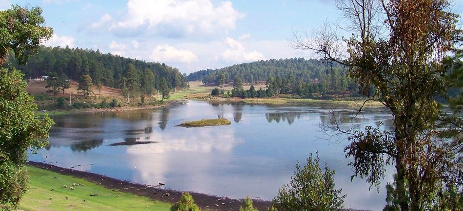
Frequently asked questions
Where is Los Remedios National Park?
Los Remedios National Park is in Mexico (19.4713° N, 99.2554° W).
When was Los Remedios National Park established?
Los Remedios National Park was established in 1938, per the source listed at the foot of this page.
How big is Los Remedios National Park?
Los Remedios National Park covers 989 acres (400 ha).
Sources
- https://www.wikidata.org/wiki/Q6063011 — Wikidata (CC0) — name, country, coordinates, area, established year, highest point where stated.
- https://en.wikipedia.org/wiki/Los_Remedios_National_Park — Wikipedia article — description (CC BY-SA).