
National Park · Haiti
Deux Mamelles National Park
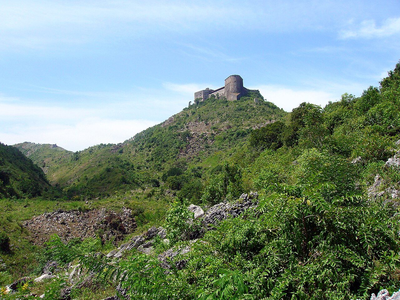
Deux Mamelles National Park is a national park in Haiti, covering 5,597 acres (2,265 ha).
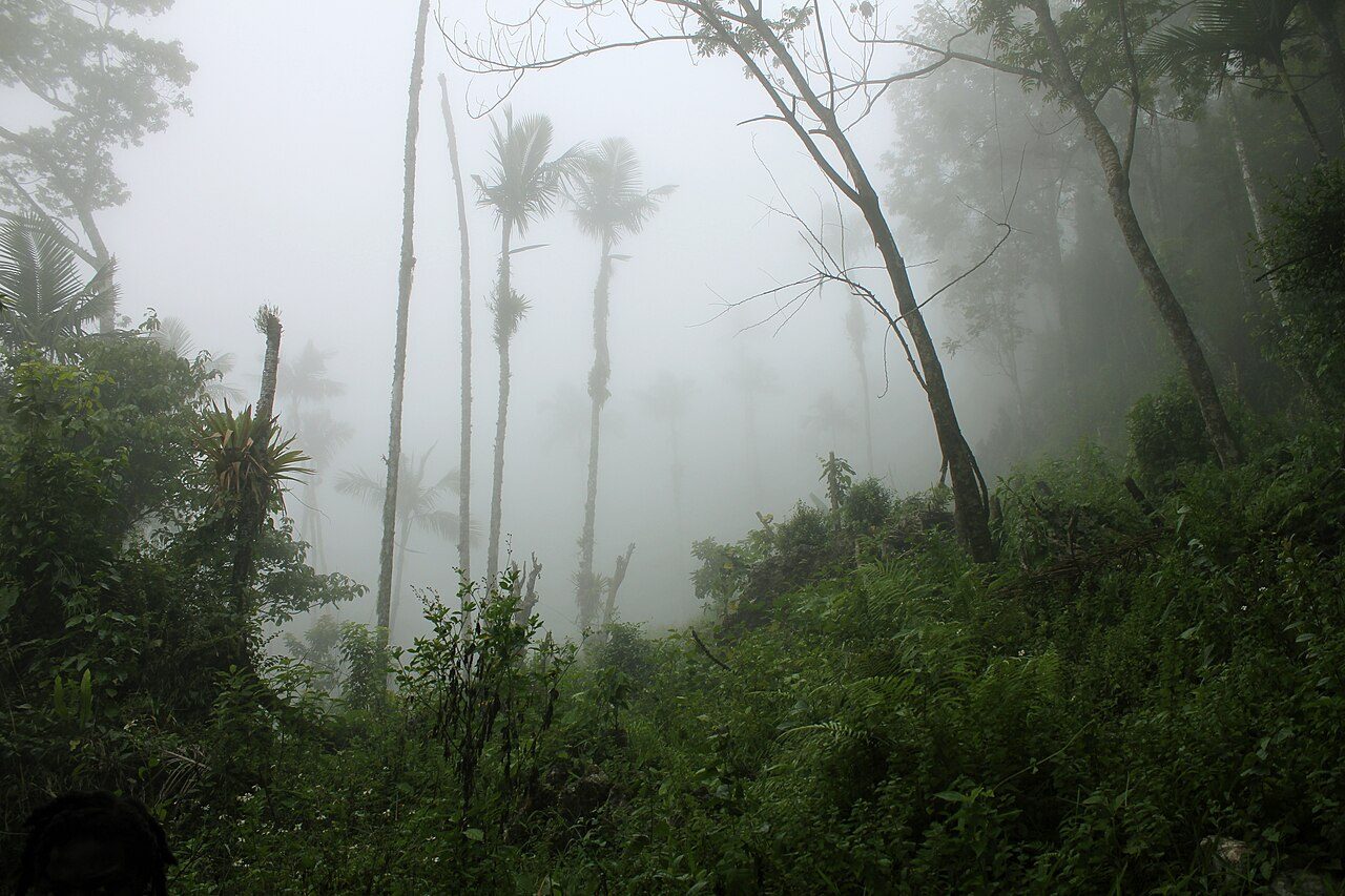
Photo: Angela268 via Wikimedia Commons, CC BY-SA 4.0. Cropped and resized for display.
Park facts
| Park type | National Park |
|---|---|
| Location | Haiti |
| Area | 5,597 acres (2,265 ha) |
| Coordinates | 18.4458° N, 74.2444° W |
Every fact above is taken from the sources listed below; anything no source states is left blank rather than guessed.
About Deux Mamelles National Park
Deux Mamelles National Park (French: Parc National Naturel de Deux Mamelles) is a national park in Haiti established on September 23, 2015 with an area of 2,265 hectares (5,600 acres). It is located on the Tiburon Peninsula of Haiti, just west of a line connecting Les Anglais to the south and Jérémie to the north. The park circumscribes a U-shaped mountain, Morne Deux Mamelles, reaching 1,276 meters (4,186 ft) in elevation and is the highest mountain at the western end of the Tiburon Peninsula. Patches of the original (primary) forest remain at elevations above 1,000 meters (3,300 ft), growing on highly dissected limestone rock.
Description from the park's Wikipedia article (CC BY-SA), linked in the sources below.
Airports near this park
The airports a visitor would actually fly into, nearest first — each link opens its profile on our sister site AirportProfiles.
- Toussaint Louverture International Airport (PAP) · Port-au-Prince, Haiti · 128.2 miles away
- Antonio Maceo International Airport (SCU) · Santiago, Cuba · 148.1 miles away
Parks nearby

More parks in Haiti
Frequently asked questions
Where is Deux Mamelles National Park?
Deux Mamelles National Park is in Haiti (18.4458° N, 74.2444° W).
How big is Deux Mamelles National Park?
Deux Mamelles National Park covers 5,597 acres (2,265 ha).
Sources
- https://www.wikidata.org/wiki/Q24204928 — Wikidata (CC0) — name, country, coordinates, area, established year, highest point where stated.
- https://en.wikipedia.org/wiki/Deux_Mamelles_National_Park — Wikipedia article — description (CC BY-SA).