
National Park · Haiti
Pic Macaya National Park
Pic Macaya National Park is a national park in Haiti, covering 4,942 acres (2,000 ha), established in 1984.
National Park · Haiti
No freely licensed photograph of this park is in our library yet — rather than borrow a picture of somewhere else, this profile leads with its verified facts.
Park facts
| Park type | National Park |
|---|---|
| Location | Haiti |
| Area | 4,942 acres (2,000 ha) |
| Established | 1984 |
| Coordinates | 18.3714° N, 74.0203° W |
Every fact above is taken from the sources listed below; anything no source states is left blank rather than guessed.
About Pic Macaya National Park
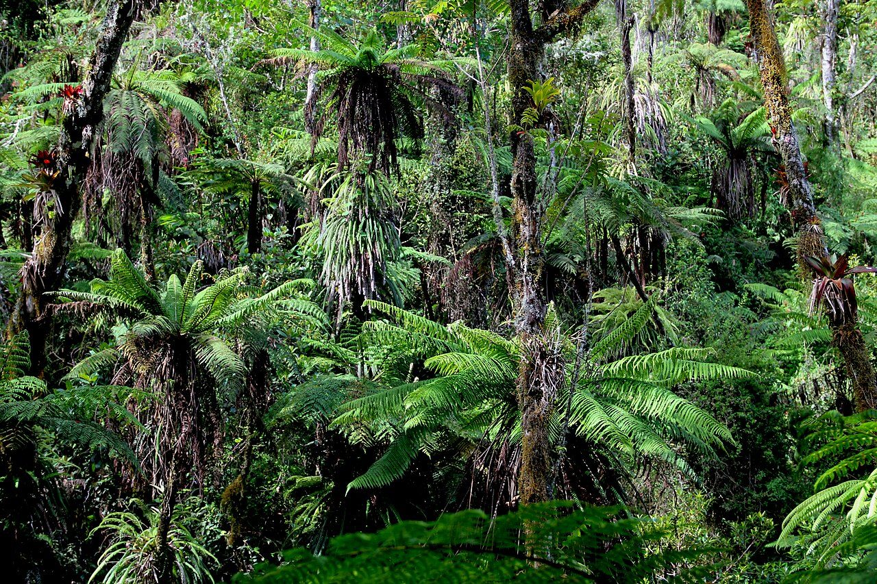
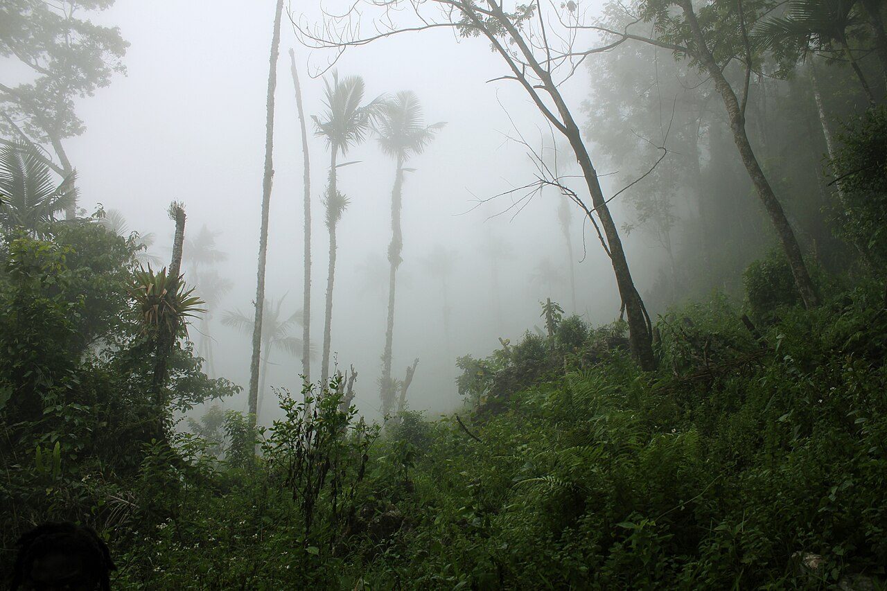
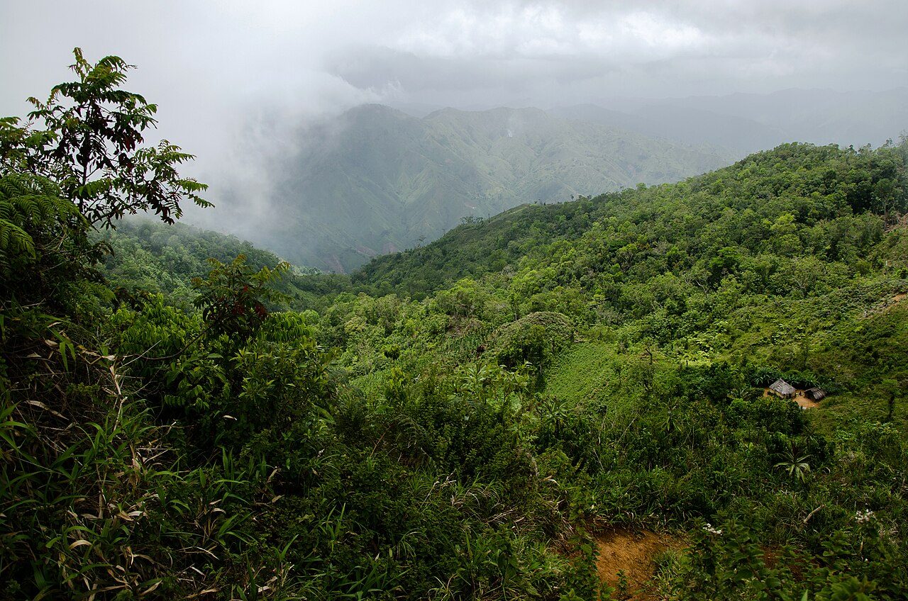
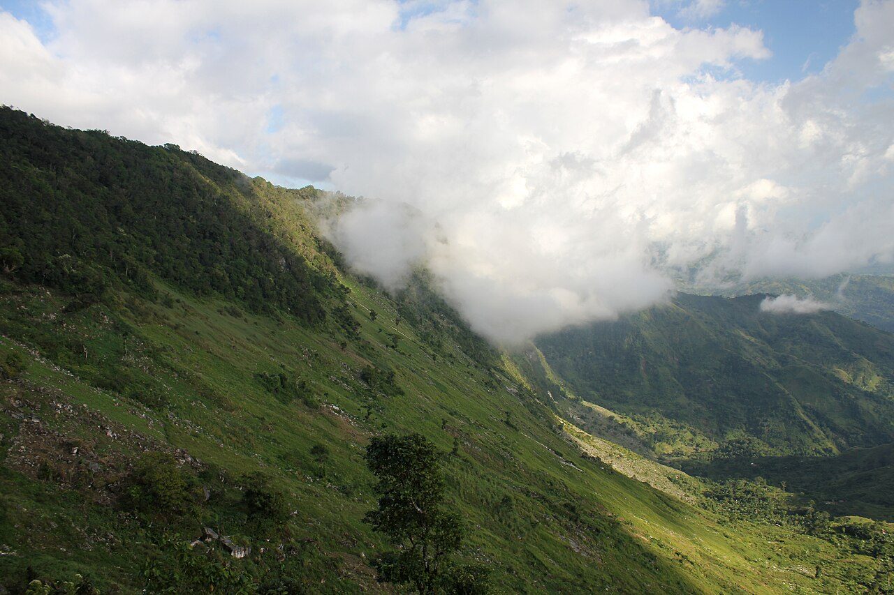
Pic Macaya National Park (French: Parc National Pic Macaya) is one of two largest national parks of the Republic of Haiti. It is located in the country's southern peninsula, within the Massif de la Hotte. Featuring the country's last stand of virgin cloud forest, it encompasses more than 8,000 hectares. Elevations in the rugged park reach a maximum height of 2,347 meters (7,700 feet) above sea level at Pic Macaya (Macaya Peak), the second highest point in Haiti behind Pic la Selle. A majority of the park is composed of two tall peaks: Pic Macaya and Pic Formon.
Description from the park's Wikipedia article (CC BY-SA), linked in the sources below.
Planning your visit
What to do
Airports near this park
The airports a visitor would actually fly into, nearest first — each link opens its profile on our sister site AirportProfiles.
- Toussaint Louverture International Airport (PAP) · Port-au-Prince, Haiti · 114.1 miles away
Parks nearby
More parks in Haiti
Frequently asked questions
Where is Pic Macaya National Park?
Pic Macaya National Park is in Haiti (18.3714° N, 74.0203° W).
When was Pic Macaya National Park established?
Pic Macaya National Park was established in 1984, per the source listed at the foot of this page.
How big is Pic Macaya National Park?
Pic Macaya National Park covers 4,942 acres (2,000 ha).
Sources
- https://www.wikidata.org/wiki/Q2540203 — Wikidata (CC0) — name, country, coordinates, area, established year, highest point where stated.
- https://en.wikipedia.org/wiki/Pic_Macaya_National_Park — Wikipedia article — description (CC BY-SA).