
State Park · California, United States
Dos Rios State Park
Dos Rios State Park is a state park in California, United States.
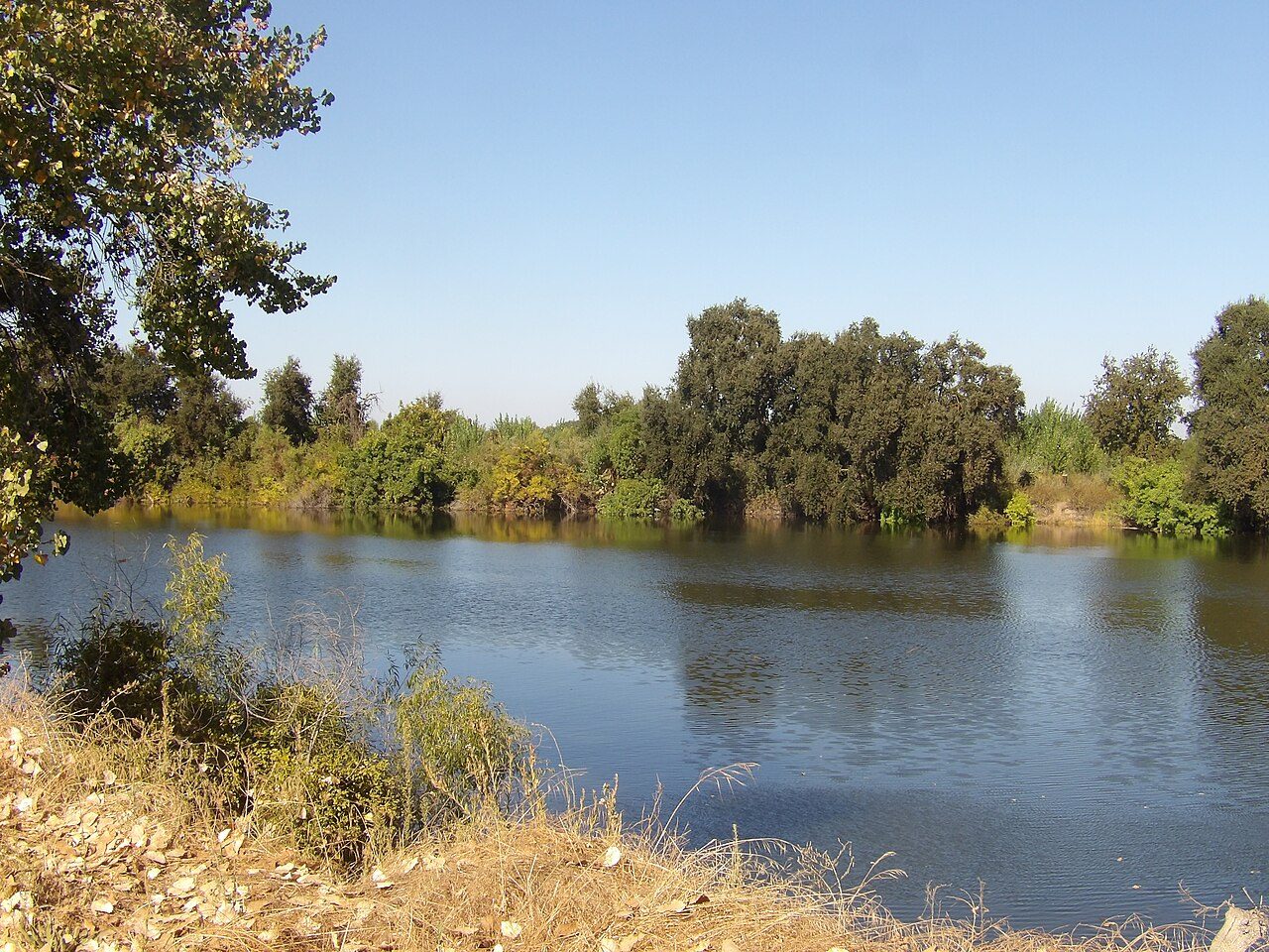
Photo: EponineBunnyKickQueen via Wikimedia Commons, CC0. Cropped and resized for display.
Park facts
| Park type | State Park |
|---|---|
| Location | Stanislaus, California, United States |
| Coordinates | 37.5950° N, 121.1436° W |
| Managed by | California state park system |
Every fact above is taken from the sources listed below; anything no source states is left blank rather than guessed.
About Dos Rios State Park
Dos Rios State Park in Stanislaus County, California, United States, is about 8 miles (13 km) southwest of Modesto. The California state park opened to the public June 12, 2024. Situated where the San Joaquin and Tuolumne rivers converge, retired farm fields have been planted with native plants like cottonwood, valley oak, milkweed and elderberry bushes which flourished with the initial care they were given. These renewed floodplains create space for water to spread out again as the berms have been modified to allow floodwater to flow freely across the area.
Description from the park's Wikipedia article (CC BY-SA), linked in the sources below.
Planning your visit
Getting there
| Nearest town | Modesto, California |
|---|---|
| Getting there | about 8 miles southwest of Modesto |
Airports near this park
The airports a visitor would actually fly into, nearest first — each link opens its profile on our sister site AirportProfiles.
- Mineta San Jose International Airport (SJC) · San Jose, United States · 46.0 miles away
- Oakland San Francisco Bay Airport (OAK) · Oakland, United States · 59.6 miles away
- San Francisco International Airport (SFO) · San Francisco, United States · 67.4 miles away
Parks nearby
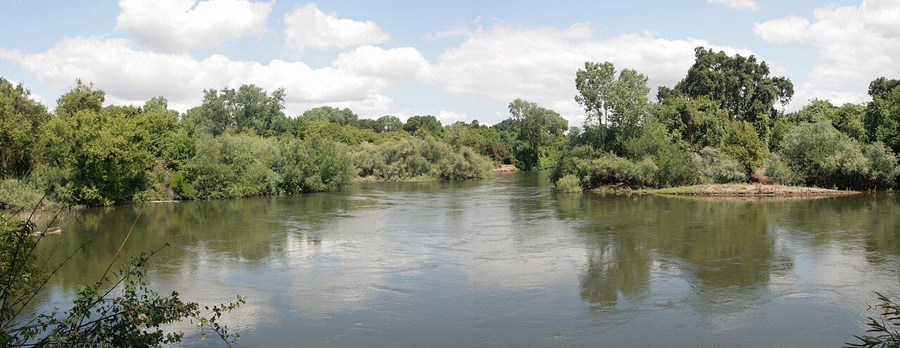
Caswell Memorial State Park
Carnegie State Vehicular Recreation Area
George J. Hatfield State Recreation Area
Great Valley Grasslands State Park
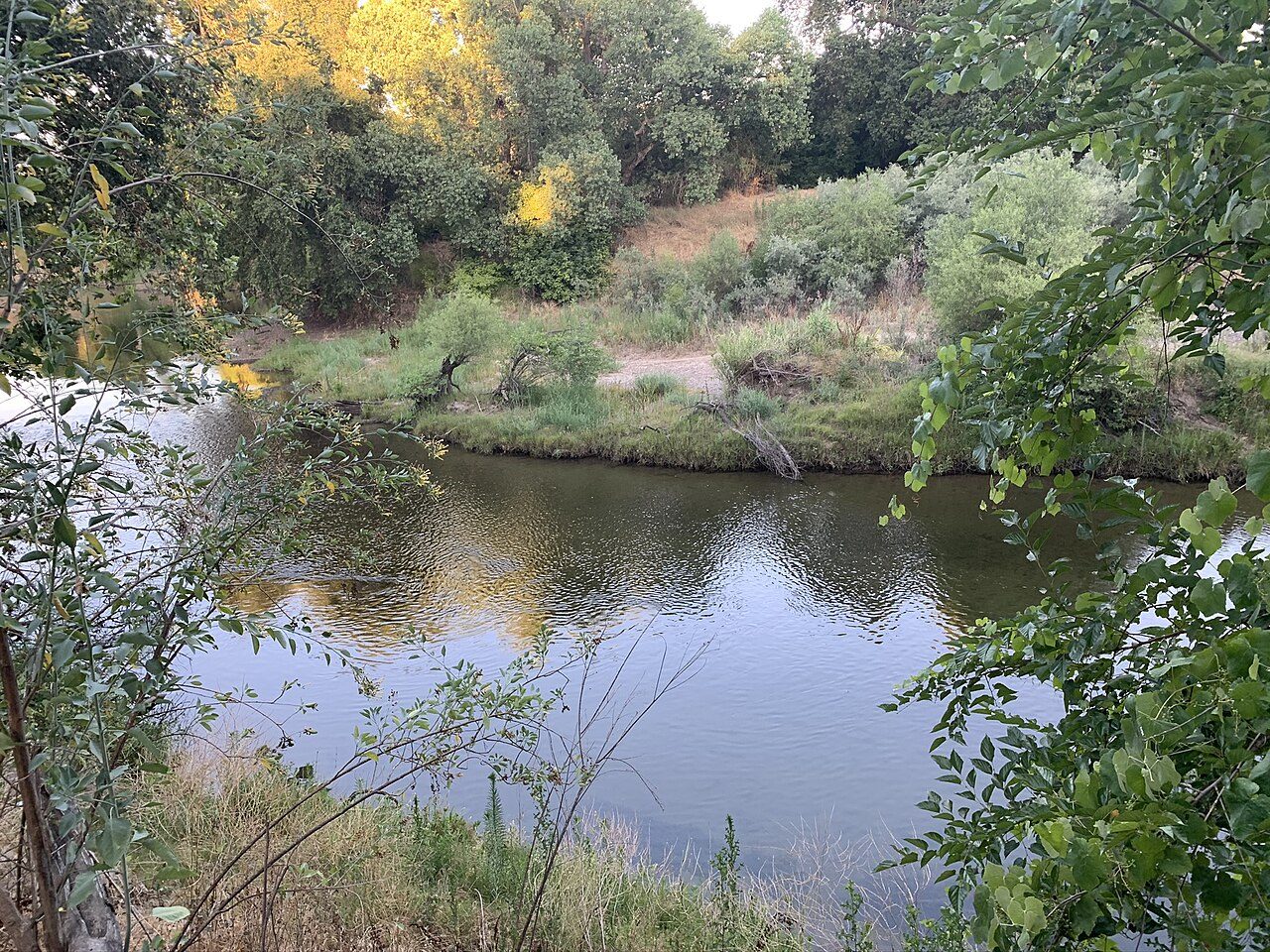
McConnell State Recreation Area
Bethany Reservoir State Recreation Area
More parks in California

Frequently asked questions
Where is Dos Rios State Park?
Dos Rios State Park is in California, United States (37.5950° N, 121.1436° W).
How do I get to Dos Rios State Park?
The nearest town is Modesto, California. about 8 miles southwest of Modesto.
Sources
- https://en.wikipedia.org/wiki/List_of_California_state_parks — Wikipedia list of California state parks — park name, county/location, size, year where the table states them.
- https://en.wikipedia.org/wiki/Dos_Rios_State_Park — Wikipedia article — description (CC BY-SA).