
State Park · Minnesota, United States
Douglas State Trail
Douglas State Trail is a state park in Minnesota, United States.
State Park · Minnesota, United States
No freely licensed photograph of this park is in our library yet — rather than borrow a picture of somewhere else, this profile leads with its verified facts.
Park facts
| Park type | State Park |
|---|---|
| Location | Minnesota, United States |
| Coordinates | 44.1275° N, 92.5886° W |
| Managed by | Minnesota state park system |
Every fact above is taken from the sources listed below; anything no source states is left blank rather than guessed.
About Douglas State Trail
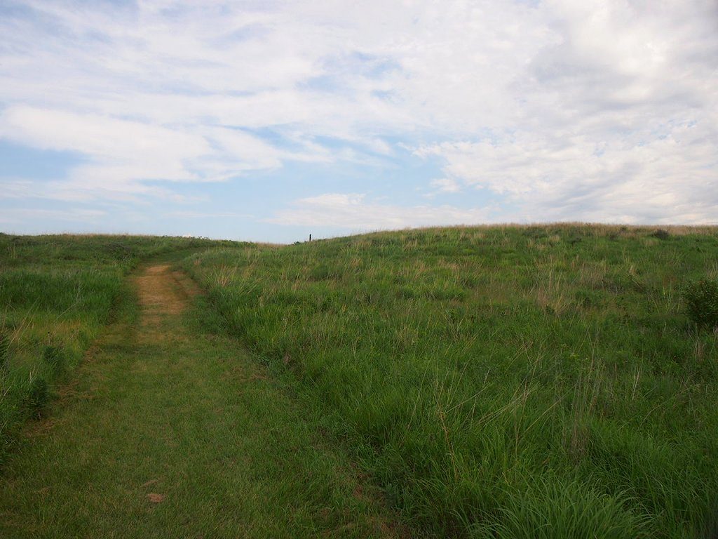
The Douglas State Trail is a 12.5-mile (20.1 km) multiple-use rail trail in Minnesota, USA. It occupies the abandoned Chicago Great Western Railway corridor between Rochester and Pine Island, passing through Douglas along the way. The trail has a paved track for cyclists, hikers, in-line skaters and skiers, as well as a natural surface track for horseback riders and snowmobilers. The Cannon Valley Trail between Cannon Falls and Red Wing makes use of another segment of the same abandoned CGW right-of-way.
Description from the park's Wikipedia article (CC BY-SA), linked in the sources below.
Planning your visit
What to do
Airports near this park
The airports a visitor would actually fly into, nearest first — each link opens its profile on our sister site AirportProfiles.
- Minneapolis–Saint Paul International Airport / Wold–Chamberlain Field (MSP) · Minneapolis, United States · 60.6 miles away
Parks nearby
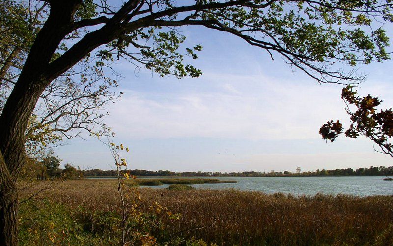
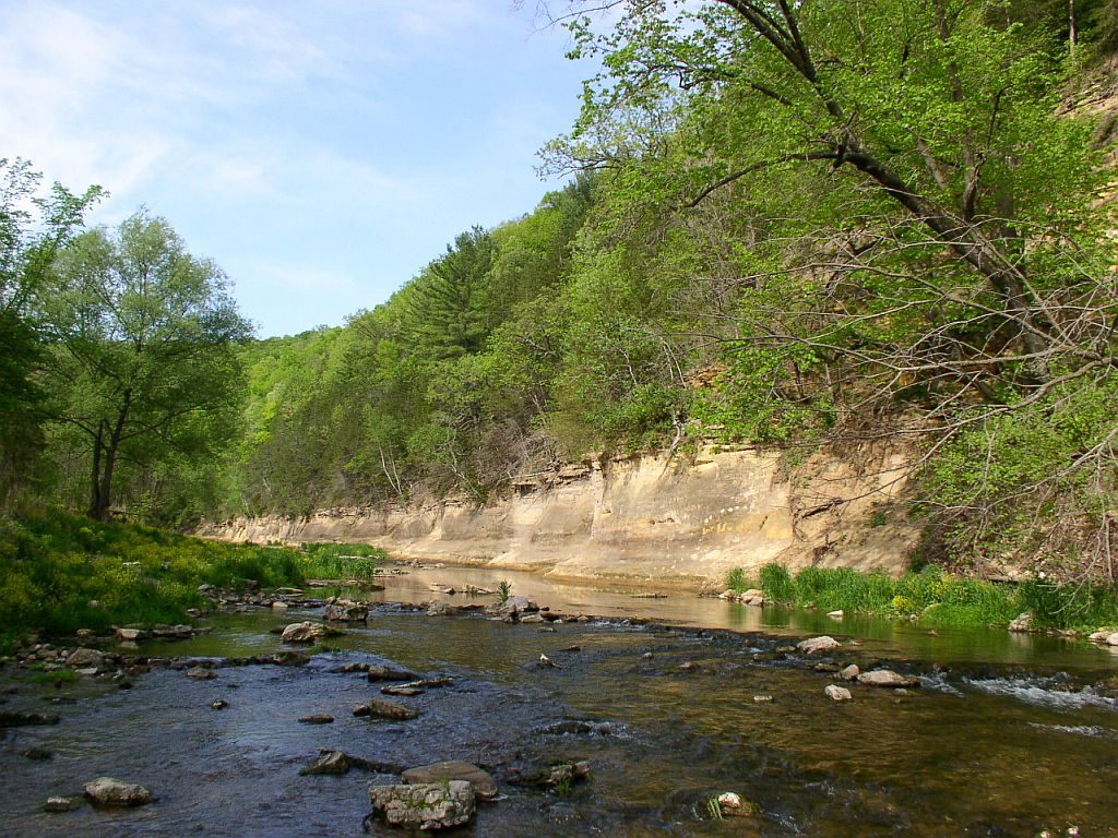
More parks in Minnesota
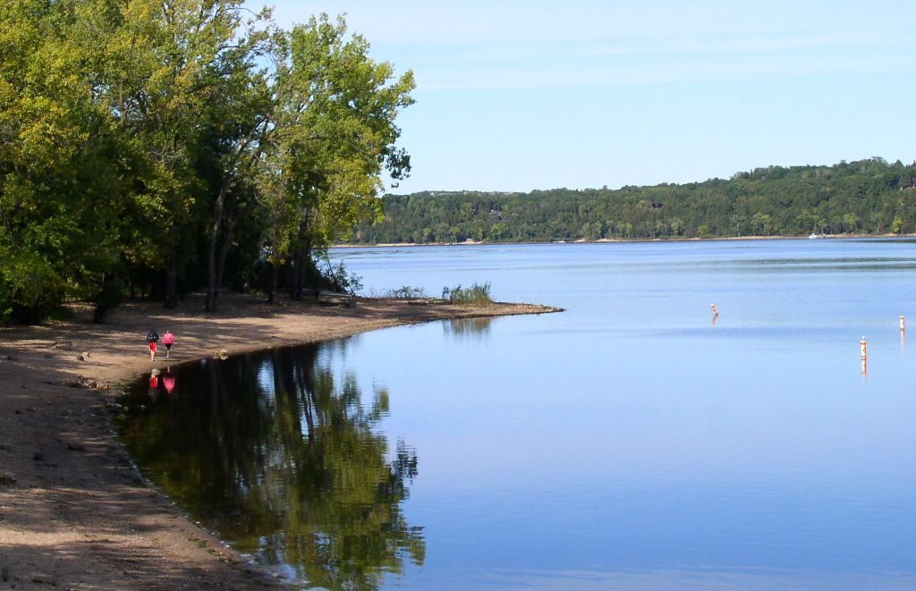
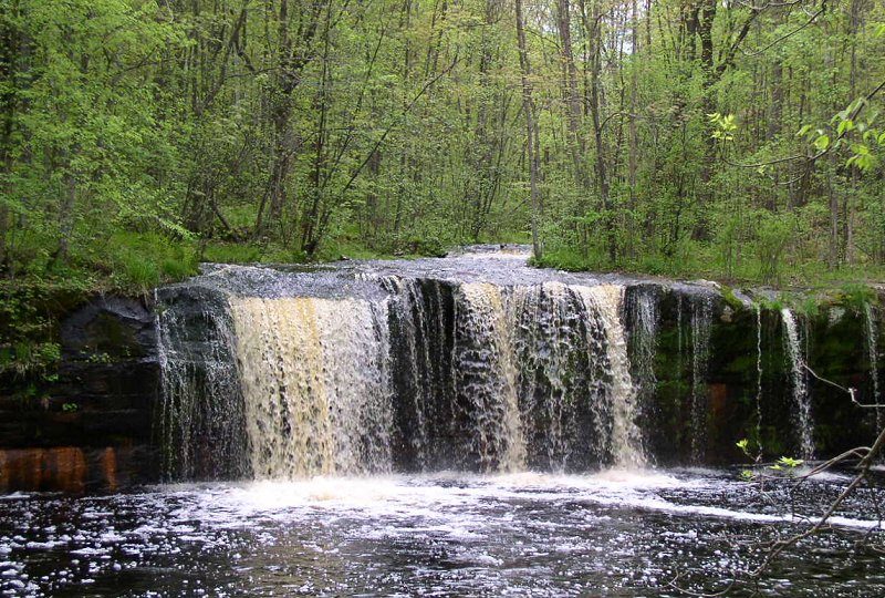
Frequently asked questions
Where is Douglas State Trail?
Douglas State Trail is in Minnesota, United States (44.1275° N, 92.5886° W).
Sources
- https://en.wikipedia.org/wiki/List_of_Minnesota_state_parks — Wikipedia list of Minnesota state parks — park name.
- https://en.wikipedia.org/wiki/Douglas_State_Trail — Wikipedia article — description (CC BY-SA).