
State Park · Minnesota, United States
Goodhue Pioneer State Trail
Goodhue Pioneer State Trail is a state park in Minnesota, United States.
State Park · Minnesota, United States
No freely licensed photograph of this park is in our library yet — rather than borrow a picture of somewhere else, this profile leads with its verified facts.
Park facts
| Park type | State Park |
|---|---|
| Location | Minnesota, United States |
| Length | 10 miles (16.1 km) |
| Coordinates | 44.3553° N, 92.6733° W |
| Managed by | Minnesota state park system |
Every fact above is taken from the sources listed below; anything no source states is left blank rather than guessed.
About Goodhue Pioneer State Trail
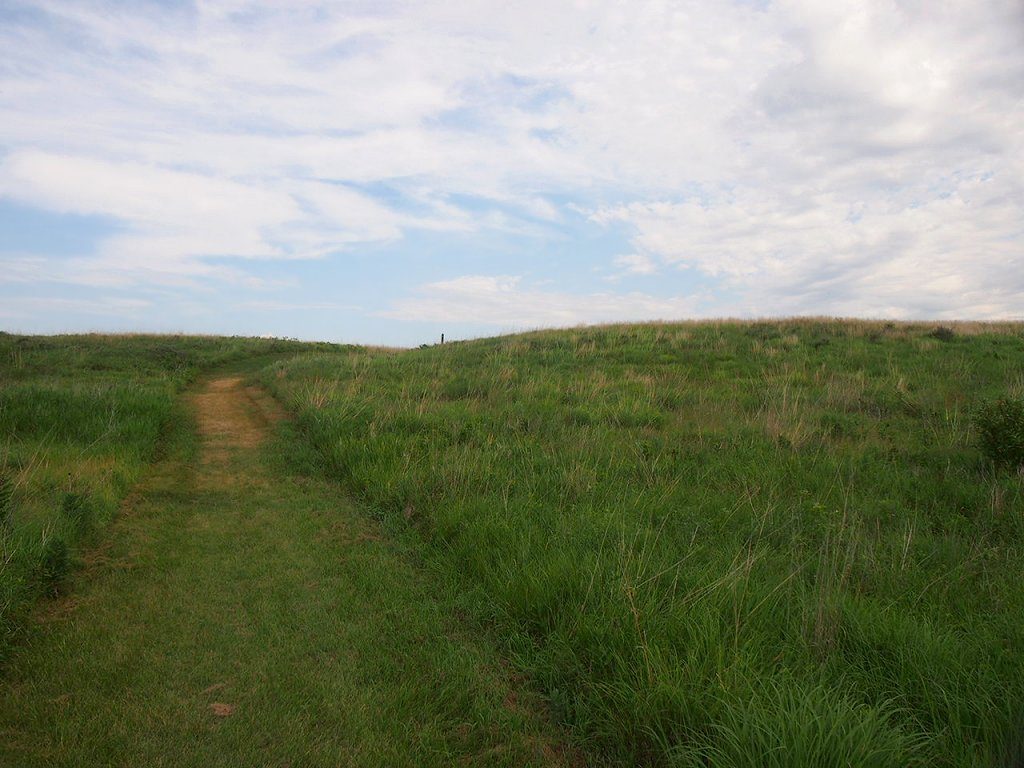
The Goodhue Pioneer State Trail is a multi-use recreational rail trail in southeastern Minnesota, United States. The 10 miles (16 km) of trail currently exist in two segments, separated by a six-mile (10 km) gap. The four-mile (6 km) northern segment is a paved trail running from Red Wing, Minnesota, to the Hay Creek section of the Richard J. Dorer Memorial Hardwood State Forest near Hay Creek Township, with an adjacent natural surface trail for horseback riding through the Hay Creek portion. The 5.5-mile (8.9 km) southern section is a paved trail running northward from the Zumbrota Covered Bridge Park in Zumbrota, Minnesota.
Description from the park's Wikipedia article (CC BY-SA), linked in the sources below.
Planning your visit
What to do
Airports near this park
The airports a visitor would actually fly into, nearest first — each link opens its profile on our sister site AirportProfiles.
- Minneapolis–Saint Paul International Airport / Wold–Chamberlain Field (MSP) · Minneapolis, United States · 45.2 miles away
Parks nearby
More parks in Minnesota
Frequently asked questions
Where is Goodhue Pioneer State Trail?
Goodhue Pioneer State Trail is in Minnesota, United States (44.3553° N, 92.6733° W).
Sources
- https://en.wikipedia.org/wiki/List_of_Minnesota_state_parks — Wikipedia list of Minnesota state parks — park name.
- https://en.wikipedia.org/wiki/Goodhue_Pioneer_State_Trail — Wikipedia article — description (CC BY-SA).