
National Park · Australia
Edel Land National Park
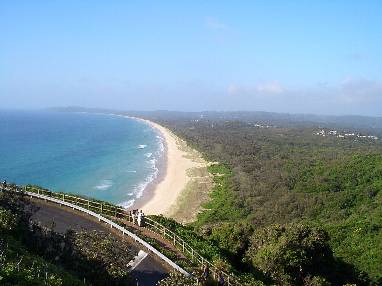
Edel Land National Park is a national park in Australia.
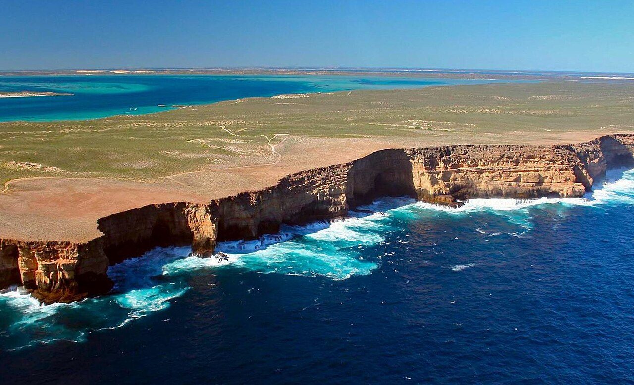
Photo: Ethanwhite07 via Wikimedia Commons, CC BY-SA 4.0. Cropped and resized for display.
Park facts
| Park type | National Park |
|---|---|
| Location | Australia |
| Coordinates | 26.1514° S, 113.1550° E |
Every fact above is taken from the sources listed below; anything no source states is left blank rather than guessed.
About Edel Land National Park
Edel Land National Park is a proposed national park located in the Gascoyne Region of Western Australia, located 670 kilometres (420 mi) north of the state's capital Perth. The national park is also a part of the Shark Bay World Heritage Site and lies south of Steep Point, which was named in 1697 by Willem de Vlamingh calling it Steyle Hock when he was anchored adjacent to the cliffs at the southern side of Dirk Hartog Island.
Description from the park's Wikipedia article (CC BY-SA), linked in the sources below.
Airports near this park
The airports a visitor would actually fly into, nearest first — each link opens its profile on our sister site AirportProfiles.
- Shark Bay Airport (MJK) · Denham, Australia · 31.5 miles away
- Carnarvon Airport (CVQ) · Carnarvon, Australia · 93.2 miles away
Parks nearby
More parks in Australia
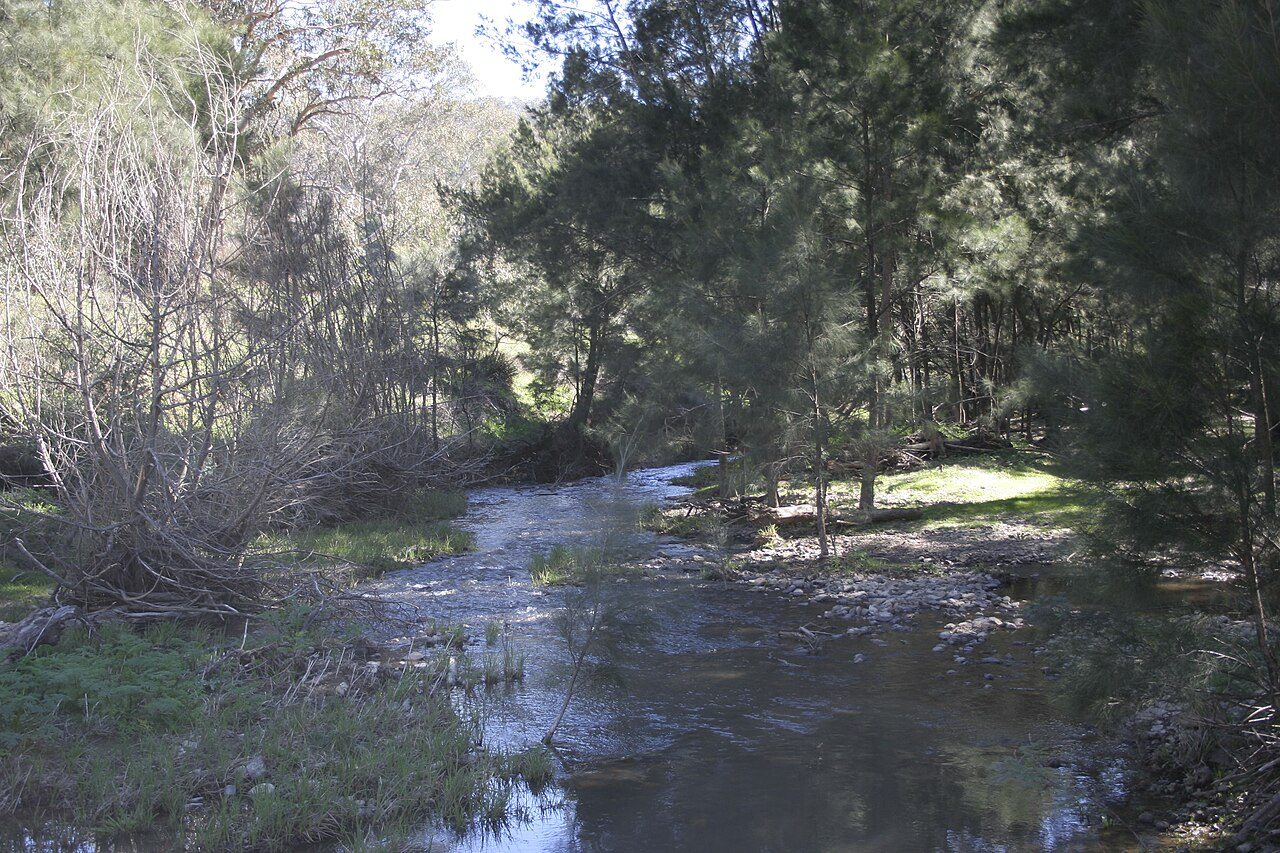
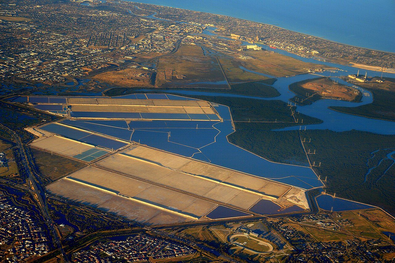
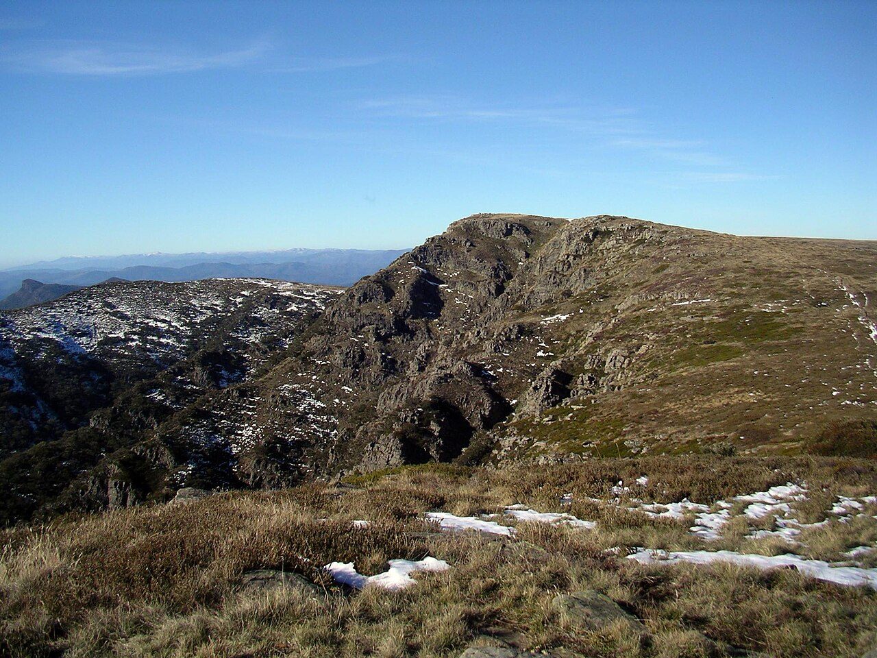
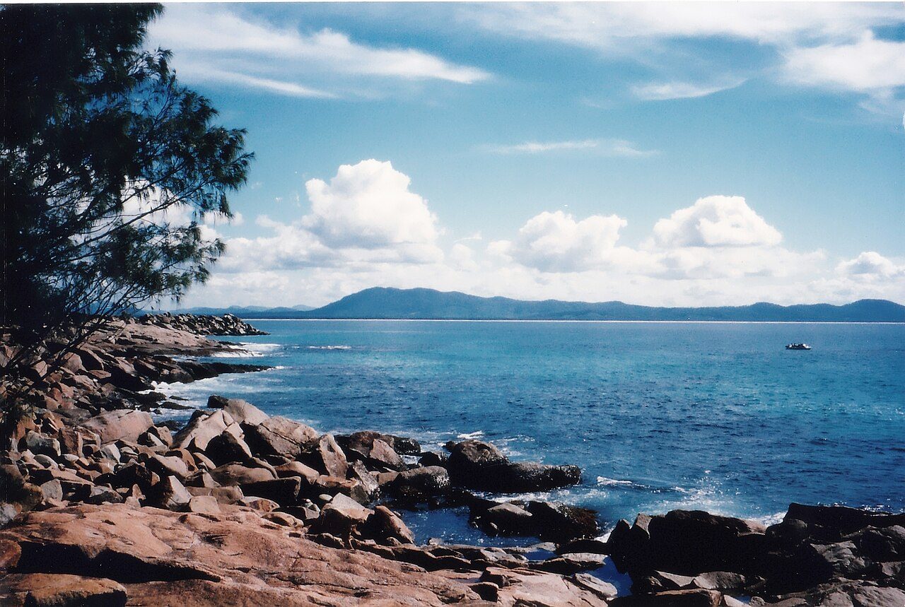

Frequently asked questions
Where is Edel Land National Park?
Edel Land National Park is in Australia (26.1514° S, 113.1550° E).
Sources
- https://www.wikidata.org/wiki/Q48740480 — Wikidata (CC0) — name, country, coordinates, area, established year, highest point where stated.
- https://en.wikipedia.org/wiki/Edel_Land_National_Park — Wikipedia article — description (CC BY-SA).