
National Park · Argentina
El Palmar National Park
El Palmar National Park is a national park in Argentina, covering 21,004 acres (8,500 ha), established in 1966.
National Park · Argentina
No freely licensed photograph of this park is in our library yet — rather than borrow a picture of somewhere else, this profile leads with its verified facts.
Park facts
| Park type | National Park |
|---|---|
| Location | Argentina |
| Area | 21,004 acres (8,500 ha) |
| Established | 1966 |
| Coordinates | 31.8531° S, 58.3225° W |
Every fact above is taken from the sources listed below; anything no source states is left blank rather than guessed.
About El Palmar National Park
El Palmar National Park (in Spanish, Parque Nacional El Palmar) is one of Argentina's national parks. It is located on the center-east of the province of Entre Ríos, midway between the cities of Colón (54 km) and Concordia (60 km). It has an area of about 85 km2 and was created in 1966 for the preservation of its characteristic yatay palm trees (Butia yatay, formerly Syagrus yatay). The park has a temperate-humid savanna ecosystem, typical of the Argentine Mesopotamia. The terrain features patches of palm trees of several species, grassland, small woods and forest.
Description from the park's Wikipedia article (CC BY-SA), linked in the sources below.
Airports near this park
The airports a visitor would actually fly into, nearest first — each link opens its profile on our sister site AirportProfiles.
- General Urquiza Airport (PRA) · Parana, Argentina · 126.7 miles away
- Sauce Viejo Airport (SFN) · Santa Fe, Argentina · 146.5 miles away
Parks nearby
Esteros de Farrapos e Islas del Río Uruguay National Park
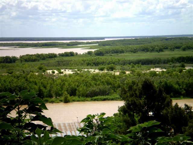
Predelta National Park
Islas de Santa Fé National Park
Iberá National Park
Mburucuyá National Park
San Miguel national park
More parks in Argentina
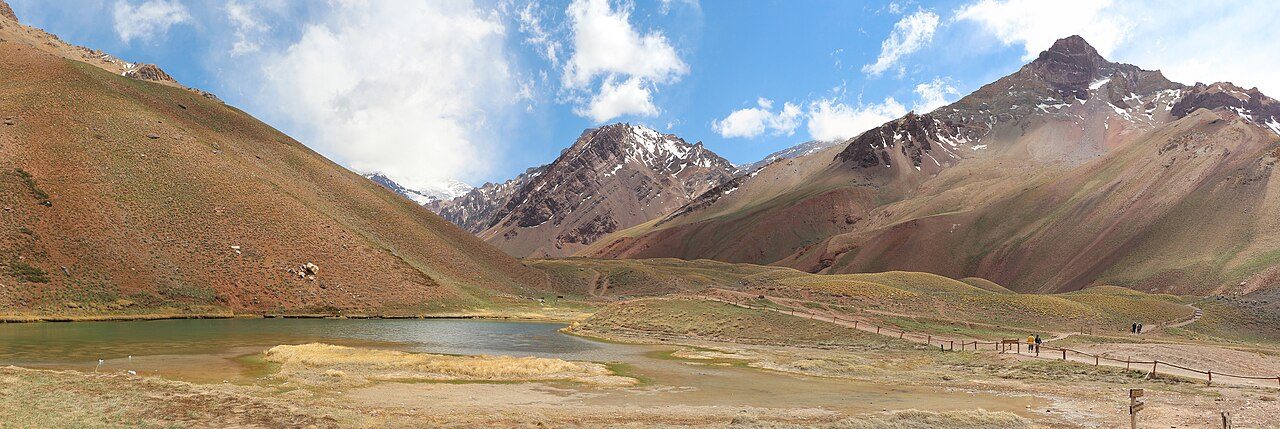
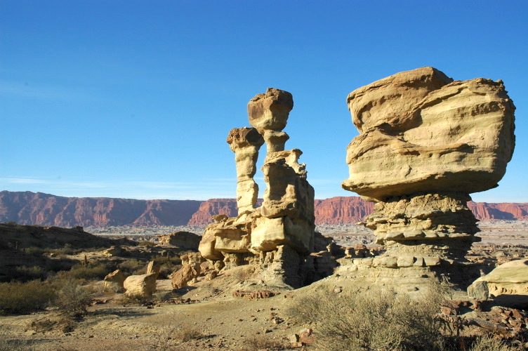
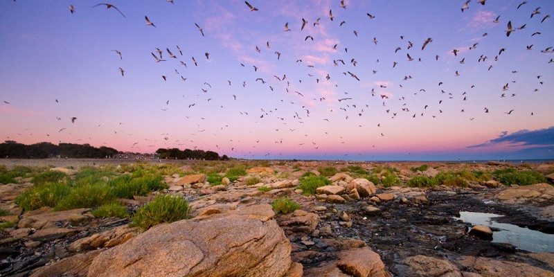
Frequently asked questions
Where is El Palmar National Park?
El Palmar National Park is in Argentina (31.8531° S, 58.3225° W).
When was El Palmar National Park established?
El Palmar National Park was established in 1966, per the source listed at the foot of this page.
How big is El Palmar National Park?
El Palmar National Park covers 21,004 acres (8,500 ha).
Sources
- https://www.wikidata.org/wiki/Q828918 — Wikidata (CC0) — name, country, coordinates, area, established year, highest point where stated.
- https://en.wikipedia.org/wiki/El_Palmar_National_Park — Wikipedia article — description (CC BY-SA).