
National Park · Argentina
Los Arrayanes National Park
Los Arrayanes National Park is a national park in Argentina, covering 4,438 acres (1,796 ha), established in 1971.
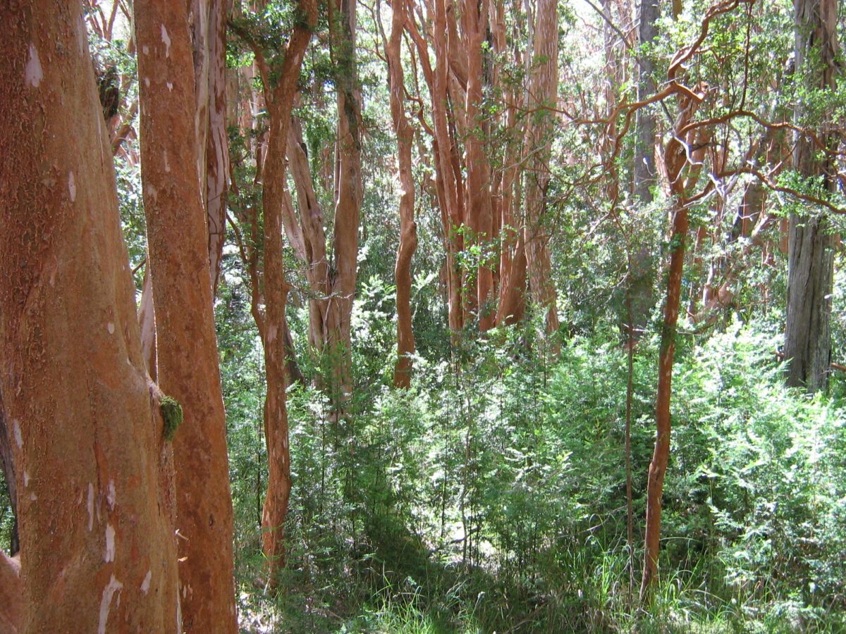
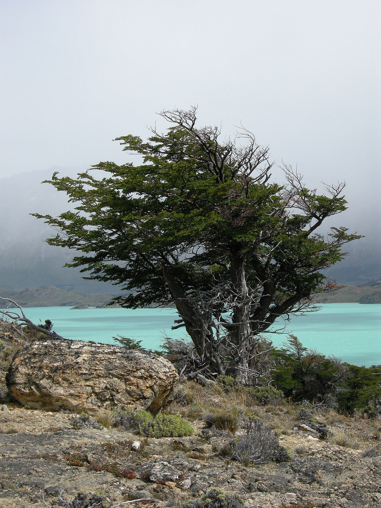
Photo: user:Alfonso" via Wikimedia Commons, CC BY-SA 3.0. Cropped and resized for display.
Park facts
| Park type | National Park |
|---|---|
| Location | Argentina |
| Area | 4,438 acres (1,796 ha) |
| Established | 1971 |
| Coordinates | 40.8614° S, 71.6194° W |
Every fact above is taken from the sources listed below; anything no source states is left blank rather than guessed.
About Los Arrayanes National Park
Los Arrayanes National Park (Spanish: Parque Nacional Los Arrayanes) is a national park of Argentina with an area of 17.53 square kilometres (6.77 sq mi). It covers the Quetrihué Peninsula on the shore of the Nahuel Huapi Lake in the province of Neuquén, 3 km (1.9 mi) from Villa la Angostura. Even though arrayán trees (Luma apiculata) can be seen on the way to the end of the peninsula, the forest of 300-year-old arrayanes covers 0.2 km2 (20 ha) of the southern point, with individuals of over 600 years.
Description from the park's Wikipedia article (CC BY-SA), linked in the sources below.
Planning your visit
What to do
Airports near this park
The airports a visitor would actually fly into, nearest first — each link opens its profile on our sister site AirportProfiles.
- Teniente Luis Candelaria International Airport (BRC) · San Carlos de Bariloche, Argentina · 31.3 miles away
- El Tepual International Airport (PMC) · Puerto Montt, Chile · 86.6 miles away
- La Araucanía International Airport (ZCO) · Temuco, Chile · 144.5 miles away
Parks nearby
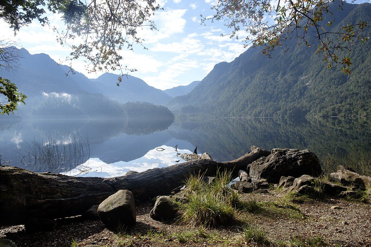
More parks in Argentina
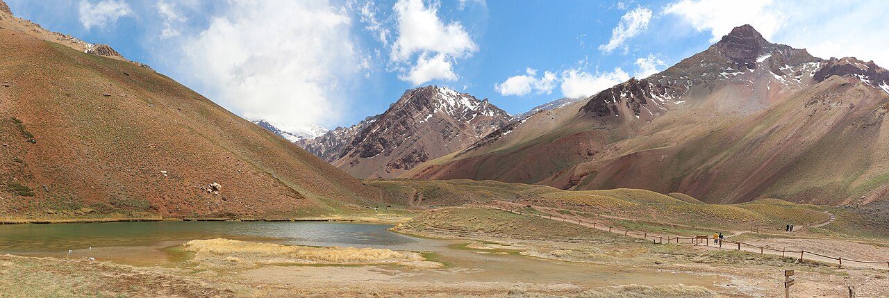
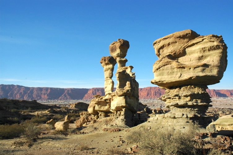
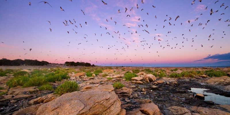

Frequently asked questions
Where is Los Arrayanes National Park?
Los Arrayanes National Park is in Argentina (40.8614° S, 71.6194° W).
When was Los Arrayanes National Park established?
Los Arrayanes National Park was established in 1971, per the source listed at the foot of this page.
How big is Los Arrayanes National Park?
Los Arrayanes National Park covers 4,438 acres (1,796 ha).
Sources
- https://www.wikidata.org/wiki/Q829012 — Wikidata (CC0) — name, country, coordinates, area, established year, highest point where stated.
- https://en.wikipedia.org/wiki/Los_Arrayanes_National_Park — Wikipedia article — description (CC BY-SA).