
National Park · Canada
Georgian Bay Islands National Park
Georgian Bay Islands National Park is a national park in Canada, covering 6,326 acres (2,560 ha), established in 1930.
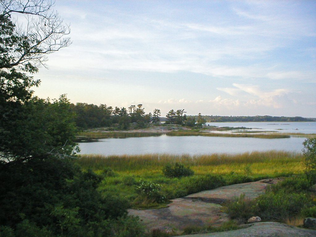
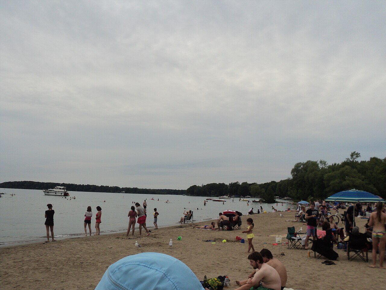
Photo: Kavanagh at English Wikipedia via Wikimedia Commons, Public domain. Cropped and resized for display.
Park facts
| Park type | National Park |
|---|---|
| Location | Canada |
| Area | 6,326 acres (2,560 ha) |
| Established | 1930 |
| Coordinates | 44.8778° N, 79.8747° W |
Every fact above is taken from the sources listed below; anything no source states is left blank rather than guessed.
About Georgian Bay Islands National Park
Georgian Bay Islands National Park (established 1929) consists of 63 small islands or parts of islands in Georgian Bay, near Port Severn, Ontario. The total park area is approximately 13.5 km2 (5.2 sq mi). Prior to the creation of Fathom Five National Marine Park, Flowerpot Island was also a part of the park. The islands blend the exposed rocks and pines of the Canadian Shield with the hardwood forests found further south. The park can only be reached by boat and all of the islands are open to the public. Limited camping and docking facilities, trails and cabins are only available on the largest island, Beausoleil Island.
Description from the park's Wikipedia article (CC BY-SA), linked in the sources below.
Planning your visit
What to do
Airports near this park
The airports a visitor would actually fly into, nearest first — each link opens its profile on our sister site AirportProfiles.
- Toronto Pearson International Airport (YYZ) · Toronto, Canada · 83.9 miles away
- John C. Munro Hamilton International Airport (YHM) · Hamilton, Canada · 117.9 miles away
- Buffalo Niagara International Airport (BUF) · Buffalo, United States · 145.4 miles away
Parks nearby
More parks in Canada









Frequently asked questions
Where is Georgian Bay Islands National Park?
Georgian Bay Islands National Park is in Canada (44.8778° N, 79.8747° W).
When was Georgian Bay Islands National Park established?
Georgian Bay Islands National Park was established in 1930, per the source listed at the foot of this page.
How big is Georgian Bay Islands National Park?
Georgian Bay Islands National Park covers 6,326 acres (2,560 ha).
Sources
- https://www.wikidata.org/wiki/Q583518 — Wikidata (CC0) — name, country, coordinates, area, established year, highest point where stated.
- https://en.wikipedia.org/wiki/Georgian_Bay_Islands_National_Park — Wikipedia article — description (CC BY-SA).