
National Park · Ireland
Glenveagh National Park
Glenveagh National Park is a national park in Ireland, covering 396,604 acres (160,500 ha), established in 1984.
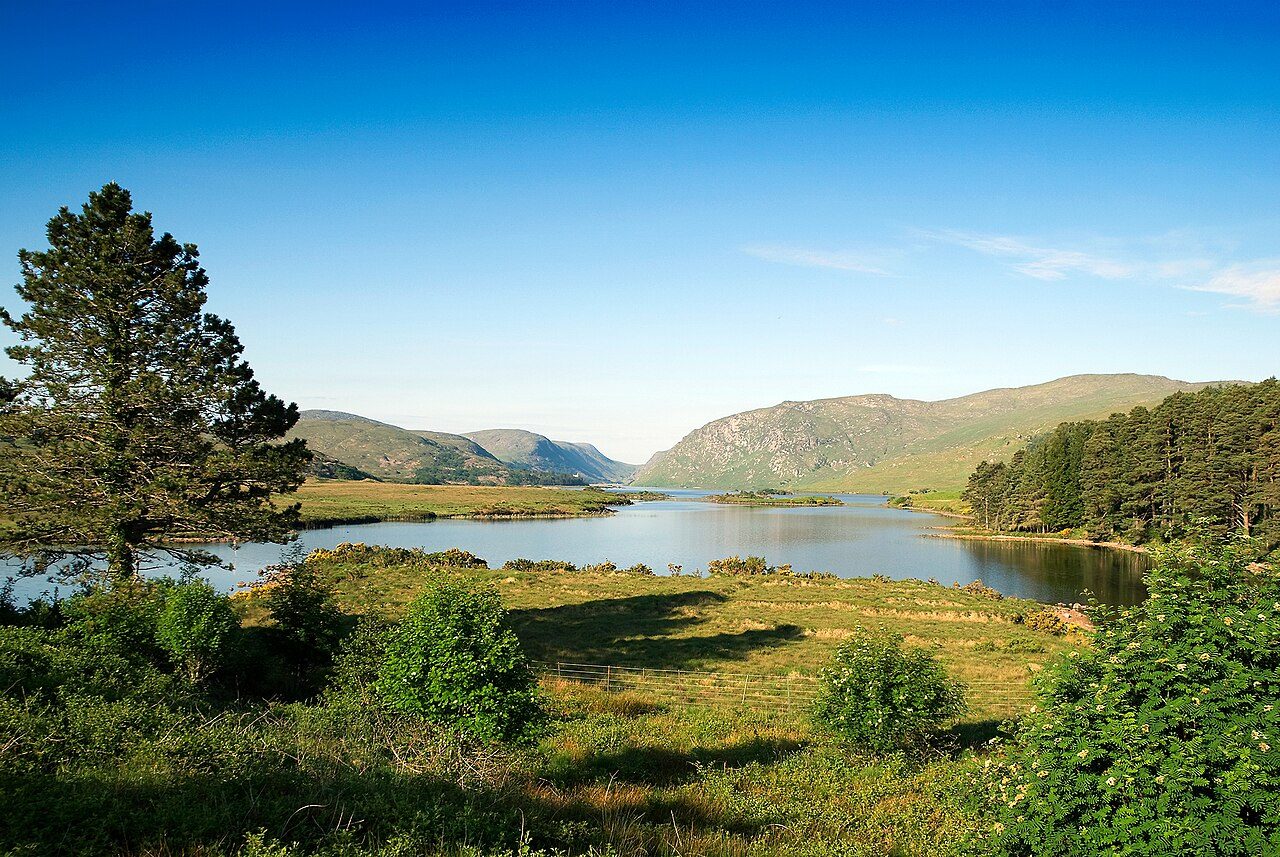
Photo: Michal Osmenda from Brussels, Belgium via Wikimedia Commons, CC BY-SA 2.0. Cropped and resized for display.
Park facts
| Park type | National Park |
|---|---|
| Location | Ireland |
| Area | 396,604 acres (160,500 ha) |
| Established | 1984 |
| Highest point | Errigal — 749 m (2,457 ft) |
| Coordinates | 55.0167° N, 8.0500° W |
Every fact above is taken from the sources listed below; anything no source states is left blank rather than guessed.
About Glenveagh National Park
Glenveagh ( glen-VAY; Irish: Gleann Bheatha, meaning 'glen of the birches') is the second-largest national park in all of Ireland. Located in County Donegal, it includes: Glenveagh Castle and its grounds; Lough Veagh; and much of the Derryveagh Mountains. National parks in Ireland conform to IUCN standards. As of 2024, Glenveagh is the only national park anywhere in Ulster, the northern province in Ireland.
Description from the park's Wikipedia article (CC BY-SA), linked in the sources below.
Airports near this park
The airports a visitor would actually fly into, nearest first — each link opens its profile on our sister site AirportProfiles.
- Belfast International Airport (BFS) · Belfast, United Kingdom · 77.1 miles away
- Ireland West Airport Knock (NOC) · Charlestown, Ireland · 82.4 miles away
- Dublin Airport (DUB) · Dublin, Ireland · 131.3 miles away
Parks nearby
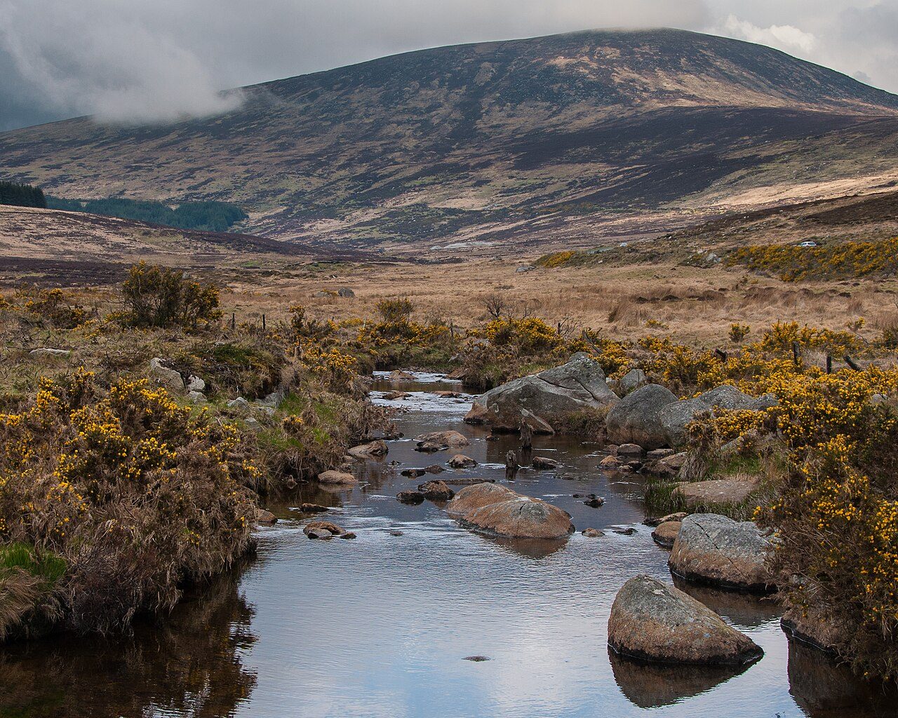
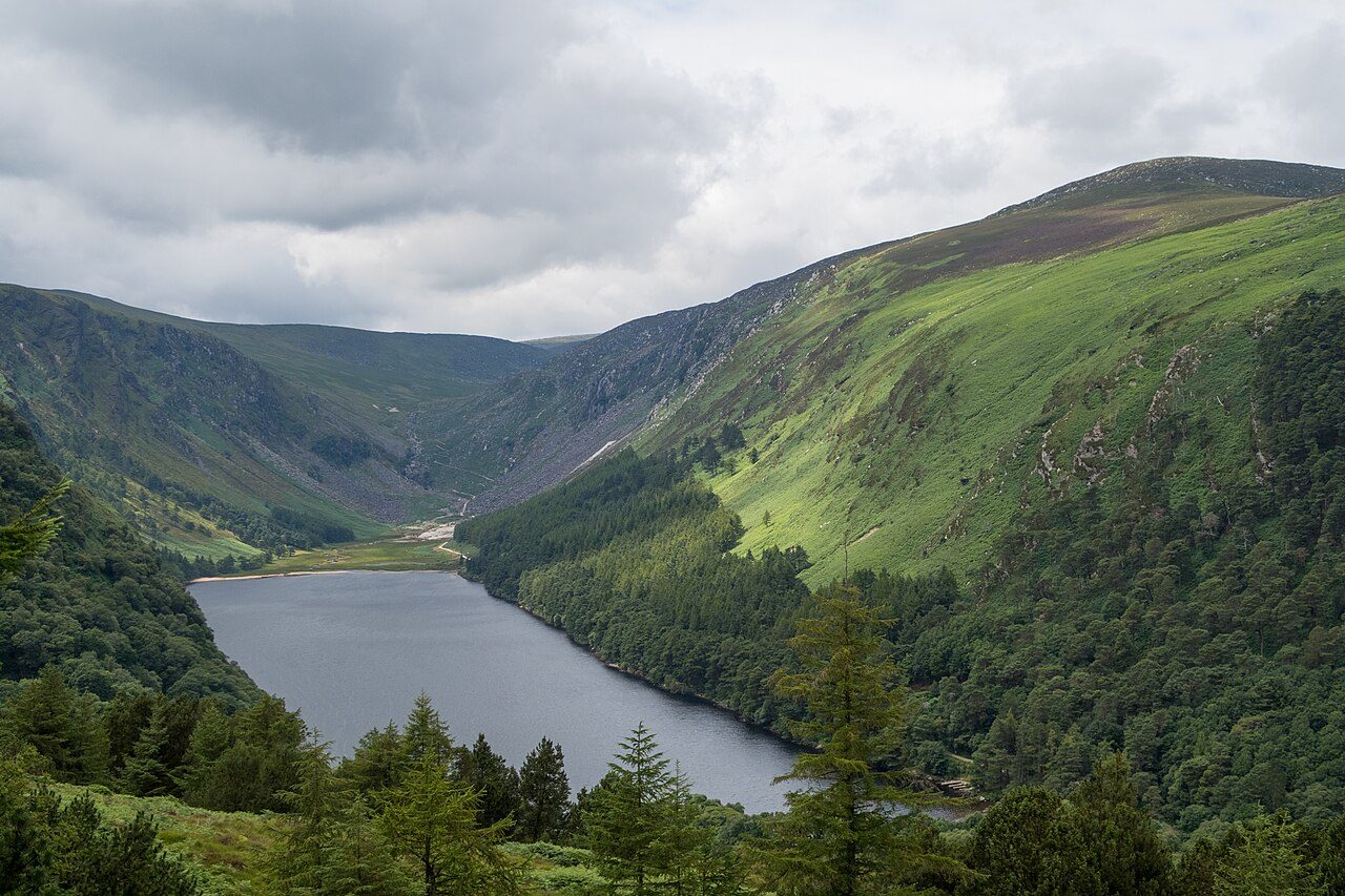
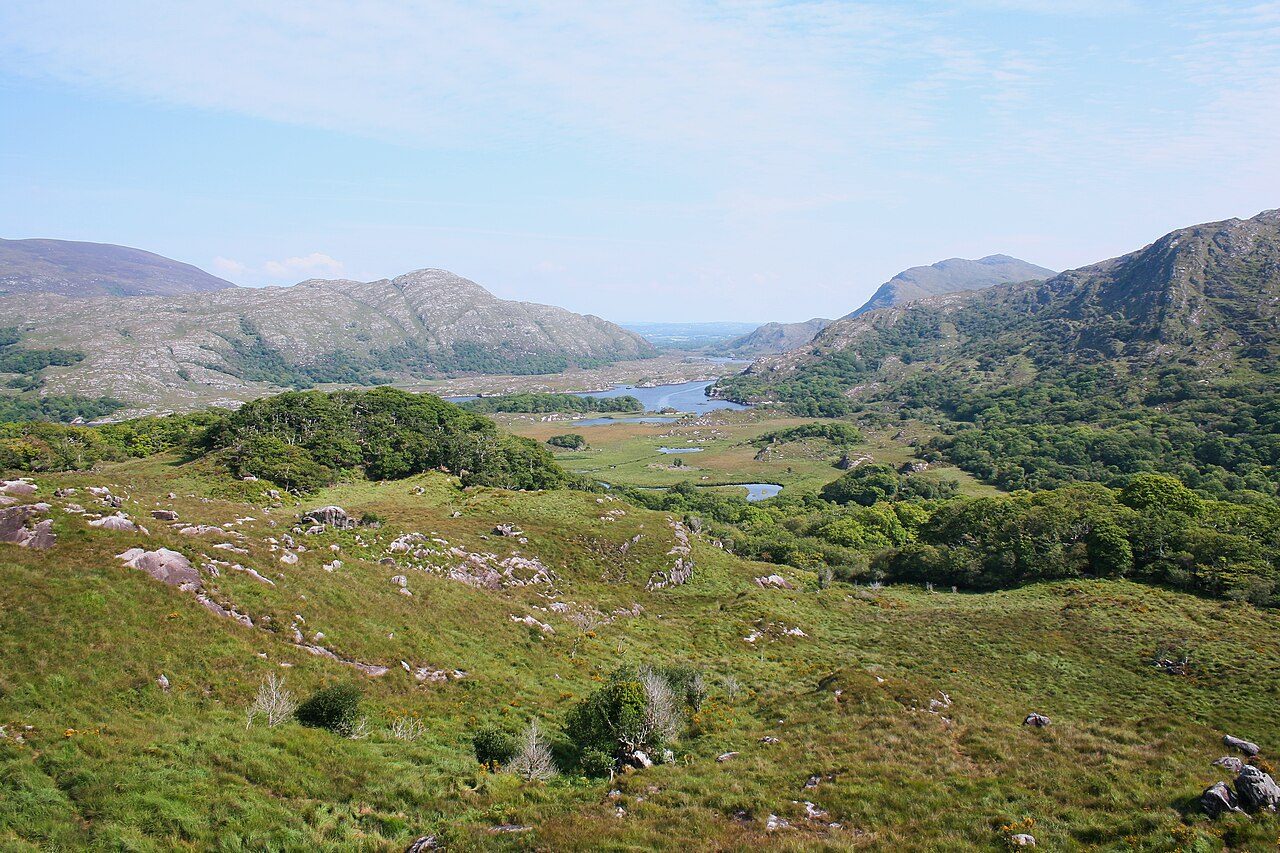

More parks in Ireland
Frequently asked questions
Where is Glenveagh National Park?
Glenveagh National Park is in Ireland (55.0167° N, 8.0500° W).
When was Glenveagh National Park established?
Glenveagh National Park was established in 1984, per the source listed at the foot of this page.
How big is Glenveagh National Park?
Glenveagh National Park covers 396,604 acres (160,500 ha).
What is the highest point in Glenveagh National Park?
The highest point is Errigal, at 749 metres (2,457 ft).
Sources
- https://www.wikidata.org/wiki/Q140033 — Wikidata (CC0) — name, country, coordinates, area, established year, highest point where stated.
- https://en.wikipedia.org/wiki/Glenveagh — Wikipedia article — description (CC BY-SA).