
Protected Area · Ireland
Wicklow Mountains
Wicklow Mountains is a protected area in Ireland, covering 741,315 acres (300,000 ha).
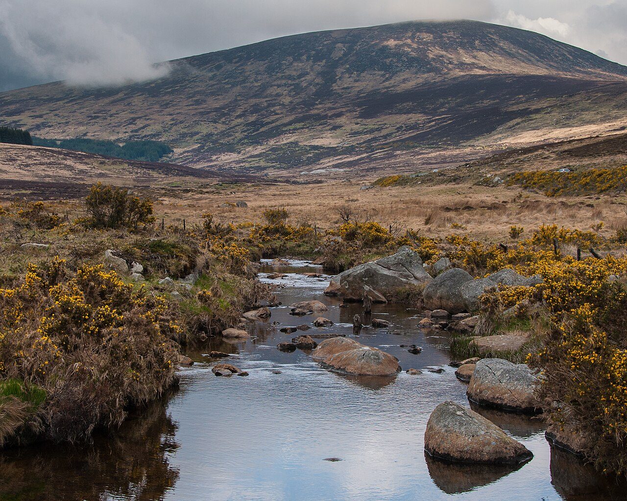
Photo: Joe King via Wikimedia Commons, CC BY-SA 3.0. Cropped and resized for display.
Park facts
| Park type | Protected Area |
|---|---|
| Location | Ireland |
| Area | 741,315 acres (300,000 ha) |
| Highest point | Lugnaquilla — 925 m (3,035 ft) |
| Coordinates | 53.0833° N, 6.3333° W |
Every fact above is taken from the sources listed below; anything no source states is left blank rather than guessed.
About Wicklow Mountains
The Wicklow Mountains (Irish: Sléibhte Chill Mhantáin, archaic: Cualu) form the largest continuous upland area in Ireland. They occupy the whole centre of County Wicklow and stretch outside its borders into the counties of Dublin, Wexford and Carlow. Where the mountains extend into County Dublin, they are known locally as the Dublin Mountains (Sléibhte Bhaile Átha Cliath). The highest peak is Lugnaquilla at 925 metres (3,035 feet). The mountains are primarily composed of granite surrounded by an envelope of mica-schist and much older rocks such as quartzite.
Description from the park's Wikipedia article (CC BY-SA), linked in the sources below.
Airports near this park
The airports a visitor would actually fly into, nearest first — each link opens its profile on our sister site AirportProfiles.
- Dublin Airport (DUB) · Dublin, Ireland · 24.0 miles away
- Isle of Man Airport (IOM) · Castletown, Rushen, Isle of Man · 98.4 miles away
- Belfast International Airport (BFS) · Belfast, United Kingdom · 108.9 miles away
Parks nearby

More parks in Ireland
Frequently asked questions
Where is Wicklow Mountains?
Wicklow Mountains is in Ireland (53.0833° N, 6.3333° W).
How big is Wicklow Mountains?
Wicklow Mountains covers 741,315 acres (300,000 ha).
What is the highest point in Wicklow Mountains?
The highest point is Lugnaquilla, at 925 metres (3,035 ft).
Sources
- https://www.wikidata.org/wiki/Q945002 — Wikidata (CC0) — name, country, coordinates, area, established year, highest point where stated.
- https://en.wikipedia.org/wiki/Wicklow_Mountains — Wikipedia article — description (CC BY-SA).