
National Park · Kazakhstan
Katon-Karagay National Park
Katon-Karagay National Park is a national park in Kazakhstan, covering 1,590,064 acres (643,477 ha), established in 2001.
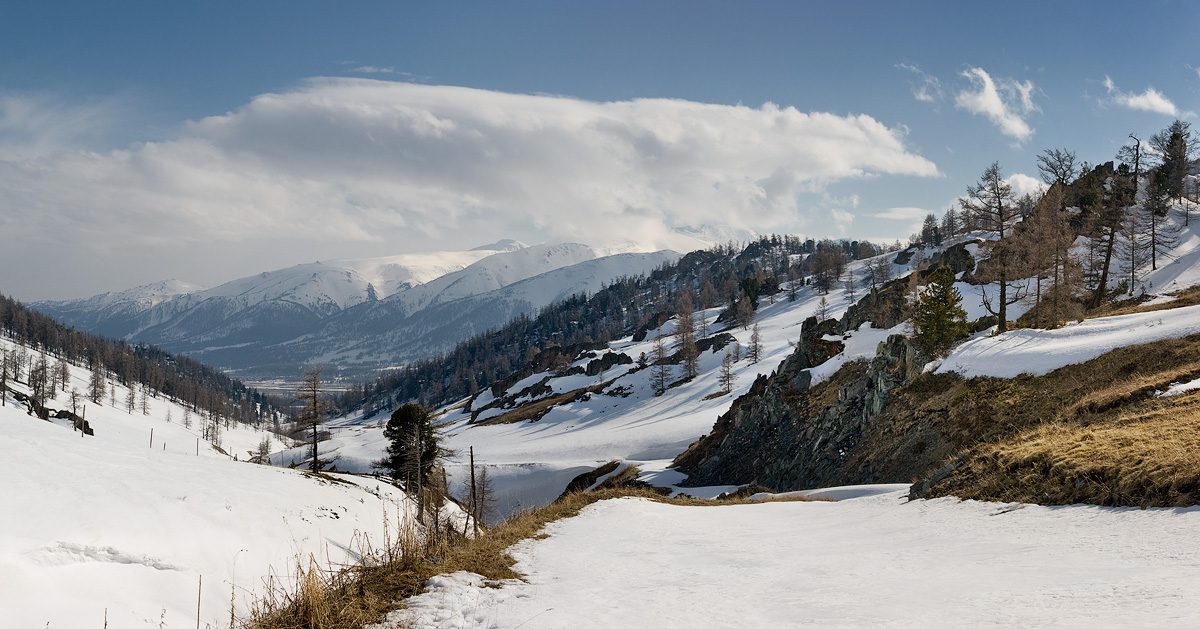
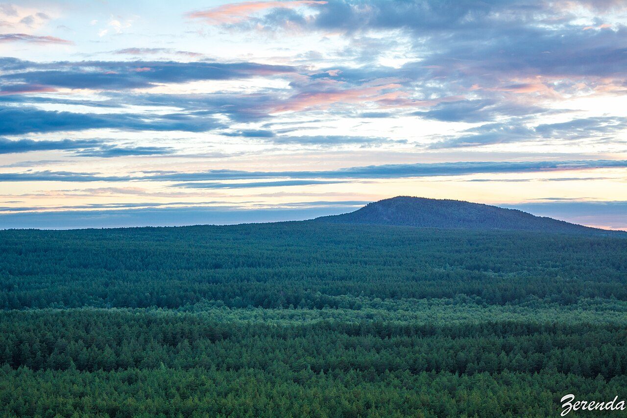
Photo: Dmitry A. Mottl via Wikimedia Commons, CC BY-SA 3.0. Cropped and resized for display.
Park facts
| Park type | National Park |
|---|---|
| Location | Kazakhstan |
| Area | 1,590,064 acres (643,477 ha) |
| Established | 2001 |
| Coordinates | 49.3000° N, 86.6000° E |
Every fact above is taken from the sources listed below; anything no source states is left blank rather than guessed.
About Katon-Karagay National Park
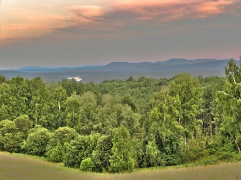
Katon-Karagay National Park (Kazakh: Катонқараға́й мемлекетті́к ұлтты́қ табиғи́ паркі́, romanized: Katonqarağai memlekettık ūlttyq tabiği parkı) is the largest national park in Kazakhstan, located on the eastern edge of the country, in the Southern Altai Mountains. The park fills the western side of the "X" where the borders of Kazakhstan, Russia, China, and Mongolia meet. The highest peak in the South Siberian Mountains (Belukha Mountain, 4,506 m (14,783 ft)), is on the Russian border in the Katun Range.
Description from the park's Wikipedia article (CC BY-SA), linked in the sources below.
Airports near this park
The airports a visitor would actually fly into, nearest first — each link opens its profile on our sister site AirportProfiles.
- Burqin Kanas Airport (KJI) · Burqin, China · 76.6 miles away
- Altay Xuedu Airport (AAT) · Altay, China · 126.9 miles away
Parks nearby
More parks in Kazakhstan

Frequently asked questions
Where is Katon-Karagay National Park?
Katon-Karagay National Park is in Kazakhstan (49.3000° N, 86.6000° E).
When was Katon-Karagay National Park established?
Katon-Karagay National Park was established in 2001, per the source listed at the foot of this page.
How big is Katon-Karagay National Park?
Katon-Karagay National Park covers 1,590,064 acres (643,477 ha).
Sources
- https://www.wikidata.org/wiki/Q4217451 — Wikidata (CC0) — name, country, coordinates, area, established year, highest point where stated.
- https://en.wikipedia.org/wiki/Katon-Karagay_National_Park — Wikipedia article — description (CC BY-SA).