
National Park · Kazakhstan
Kokshetau National Park
Kokshetau National Park is a national park in Kazakhstan, covering 449,919 acres (182,076 ha), established in 1996.
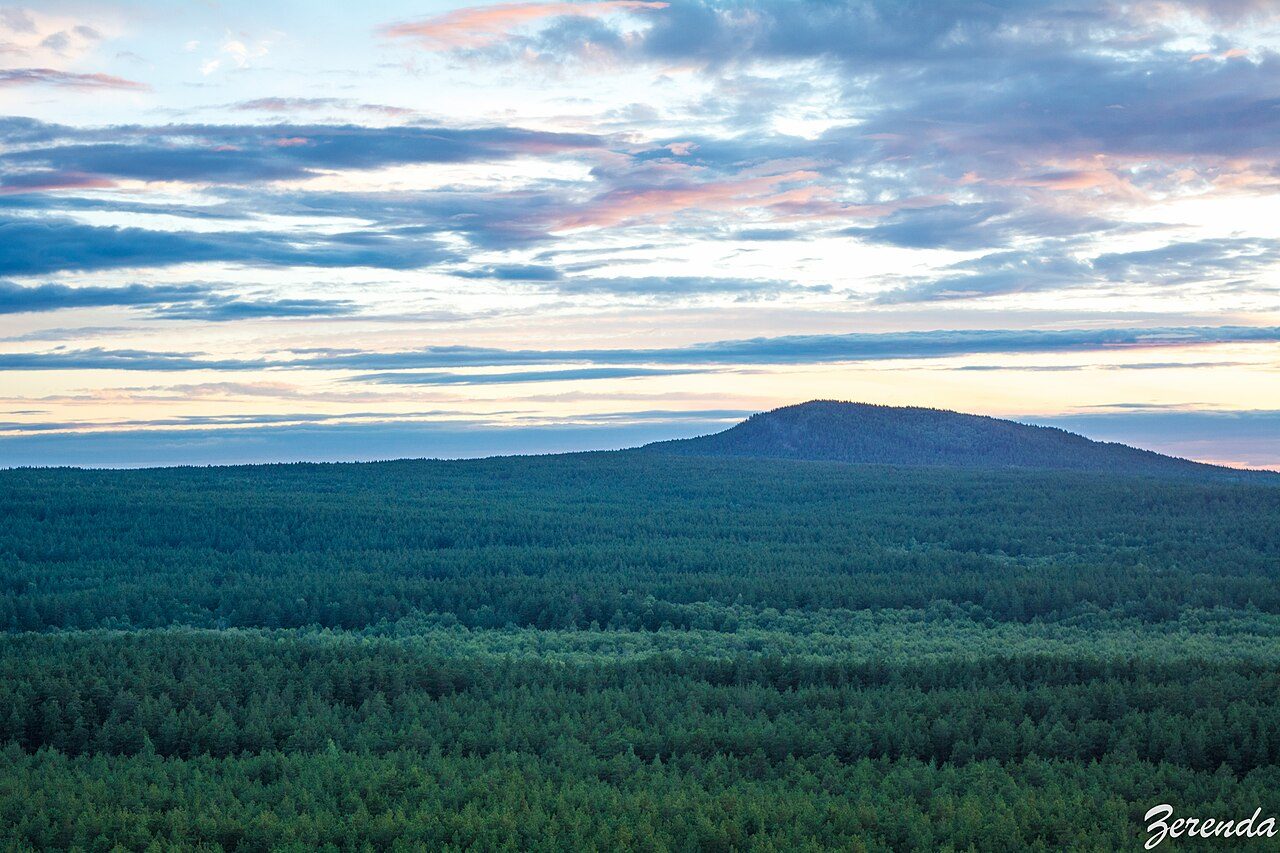
Photo: Zerenda Anvolaru via Wikimedia Commons, CC BY-SA 4.0. Cropped and resized for display.
Park facts
| Park type | National Park |
|---|---|
| Location | Kazakhstan |
| Area | 449,919 acres (182,076 ha) |
| Established | 1996 |
| Coordinates | 52.8865° N, 68.4682° E |
Every fact above is taken from the sources listed below; anything no source states is left blank rather than guessed.
About Kokshetau National Park
Kokshetau National Park (Kazakh: Kökşetau ūlttyq parkı) features the unique landscape, archaeological sites, and recreational opportunities of the Kazakh Uplands of northern Kazakhstan. Located in the transition zone between the Siberian taiga (to the north) and the southern steppes, the terrain is an "island" of forests, lakes, and mountains surrounded by steppe. Kokshetau is located in Zerendi District, Aqmola Region and Aiyrtau District, North Kazakhstan Region. The park boundary is 45 kilometres (28 mi) west of the city of Kokshetau itself, and 275 kilometres (171 mi) northwest of the capital city of Nur-Sultan.
Description from the park's Wikipedia article (CC BY-SA), linked in the sources below.
Airports near this park
The airports a visitor would actually fly into, nearest first — each link opens its profile on our sister site AirportProfiles.
- Kokshetau International Airport (KOV) · Kokshetau, Kazakhstan · 55.8 miles away
- Petropavl International Airport (PPK) · Petropavl, Kazakhstan · 133.8 miles away
Parks nearby
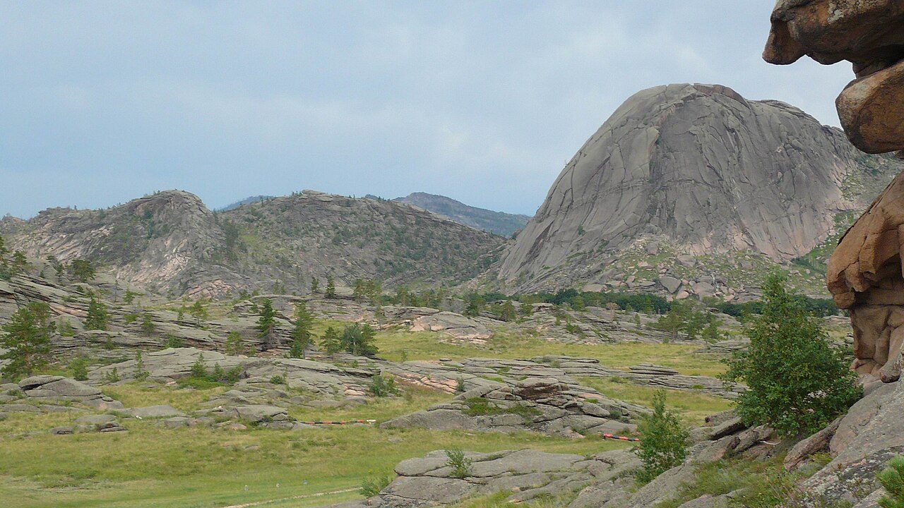
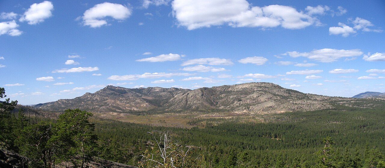
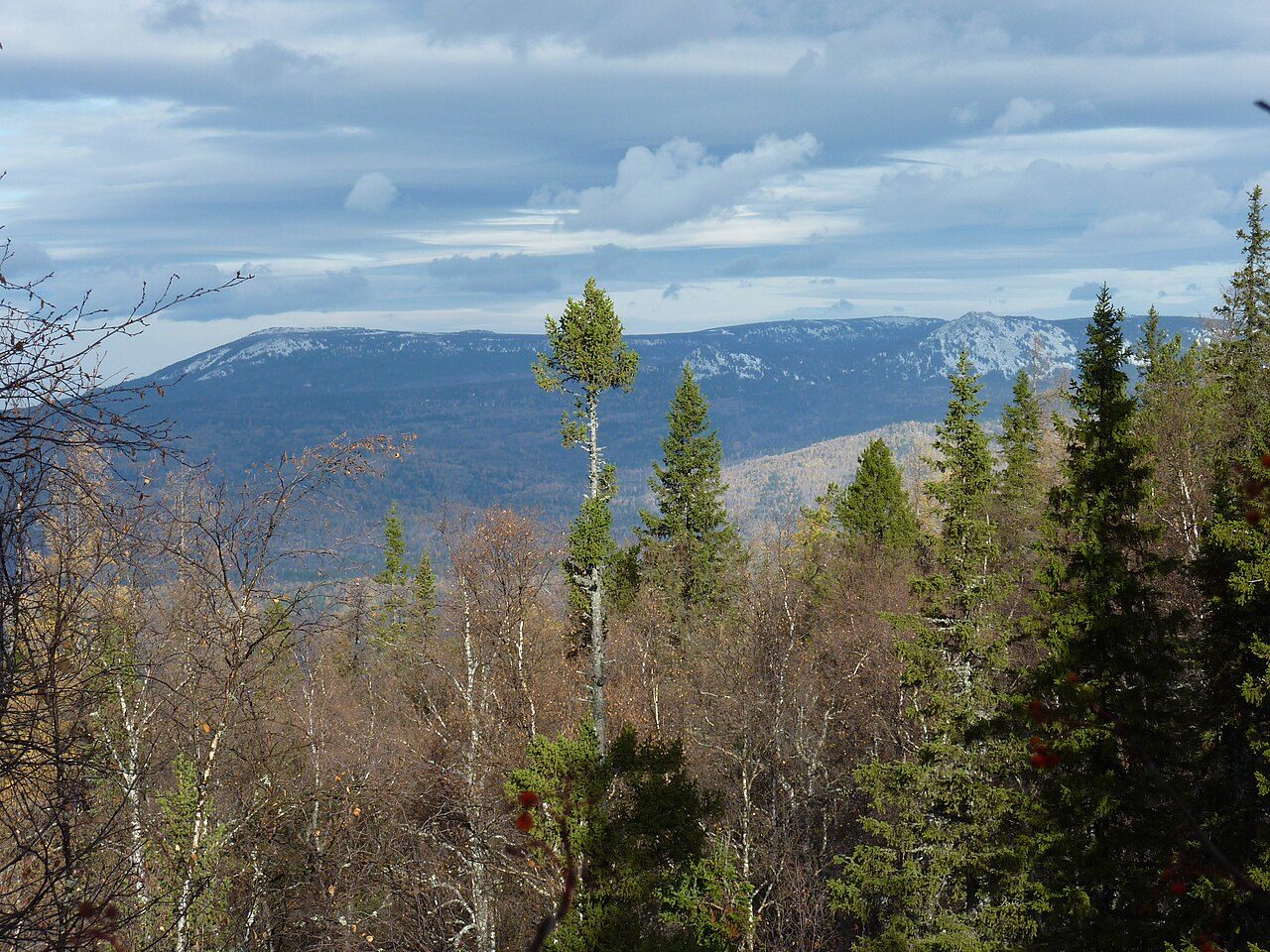
More parks in Kazakhstan
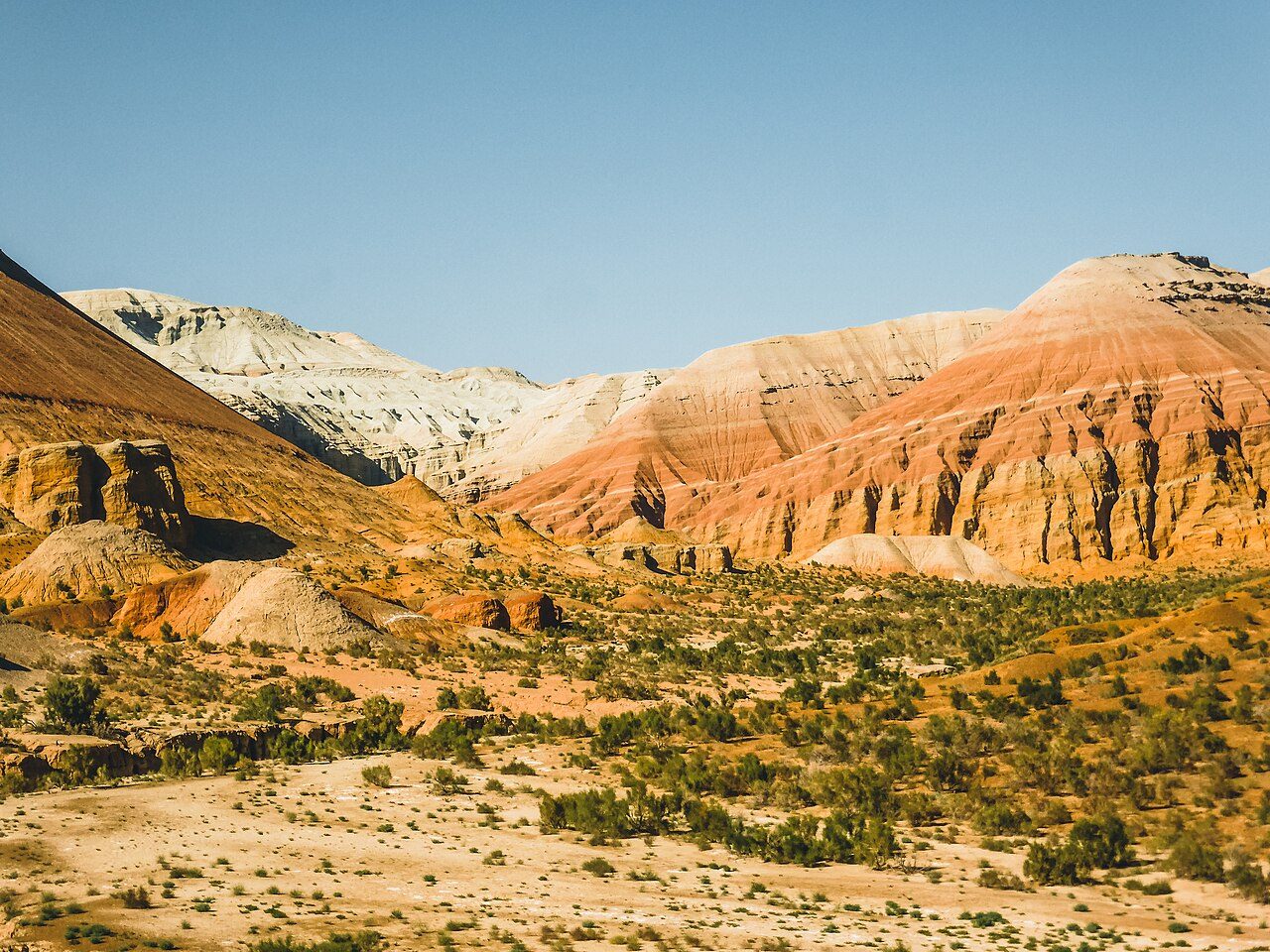

Frequently asked questions
Where is Kokshetau National Park?
Kokshetau National Park is in Kazakhstan (52.8865° N, 68.4682° E).
When was Kokshetau National Park established?
Kokshetau National Park was established in 1996, per the source listed at the foot of this page.
How big is Kokshetau National Park?
Kokshetau National Park covers 449,919 acres (182,076 ha).
Sources
- https://www.wikidata.org/wiki/Q4227524 — Wikidata (CC0) — name, country, coordinates, area, established year, highest point where stated.
- https://en.wikipedia.org/wiki/Kokshetau_National_Park — Wikipedia article — description (CC BY-SA).