
Provincial Park · Canada
La Cloche Provincial Park
La Cloche Provincial Park is a provincial park in Canada, covering 18,404 acres (7,448 ha), established in 1985.
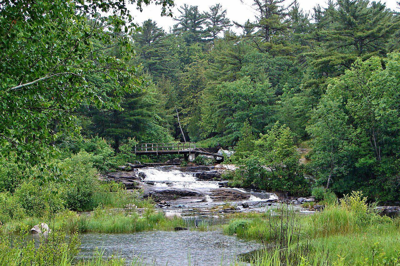
Photo: P199 via Wikimedia Commons, CC BY-SA 4.0. Cropped and resized for display.
Park facts
| Park type | Provincial Park |
|---|---|
| Location | Canada |
| Area | 18,404 acres (7,448 ha) |
| Established | 1985 |
| Coordinates | 46.1050° N, 82.0250° W |
Every fact above is taken from the sources listed below; anything no source states is left blank rather than guessed.
About La Cloche Provincial Park
La Cloche Provincial Park is a provincial park at the boundary of Algoma and Sudbury Districts in Ontario, Canada. The park consists of an unspoiled section of the La Cloche Mountains that stretch along the North Channel of Georgian Bay, as well as several islands in the channel (which are mostly part of Manitoulin District). Notable features of the park include the site of the former Fort La Cloche trading post and diabase dykes cutting through older Lorrain, Gowganda, and Bruce formations, as well as ridge and terrace forests, and various wetlands and shoreline vegetation.
Description from the park's Wikipedia article (CC BY-SA), linked in the sources below.
Planning your visit
What to do
Like La Cloche Provincial Park? Visit La Cloche Provincial Park’s official park page for hours and current conditions before you travel.
Airports near this park
The airports a visitor would actually fly into, nearest first — each link opens its profile on our sister site AirportProfiles.
- Sudbury Airport (YSB) · Sudbury, Canada · 68.6 miles away
- Alpena County Regional Airport (APN) · Alpena, United States · 102.7 miles away
- Wiarton Airport (YVV) · Wiarton, Canada · 103.9 miles away
Parks nearby
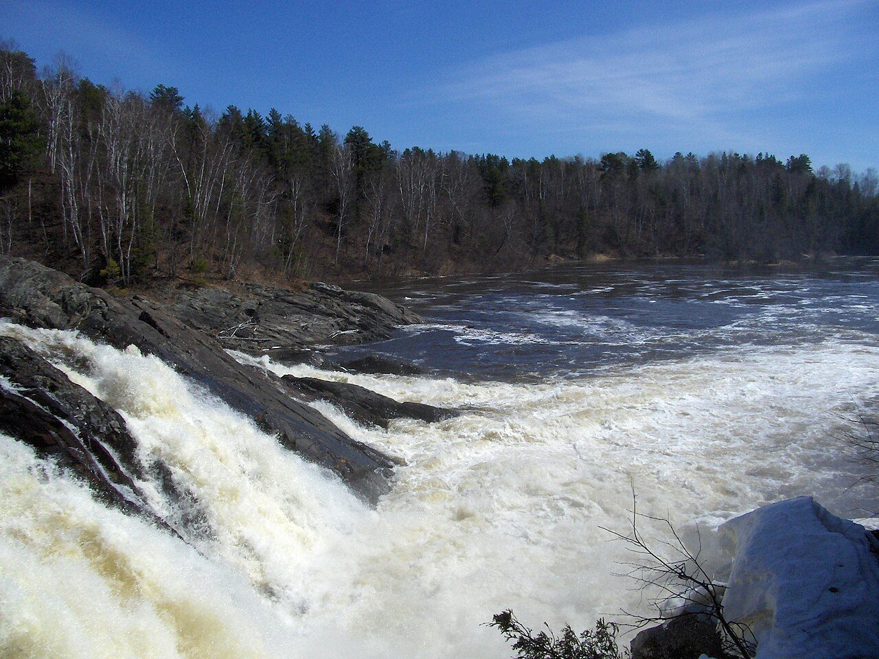
Chutes Provincial Park
Killarney Lakelands and Headwaters Provincial Park
Mississagi Provincial Park
Matinenda Provincial Park
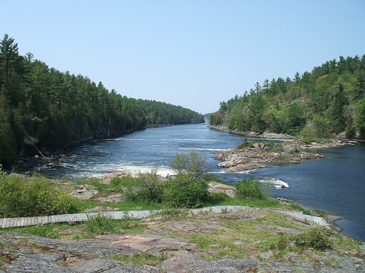
French River Provincial Park
Halfway Lake Provincial Park
More parks in Canada









Frequently asked questions
Where is La Cloche Provincial Park?
La Cloche Provincial Park is in Canada (46.1050° N, 82.0250° W).
When was La Cloche Provincial Park established?
La Cloche Provincial Park was established in 1985, per the source listed at the foot of this page.
How big is La Cloche Provincial Park?
La Cloche Provincial Park covers 18,404 acres (7,448 ha).
Sources
- https://www.wikidata.org/wiki/Q3364666 — Wikidata (CC0) — name, country, coordinates, area, established year, highest point where stated.
- https://en.wikipedia.org/wiki/La_Cloche_Provincial_Park — Wikipedia article — description (CC BY-SA).