
National Park · Canada
La Mauricie National Park
La Mauricie National Park is a national park in Canada, covering 132,473 acres (53,610 ha), established in 1977.
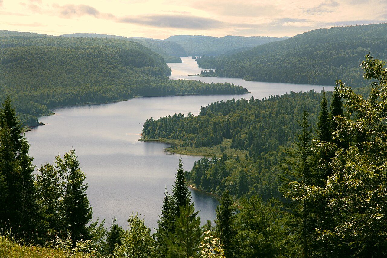
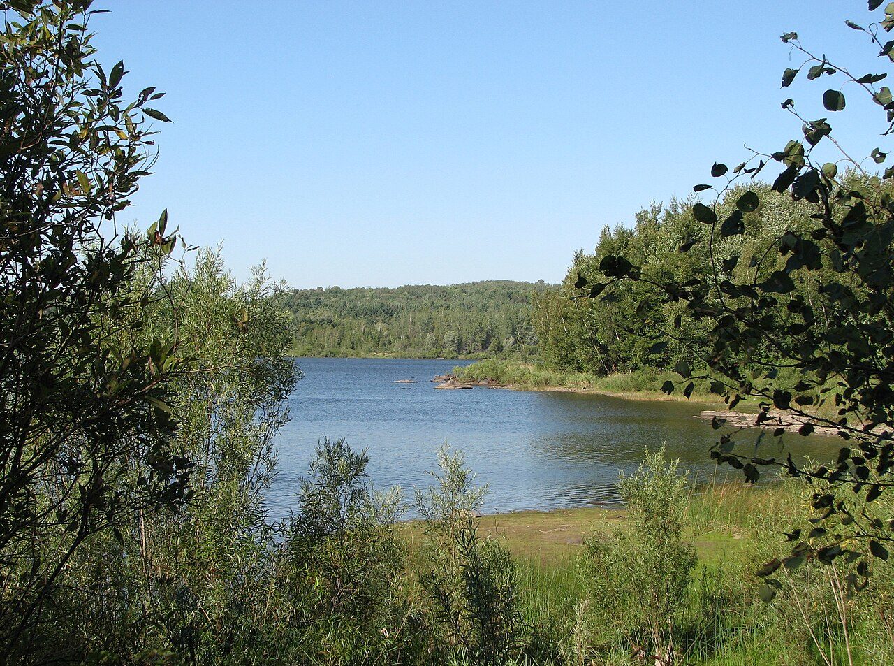
Photo: Marc-Lautenbacher via Wikimedia Commons, CC BY-SA 4.0. Cropped and resized for display.
Park facts
| Park type | National Park |
|---|---|
| Location | Canada |
| Area | 132,473 acres (53,610 ha) |
| Established | 1977 |
| Coordinates | 46.8000° N, 72.9667° W |
Every fact above is taken from the sources listed below; anything no source states is left blank rather than guessed.
About La Mauricie National Park
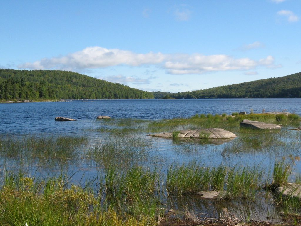
La Mauricie National Park (French: Parc national de la Mauricie) is a national park located near Shawinigan in the Laurentian Mountains, in the Mauricie region of Quebec, Canada. It covers 536 km2 (207 sq mi) in the southern Canadian Shield region bordering the Saint Lawrence lowlands. The park contains 150 lakes and many ponds. The park lies within the Eastern forest-boreal transition ecoregion. The forests in this region were logged from the middle of the 19th century to the early 20th century. The park's forests have regrown and contain a mixture of conifers and mixed deciduous trees.
Description from the park's Wikipedia article (CC BY-SA), linked in the sources below.
Planning your visit
What to do
Airports near this park
The airports a visitor would actually fly into, nearest first — each link opens its profile on our sister site AirportProfiles.
- Quebec Jean Lesage International Airport (YQB) · Quebec, Canada · 74.4 miles away
- Montreal / Pierre Elliott Trudeau International Airport (YUL) · Montréal, Canada · 99.3 miles away
Parks nearby
More parks in Canada









Frequently asked questions
Where is La Mauricie National Park?
La Mauricie National Park is in Canada (46.8000° N, 72.9667° W).
When was La Mauricie National Park established?
La Mauricie National Park was established in 1977, per the source listed at the foot of this page.
How big is La Mauricie National Park?
La Mauricie National Park covers 132,473 acres (53,610 ha).
Sources
- https://www.wikidata.org/wiki/Q1798539 — Wikidata (CC0) — name, country, coordinates, area, established year, highest point where stated.
- https://en.wikipedia.org/wiki/La_Mauricie_National_Park — Wikipedia article — description (CC BY-SA).