
State Recreation Area · California, United States
Lake Oroville State Recreation Area
Lake Oroville State Recreation Area is a state recreation area in California, United States.
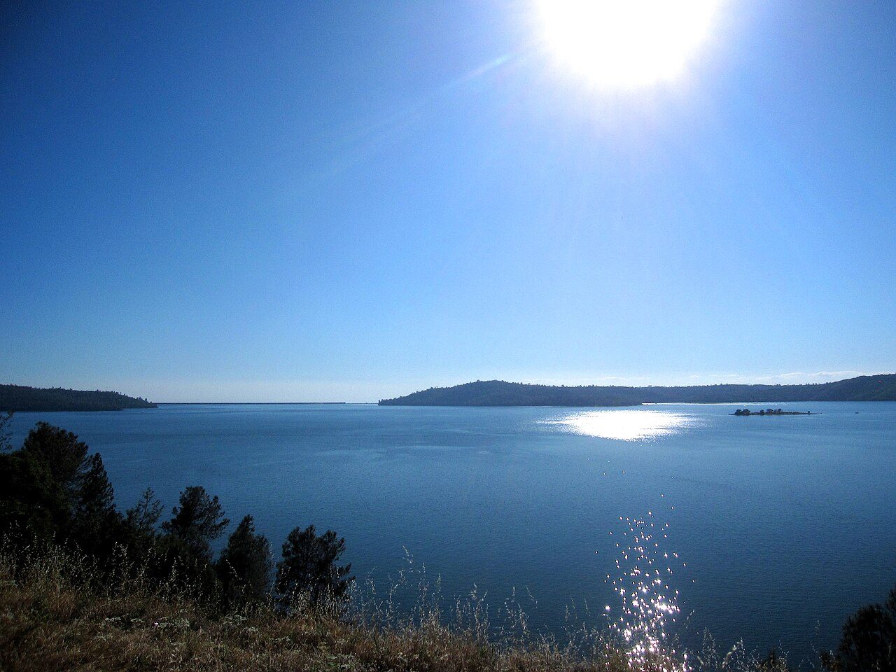
Photo: Quinn Comendant via Wikimedia Commons, CC BY-SA 2.0. Cropped and resized for display.
Park facts
| Park type | State Recreation Area |
|---|---|
| Location | Butte, California, United States |
| Coordinates | 39.5636° N, 121.4560° W |
| Managed by | California state park system |
Every fact above is taken from the sources listed below; anything no source states is left blank rather than guessed.
About Lake Oroville State Recreation Area
Lake Oroville State Recreation Area (LOSRA) is a state park unit of California, United States, surrounding Lake Oroville, a reservoir on the Feather River. It is located in Butte County outside Oroville, California. The 29,447-acre (11,917 ha) park was established in 1967. The recreation area "includes Lake Oroville and the surrounding lands and facilities within the project area as well as the land and waters in and around the Diversion Pool and Thermalito Forebay, downstream of Oroville Dam."
Description from the park's Wikipedia article (CC BY-SA), linked in the sources below.
Airports near this park
The airports a visitor would actually fly into, nearest first — each link opens its profile on our sister site AirportProfiles.
- Sacramento International Airport (SMF) · Sacramento, United States · 60.4 miles away
- Reno Tahoe International Airport (RNO) · Reno, United States · 90.1 miles away
- Oakland San Francisco Bay Airport (OAK) · Oakland, United States · 133.9 miles away
Parks nearby
More parks in California

Frequently asked questions
Where is Lake Oroville State Recreation Area?
Lake Oroville State Recreation Area is in California, United States (39.5636° N, 121.4560° W).
Sources
- https://en.wikipedia.org/wiki/List_of_California_state_parks — Wikipedia list of California state parks — park name, county/location, size, year where the table states them.
- https://en.wikipedia.org/wiki/Lake_Oroville_State_Recreation_Area — Wikipedia article — description (CC BY-SA).