
State Park · Australia
Langi Ghiran State Park
Langi Ghiran State Park is a state park in Australia, covering 7,519 acres (3,043 ha), established in 1984.
State Park · Australia
No freely licensed photograph of this park is in our library yet — rather than borrow a picture of somewhere else, this profile leads with its verified facts.
Park facts
| Park type | State Park |
|---|---|
| Location | Australia |
| Area | 7,519 acres (3,043 ha) |
| Established | 1984 |
| Coordinates | 37.3006° S, 143.1056° E |
Every fact above is taken from the sources listed below; anything no source states is left blank rather than guessed.
About Langi Ghiran State Park
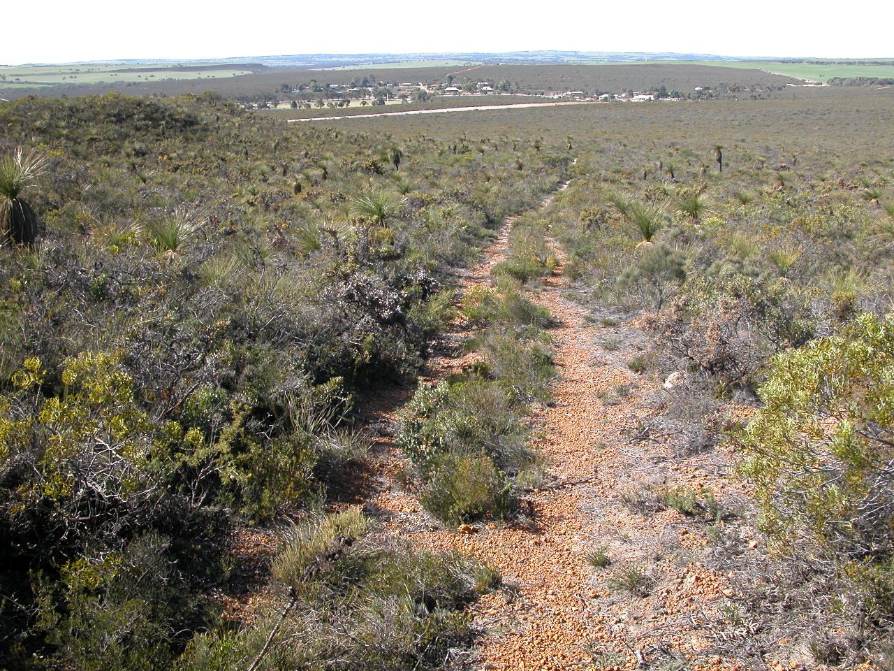
The Langi Ghiran State Park is 14 km east of Ararat in the state of Victoria, Australia. The park covers an area of 2695 ha. The park can be used for camping, walking and driving. It has steep granite peaks and gentle sloping open woodland sections. The name Langi Ghiran, a corruption of "Lar-ne-jeering" in the language of the local Djab Wurrung people, means "Home of the Yellow-tailed Black Cockatoos". Other parks nearby are Mount Buangor to the east and the Grampians/Gariwerd to the distant west.
Description from the park's Wikipedia article (CC BY-SA), linked in the sources below.
Planning your visit
What to do
Getting there
| Nearest town | Ararat, Australia |
|---|---|
| Getting there | about 14 km east of Ararat |
Airports near this park
The airports a visitor would actually fly into, nearest first — each link opens its profile on our sister site AirportProfiles.
- Melbourne Avalon International Airport (AVV) · Geelong/Melbourne, Australia · 90.3 miles away
- Melbourne Airport (MEL) · Melbourne, Australia · 98.4 miles away
Parks nearby
More parks in Australia
Frequently asked questions
Where is Langi Ghiran State Park?
Langi Ghiran State Park is in Australia (37.3006° S, 143.1056° E).
When was Langi Ghiran State Park established?
Langi Ghiran State Park was established in 1984, per the source listed at the foot of this page.
How big is Langi Ghiran State Park?
Langi Ghiran State Park covers 7,519 acres (3,043 ha).
How do I get to Langi Ghiran State Park?
The nearest town is Ararat, Australia. about 14 km east of Ararat.
Sources
- https://www.wikidata.org/wiki/Q6486132 — Wikidata (CC0) — name, country, coordinates, area, established year, highest point where stated.
- https://en.wikipedia.org/wiki/Langi_Ghiran_State_Park — Wikipedia article — description (CC BY-SA).