
State Park · Australia
Mount Buangor State Park
Mount Buangor State Park is a state park in Australia, covering 5,931 acres (2,400 ha), established in 1989.
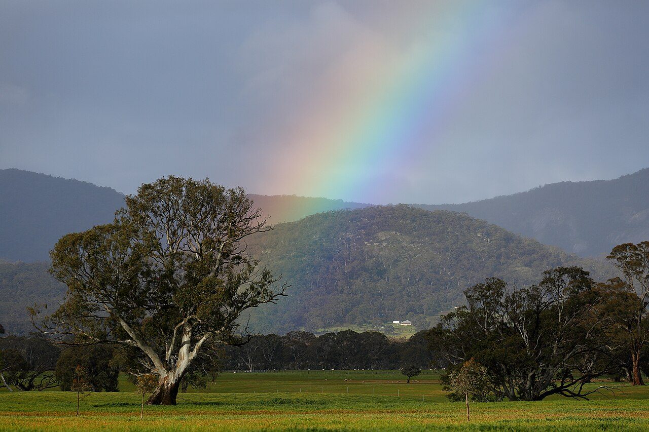
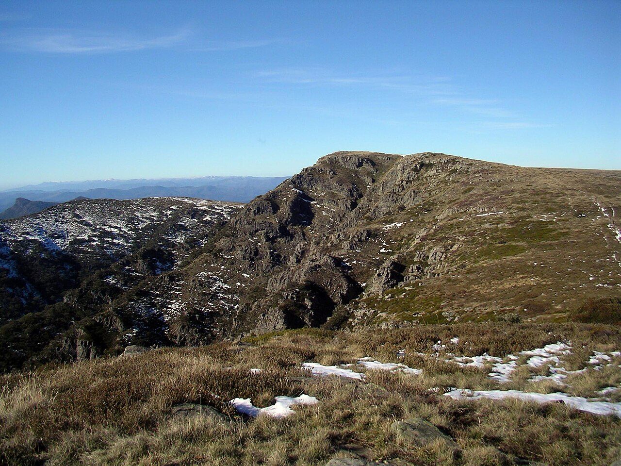
Photo: Ed Dunens via Wikimedia Commons, CC BY 2.0. Cropped and resized for display.
Park facts
| Park type | State Park |
|---|---|
| Location | Australia |
| Area | 5,931 acres (2,400 ha) |
| Established | 1989 |
| Coordinates | 37.3285° S, 143.2230° E |
Every fact above is taken from the sources listed below; anything no source states is left blank rather than guessed.
About Mount Buangor State Park
Mount Buangor State Park is located 60 kilometres west of Ballarat, Victoria in Bayindeen. The 2400-hectare park takes in varied eucalypt forest, creek flats, a waterfall, steep escarpments, and the area's highest peak, Mount Buangor (987 m.). The park contains a 15 km network of walking trails. The eucalypt trees include Yarra gums, manna gums, blue gums, messmates, narrow-leaved peppermint gums, snow gums and red stringybarks, as well as large tree ferns. More than 130 species of birds have been recorded in the Mount Cole State Forest, which includes the park.
Description from the park's Wikipedia article (CC BY-SA), linked in the sources below.
Planning your visit
Getting there
| Nearest town | Ballarat, Australia |
|---|---|
| Getting there | about 60 km west of Ballarat |
Airports near this park
The airports a visitor would actually fly into, nearest first — each link opens its profile on our sister site AirportProfiles.
- Melbourne Avalon International Airport (AVV) · Geelong/Melbourne, Australia · 83.9 miles away
- Melbourne Airport (MEL) · Melbourne, Australia · 91.6 miles away
Parks nearby
More parks in Australia

Frequently asked questions
Where is Mount Buangor State Park?
Mount Buangor State Park is in Australia (37.3285° S, 143.2230° E).
When was Mount Buangor State Park established?
Mount Buangor State Park was established in 1989, per the source listed at the foot of this page.
How big is Mount Buangor State Park?
Mount Buangor State Park covers 5,931 acres (2,400 ha).
How do I get to Mount Buangor State Park?
The nearest town is Ballarat, Australia. about 60 km west of Ballarat.
Sources
- https://www.wikidata.org/wiki/Q6919895 — Wikidata (CC0) — name, country, coordinates, area, established year, highest point where stated.
- https://en.wikipedia.org/wiki/Mount_Buangor_State_Park — Wikipedia article — description (CC BY-SA).