
State Park · Connecticut, United States
Larkin State Park Trail
Larkin State Park Trail is a state park in Connecticut, United States.

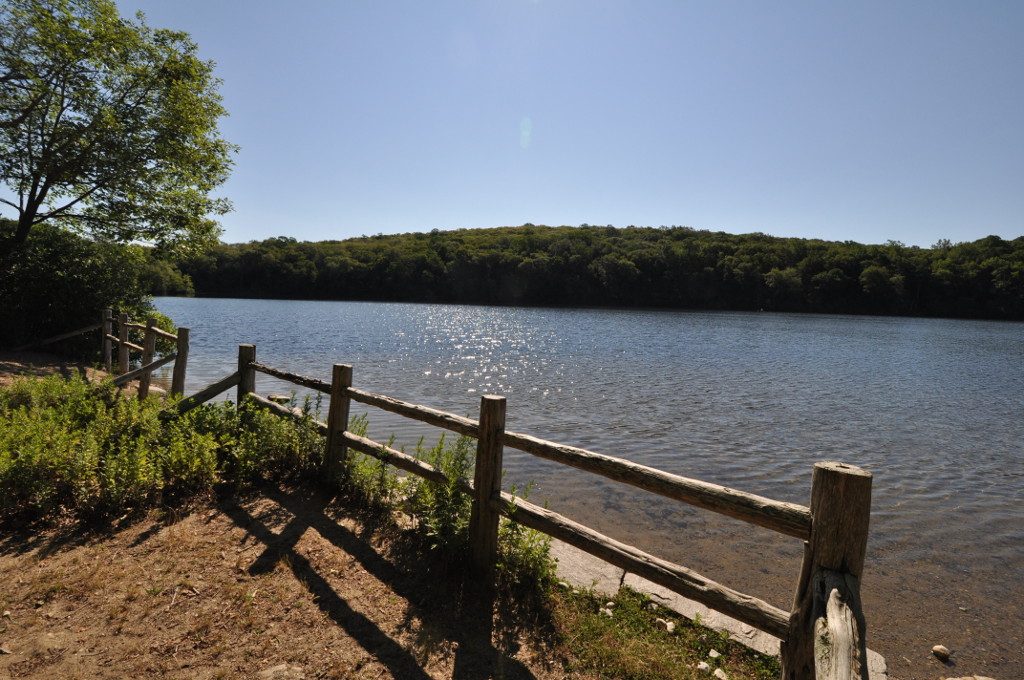
Photo: Morrowlong via Wikimedia Commons, CC BY-SA 4.0. Cropped and resized for display.
Park facts
| Park type | State Park |
|---|---|
| Location | Connecticut, United States |
| Coordinates | 41.4724° N, 73.2071° W |
| Managed by | Connecticut state park system |
Every fact above is taken from the sources listed below; anything no source states is left blank rather than guessed.
About Larkin State Park Trail
Larkin State Park Trail is a Connecticut rail trail that follows the former New York & New England Railroad roadbed across the towns of Southbury, Oxford, Middlebury, and Naugatuck. The trail is 10.3 miles (16.6 km) long; its eastern terminus is at Whittemore Glen State Park, the western at Kettletown Road in Southbury. The trail is open for hiking, biking, horseback riding, and cross-country skiing.
Description from the park's Wikipedia article (CC BY-SA), linked in the sources below.
Planning your visit
What to do
Airports near this park
The airports a visitor would actually fly into, nearest first — each link opens its profile on our sister site AirportProfiles.
- Bradley International Airport (BDL) · Hartford, United States · 41.9 miles away
- LaGuardia Airport (LGA) · New York, United States · 59.2 miles away
- John F. Kennedy International Airport (JFK) · New York, United States · 64.8 miles away
Parks nearby

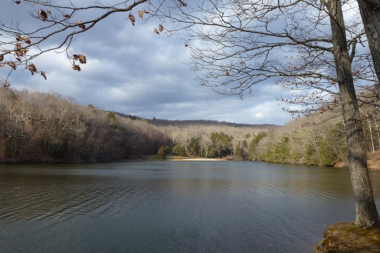
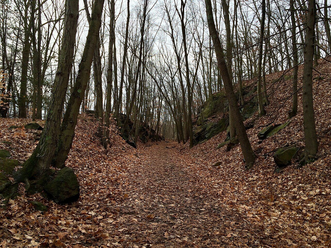

More parks in Connecticut
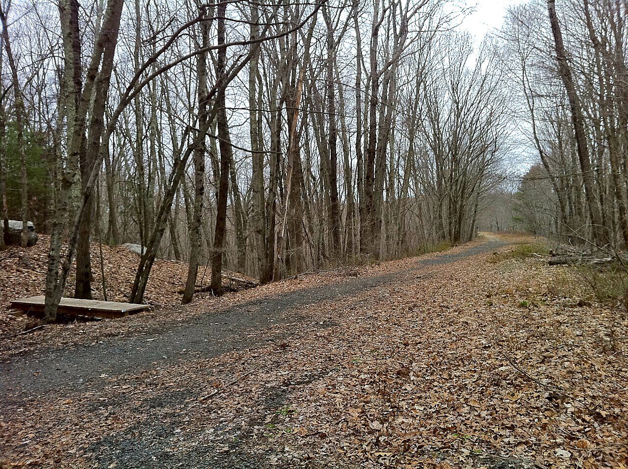
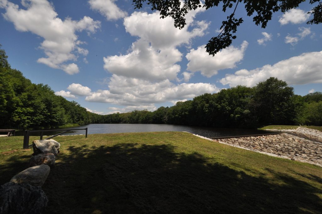





Frequently asked questions
Where is Larkin State Park Trail?
Larkin State Park Trail is in Connecticut, United States (41.4724° N, 73.2071° W).
Sources
- https://en.wikipedia.org/wiki/List_of_Connecticut_state_parks — Wikipedia list of Connecticut state parks — park name.
- https://en.wikipedia.org/wiki/Larkin_State_Park_Trail — Wikipedia article — description (CC BY-SA).