
State Park · Connecticut, United States
Whittemore Glen State Park
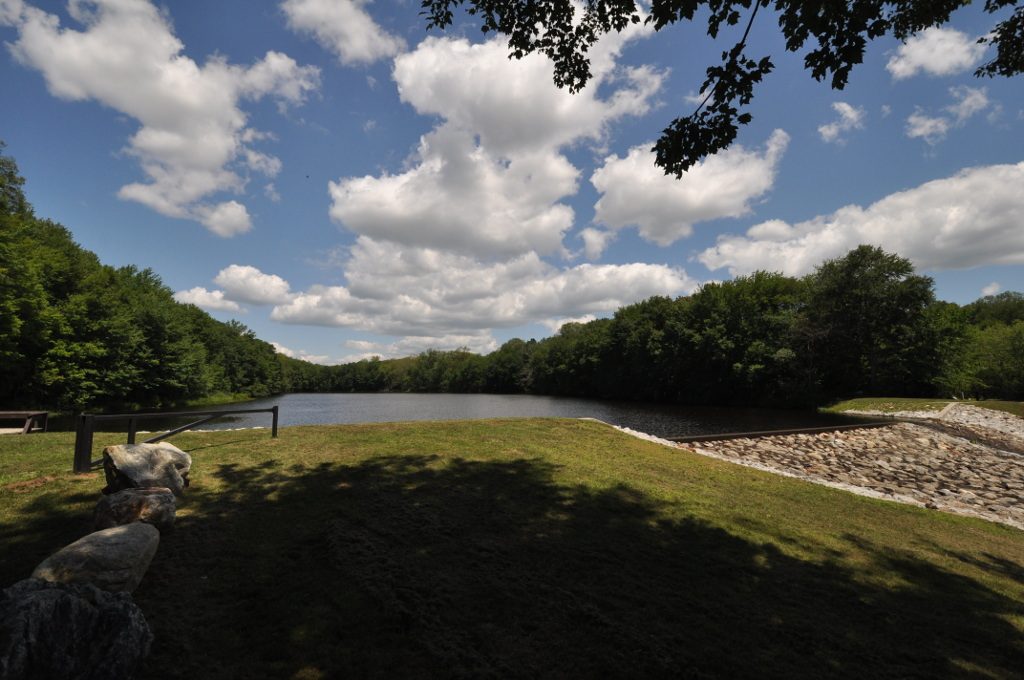
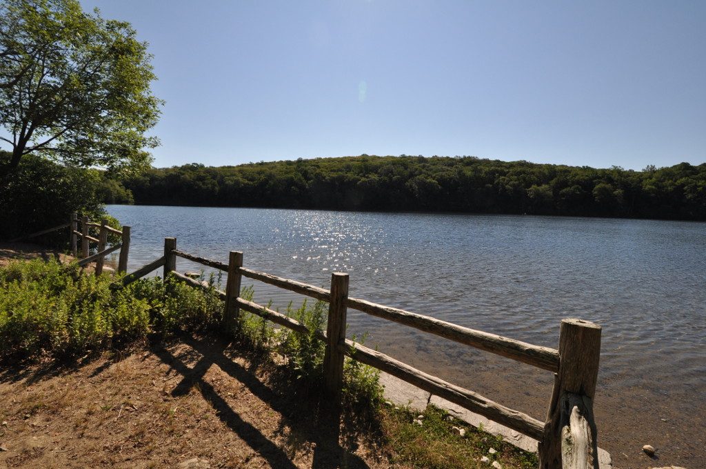
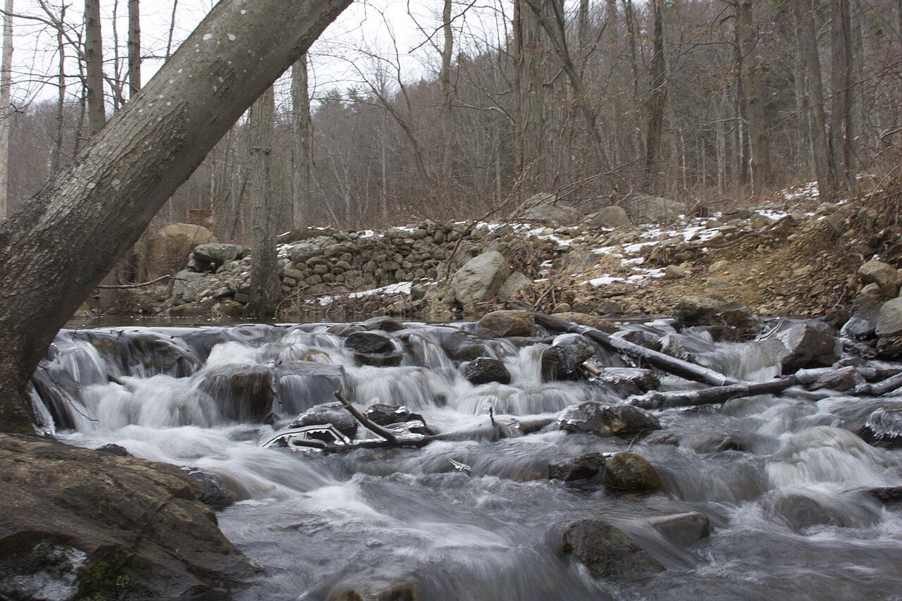
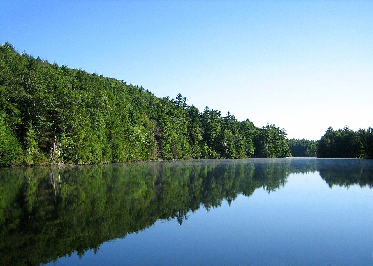
Whittemore Glen State Park is a state park in Connecticut, United States.
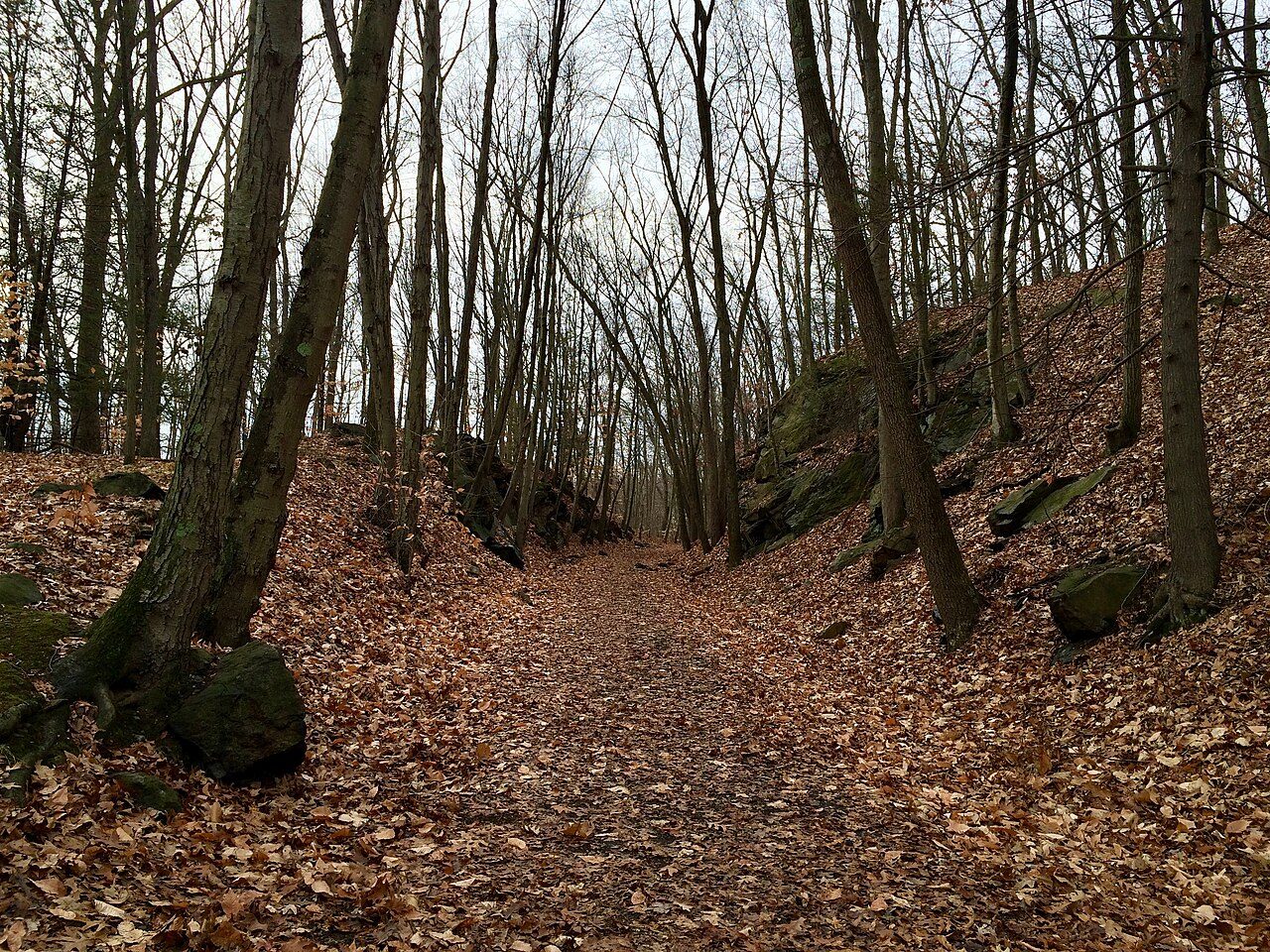
Photo: Morrowlong via Wikimedia Commons, CC BY-SA 4.0. Cropped and resized for display.
Park facts
| Park type | State Park |
|---|---|
| Location | New Haven, Connecticut, United States |
| Coordinates | 41.5117° N, 73.0656° W |
| Managed by | Connecticut state park system |
Every fact above is taken from the sources listed below; anything no source states is left blank rather than guessed.
About Whittemore Glen State Park
Whittemore Glen State Park is an undeveloped public recreation and wilderness area for hiking and horseback riding covering 242 acres (98 ha) mostly within the town of Naugatuck, Connecticut. Sitting outside the southwestern edge of the city of Waterbury, the state park is the eastern terminus of the Larkin State Park Trail. It entered the roles as Connecticut's forty-eighth state park in the 1945–46 edition of the Connecticut Register and Manual. The park is managed by the Connecticut Department of Energy and Environmental Protection.
Description from the park's Wikipedia article (CC BY-SA), linked in the sources below.
Planning your visit
What to do
Airports near this park
The airports a visitor would actually fly into, nearest first — each link opens its profile on our sister site AirportProfiles.
- Bradley International Airport (BDL) · Hartford, United States · 35.3 miles away
- LaGuardia Airport (LGA) · New York, United States · 65.9 miles away
- John F. Kennedy International Airport (JFK) · New York, United States · 70.8 miles away
Parks nearby
More parks in Connecticut

Frequently asked questions
Where is Whittemore Glen State Park?
Whittemore Glen State Park is in Connecticut, United States (41.5117° N, 73.0656° W).
Sources
- https://en.wikipedia.org/wiki/List_of_Connecticut_state_parks — Wikipedia list of Connecticut state parks — park name, county/location, size, year where the table states them.
- https://en.wikipedia.org/wiki/Whittemore_Glen_State_Park — Wikipedia article — description (CC BY-SA).