
National Park · Chile
Puyehue National Park
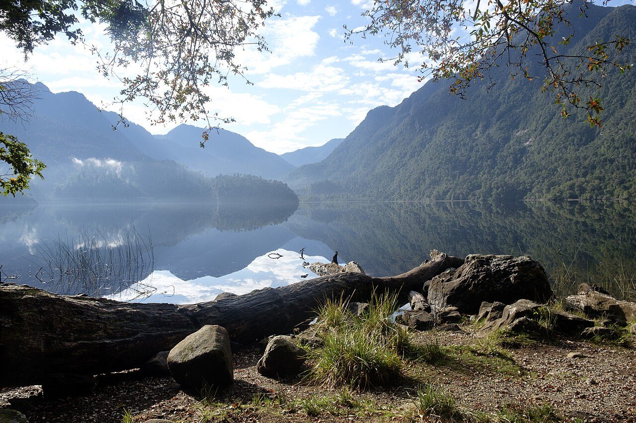
Puyehue National Park is a national park in Chile, covering 263,802 acres (106,757 ha), established in 1941.
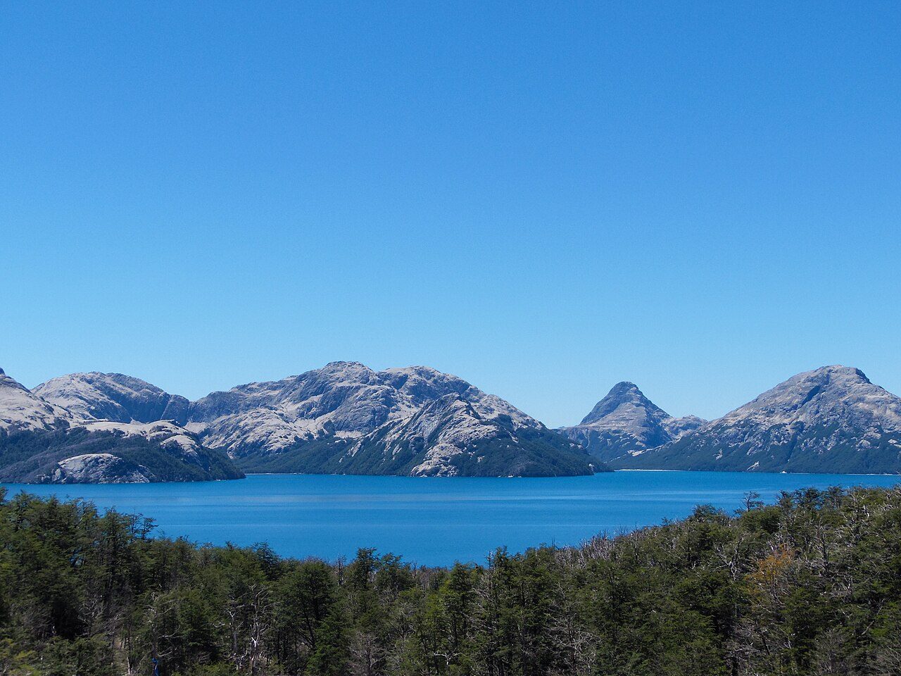
Photo: Natalia Reyes Escobar via Wikimedia Commons, CC BY-SA 4.0. Cropped and resized for display.
Park facts
| Park type | National Park |
|---|---|
| Location | Chile |
| Area | 263,802 acres (106,757 ha) |
| Established | 1941 |
| Coordinates | 40.6489° S, 72.0844° W |
Every fact above is taken from the sources listed below; anything no source states is left blank rather than guessed.
About Puyehue National Park
Puyehue National Park (Spanish pronunciation: [puˈjewe]) is in the Andes mountain range, in Los Ríos and Los Lagos regions of Chile formerly referred to as the 10th region. The park boasts 220,000 acres of natural thermal springs, volcanoes, and evergreen forests, after having been expanded in 1950 and 1981. The park is Chile's most visited national park with some 400,000 people using it each year. Puyehue National Park forms part of the Reserve of Temperate Rainy Forest Biospheres of the Southern Andes. Chile Route 215 passes through the park, which connects with the Argentine Route 231 via Cardenal Antonio Samoré Pass.
Description from the park's Wikipedia article (CC BY-SA), linked in the sources below.
Planning your visit
What to do
Airports near this park
The airports a visitor would actually fly into, nearest first — each link opens its profile on our sister site AirportProfiles.
- Teniente Luis Candelaria International Airport (BRC) · San Carlos de Bariloche, Argentina · 59.6 miles away
- El Tepual International Airport (PMC) · Puerto Montt, Chile · 76.0 miles away
- La Araucanía International Airport (ZCO) · Temuco, Chile · 122.8 miles away
Parks nearby
More parks in Chile

Frequently asked questions
Where is Puyehue National Park?
Puyehue National Park is in Chile (40.6489° S, 72.0844° W).
When was Puyehue National Park established?
Puyehue National Park was established in 1941, per the source listed at the foot of this page.
How big is Puyehue National Park?
Puyehue National Park covers 263,802 acres (106,757 ha).
Sources
- https://www.wikidata.org/wiki/Q634183 — Wikidata (CC0) — name, country, coordinates, area, established year, highest point where stated.
- https://en.wikipedia.org/wiki/Puyehue_National_Park — Wikipedia article — description (CC BY-SA).