
Protected Area · Colombia
Los Nevados National Natural Park
Los Nevados National Natural Park is a protected area in Colombia, covering 151,807 acres (61,434 ha), established in 1973.
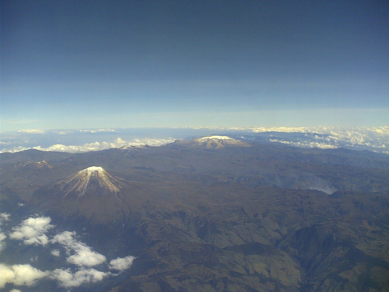
Photo: No machine-readable author provided. Mauricioagudelo~commonswiki assumed (based on copyright claims). via Wikimedia Commons, CC BY-SA 3.0. Cropped and resized for display.
Park facts
| Park type | Protected Area |
|---|---|
| Location | Colombia |
| Area | 151,807 acres (61,434 ha) |
| Established | 1973 |
| Coordinates | 4.8000° N, 75.3667° W |
Every fact above is taken from the sources listed below; anything no source states is left blank rather than guessed.
About Los Nevados National Natural Park
Los Nevados National Natural Park (Spanish: Parque Nacional Natural Los Nevados) is a national park located in the Cordillera Central of the Colombian Andes. The park features Colombia's highest and northernmost active volcanoes including the glacier-capped Nevado del Ruiz, Nevado del Tolima, and Nevado de Santa Isabel, and the formerly glaciated superpáramo peaks (paramillos) of Cisne, Santa Rosa and Quindío. Other elevated structures of volcanic origin within the park are Alto La Piraña, La Olleta, Cerro España, and the Peñas de Caracoli.
Description from the park's Wikipedia article (CC BY-SA), linked in the sources below.
Airports near this park
The airports a visitor would actually fly into, nearest first — each link opens its profile on our sister site AirportProfiles.
- El Dorado International Airport (BOG) · Bogota, Colombia · 84.3 miles away
- Jose Maria Córdova International Airport (MDE) · Medellín, Colombia · 94.4 miles away
- Alfonso Bonilla Aragon International Airport (CLO) · Cali, Colombia · 111.5 miles away
Parks nearby
Tatamá National Natural Park
Las Hermosas National Natural Park
Las Orquídeas National Natural Park
Uramba Bahía Málaga National Natural Park
Yariguíes National Park
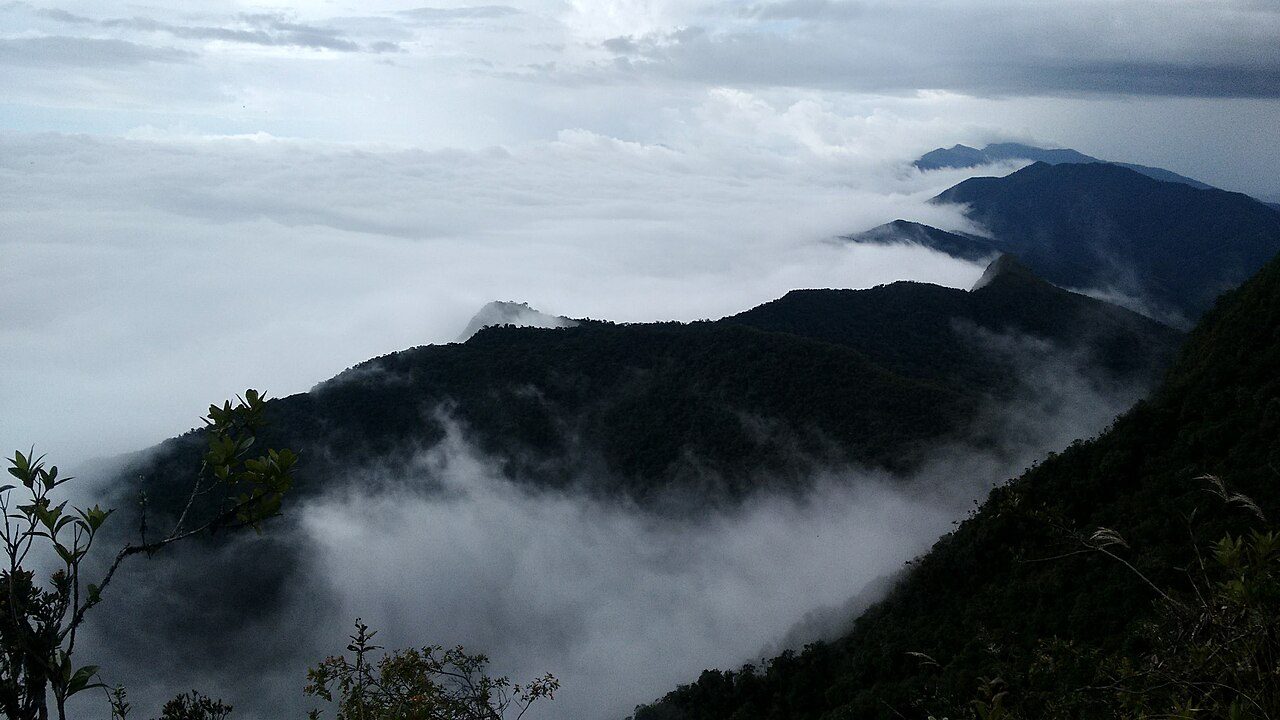
Munchique National Natural Park
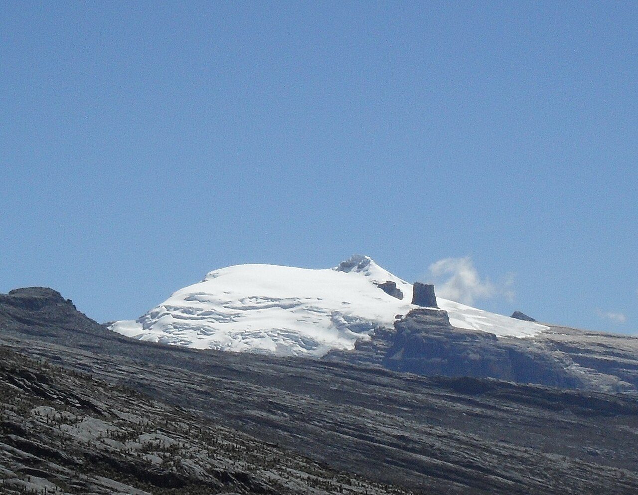
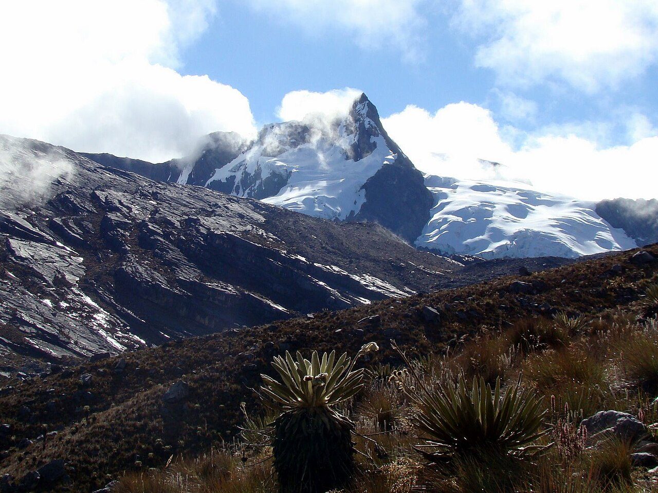
More parks in Colombia

Frequently asked questions
Where is Los Nevados National Natural Park?
Los Nevados National Natural Park is in Colombia (4.8000° N, 75.3667° W).
When was Los Nevados National Natural Park established?
Los Nevados National Natural Park was established in 1973, per the source listed at the foot of this page.
How big is Los Nevados National Natural Park?
Los Nevados National Natural Park covers 151,807 acres (61,434 ha).
Sources
- https://www.wikidata.org/wiki/Q1094889 — Wikidata (CC0) — name, country, coordinates, area, established year, highest point where stated.
- https://en.wikipedia.org/wiki/Los_Nevados_National_Natural_Park — Wikipedia article — description (CC BY-SA).