
Protected Area · Colombia
Tayrona National Natural Park
Tayrona National Natural Park is a protected area in Colombia, covering 55,599 acres (22,500 ha), established in 1969.
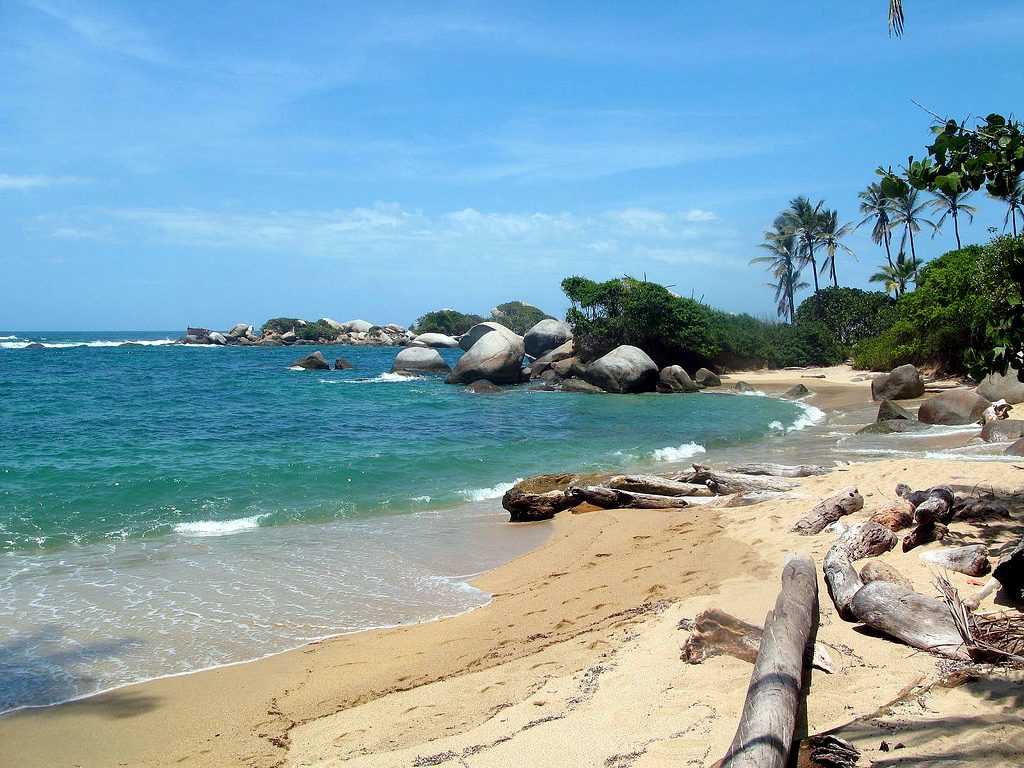
Photo: Ben Bowes via Wikimedia Commons, CC BY 2.0. Cropped and resized for display.
Park facts
| Park type | Protected Area |
|---|---|
| Location | Colombia |
| Area | 55,599 acres (22,500 ha) |
| Established | 1969 |
| Coordinates | 11.3100° N, 73.9970° W |
Every fact above is taken from the sources listed below; anything no source states is left blank rather than guessed.
About Tayrona National Natural Park
The Tayrona National Natural Park (Spanish: Parque Nacional Natural Tayrona) is a protected area in the Colombian northern Caribbean region and within the jurisdiction of the city of Santa Marta, 34 kilometres (21 mi) from the city centre. The park presents a biodiversity endemic to the area of the Sierra Nevada de Santa Marta mountain range, featuring a variety of climates (mountain climate) and geography that ranges from arid sea level to 900 meters above sea level. The park covers approximately 30 square kilometres (12 sq mi) of maritime area in the Caribbean Sea and approximately 150 square kilometres (58 sq mi) of land.
Description from the park's Wikipedia article (CC BY-SA), linked in the sources below.
Airports near this park
The airports a visitor would actually fly into, nearest first — each link opens its profile on our sister site AirportProfiles.
- Ernesto Cortissoz International Airport (BAQ) · Barranquilla, Colombia · 60.6 miles away
- Rafael Nuñez International Airport (CTG) · Cartagena, Colombia · 119.1 miles away
Parks nearby
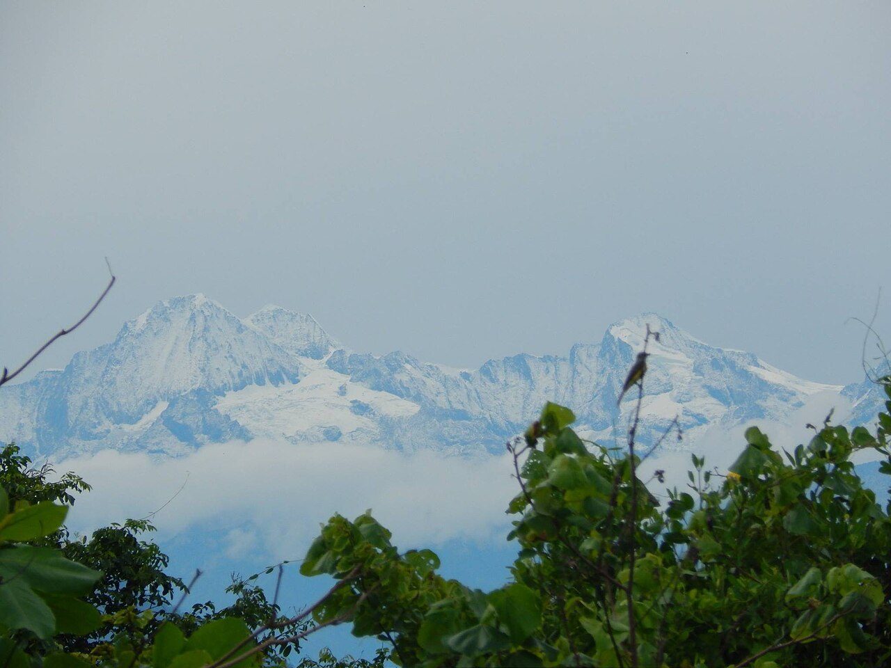
Sierra Nevada de Santa Marta
Bahía Portete – Kaurrele National Natural Park
Rosario and San Bernardo Corals National Natural Park
Ciénagas de Juan Manuel National Park
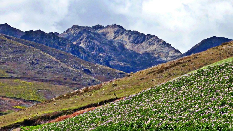
Sierra La Culata National Park
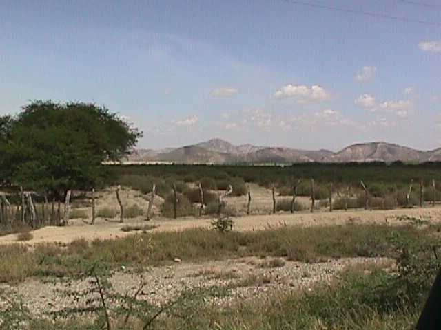
Cerro Saroche National Park
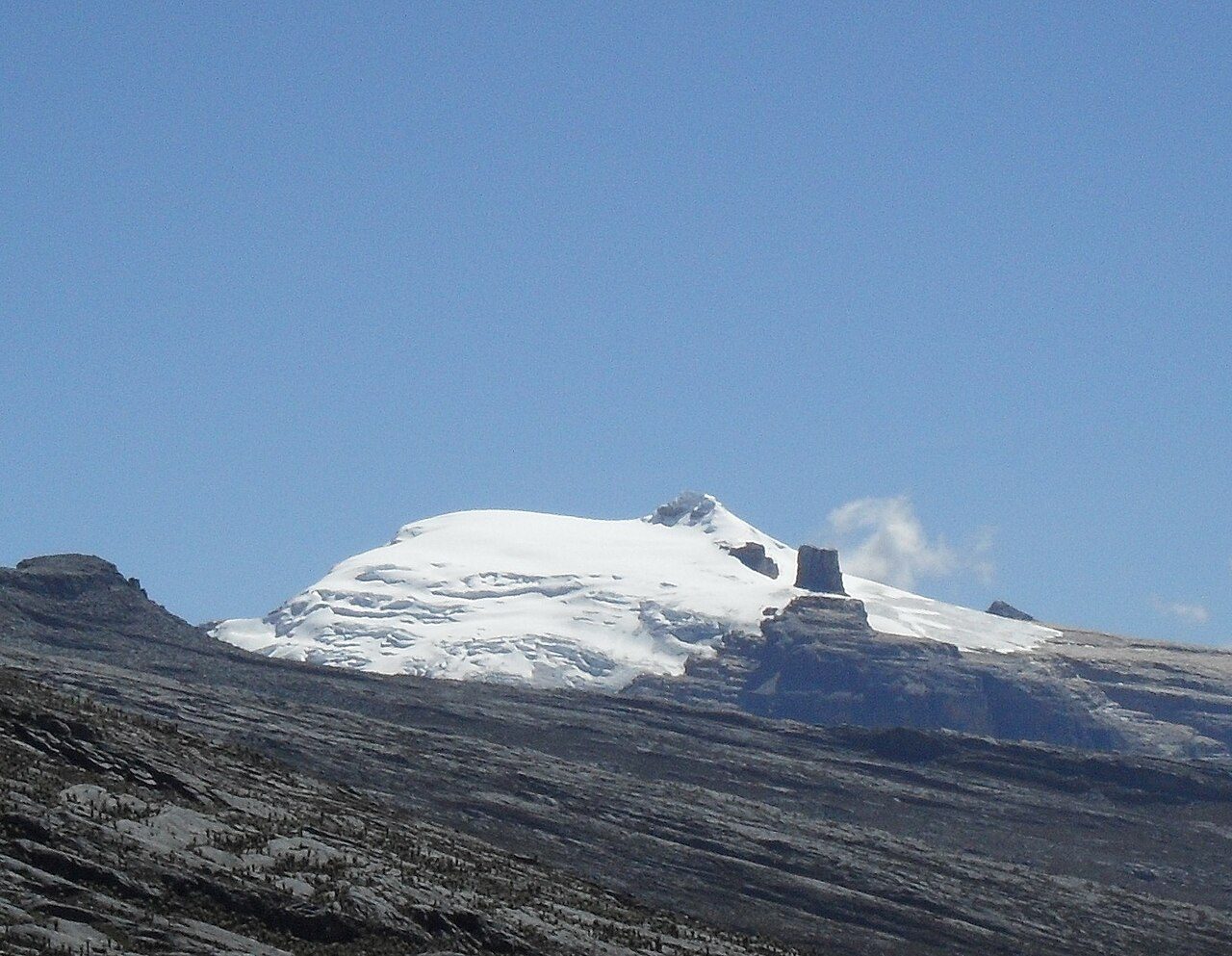
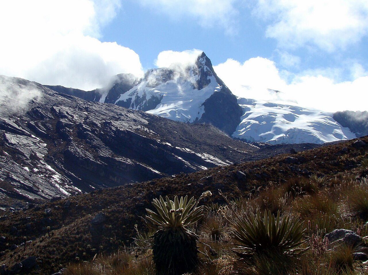
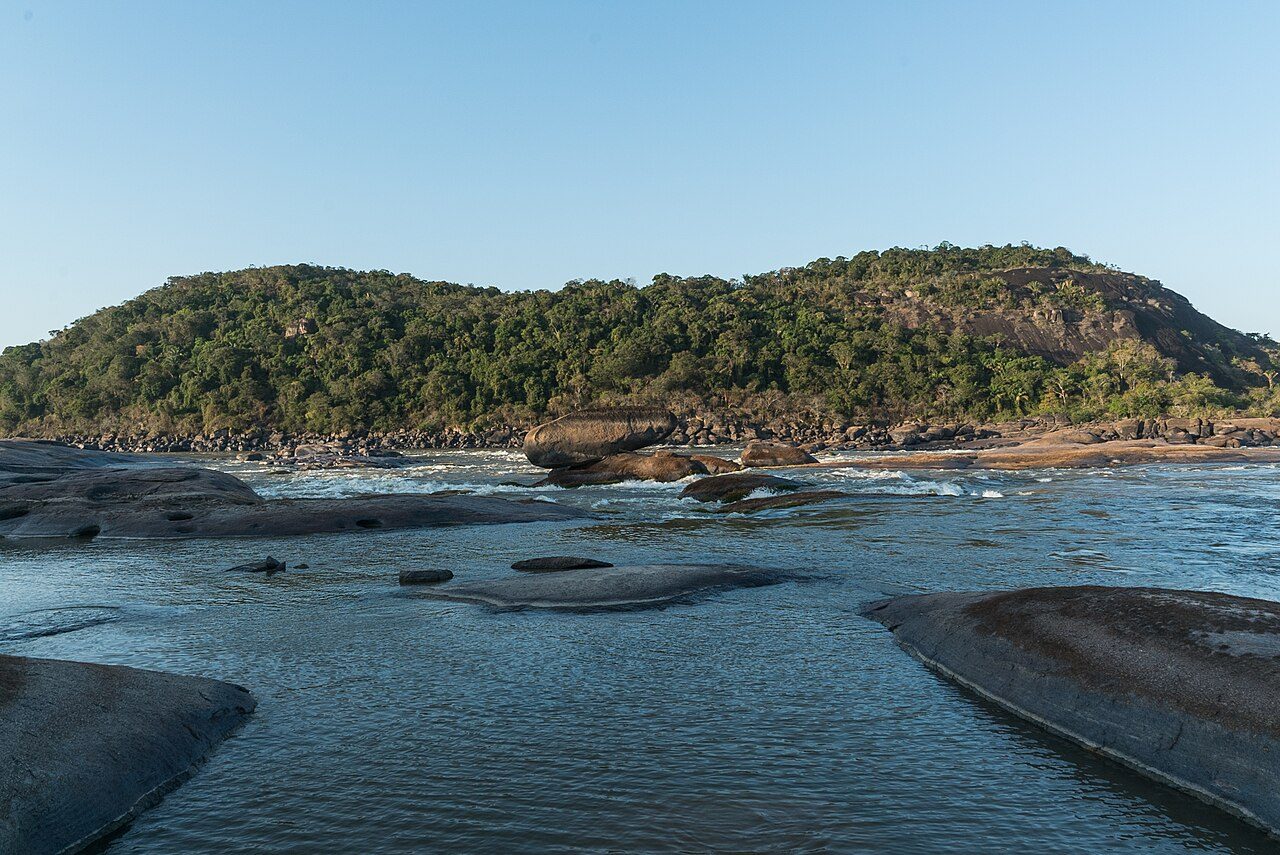
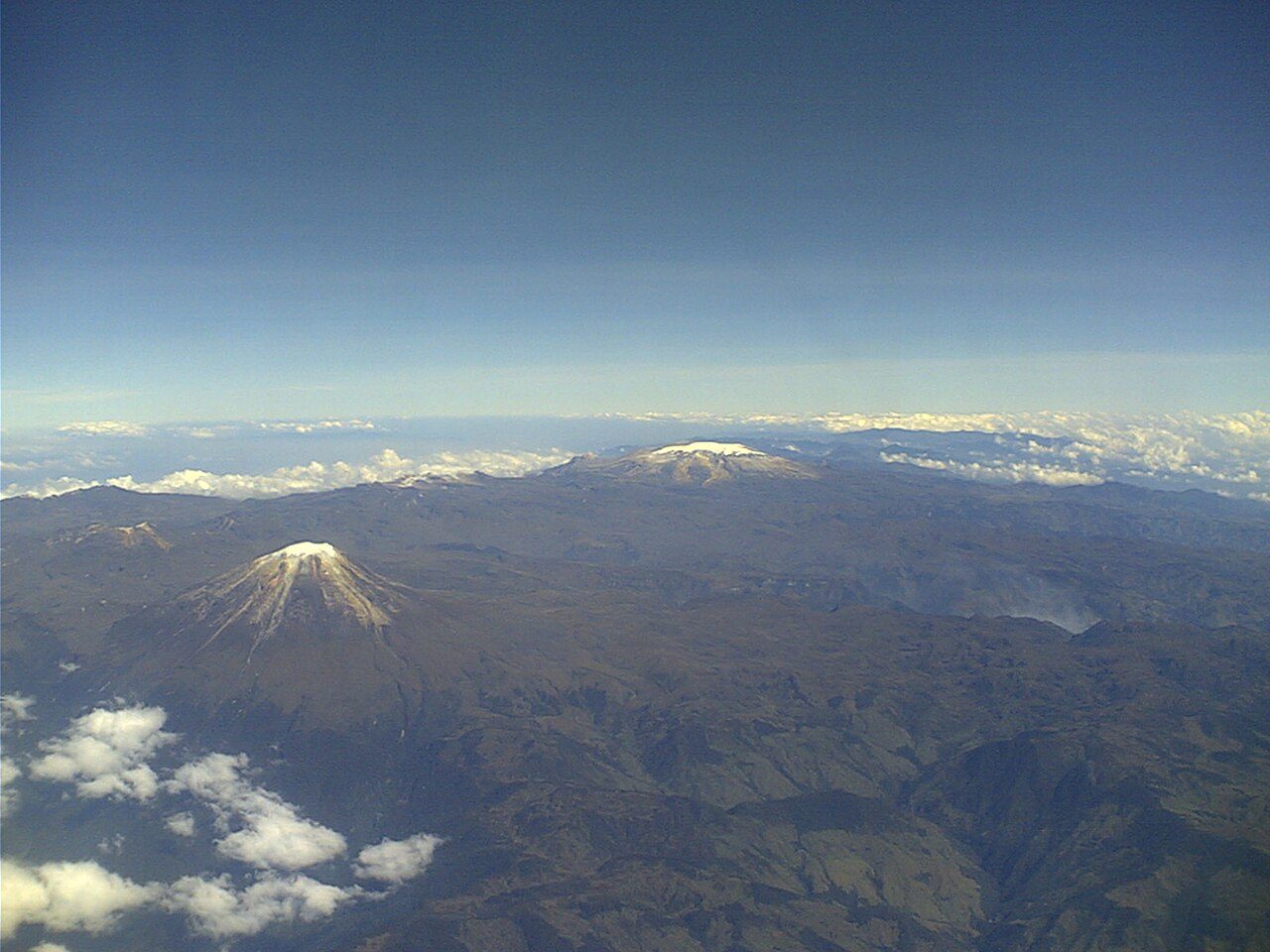
More parks in Colombia

Frequently asked questions
Where is Tayrona National Natural Park?
Tayrona National Natural Park is in Colombia (11.3100° N, 73.9970° W).
When was Tayrona National Natural Park established?
Tayrona National Natural Park was established in 1969, per the source listed at the foot of this page.
How big is Tayrona National Natural Park?
Tayrona National Natural Park covers 55,599 acres (22,500 ha).
Sources
- https://www.wikidata.org/wiki/Q1225209 — Wikidata (CC0) — name, country, coordinates, area, established year, highest point where stated.
- https://en.wikipedia.org/wiki/Tayrona_National_Natural_Park — Wikipedia article — description (CC BY-SA).