
National Park · Zambia
Luambe National Park
Luambe National Park is a national park in Zambia, covering 89,205 acres (36,100 ha).
National Park · Zambia
No freely licensed photograph of this park is in our library yet — rather than borrow a picture of somewhere else, this profile leads with its verified facts.
Park facts
| Park type | National Park |
|---|---|
| Location | Zambia |
| Area | 89,205 acres (36,100 ha) |
| Coordinates | 12.5000° S, 32.3333° E |
Every fact above is taken from the sources listed below; anything no source states is left blank rather than guessed.
About Luambe National Park
Luambe National Park is located in the Eastern Province of Zambia. The park is situated north-east of the famous South Luangwa National Park, and south of the North Luangwa National Park. Like its neighbours, it is located in the Luangwa River rift valley. The small park (300 km2) lies on the flat valley bottom, next to the river. The ecoregion at the site is Zambezian and Mopane woodlands, a woodland savanna type more tolerant of the hotter drier conditions at the bottom of the valley than the Miombo woodland savanna which covers most of the country. The elevation is 500–700 metres above sea level.
Description from the park's Wikipedia article (CC BY-SA), linked in the sources below.
Airports near this park
The airports a visitor would actually fly into, nearest first — each link opens its profile on our sister site AirportProfiles.
- Mfuwe International Airport (MFU) · Mfuwe, Zambia · 58.9 miles away
- Kamuzu International Airport (LLW) · Lumbadzi, Malawi · 132.0 miles away
Parks nearby
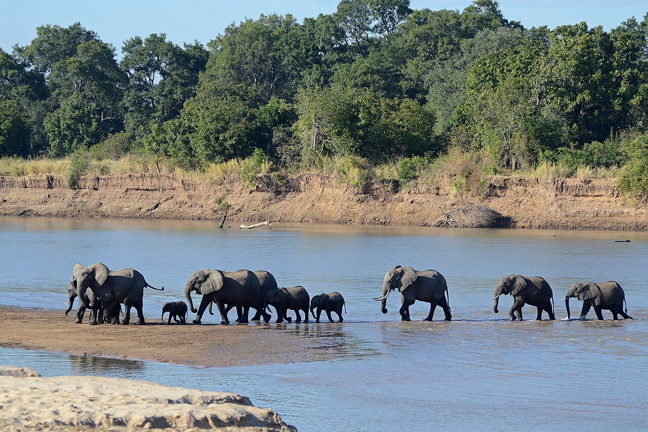
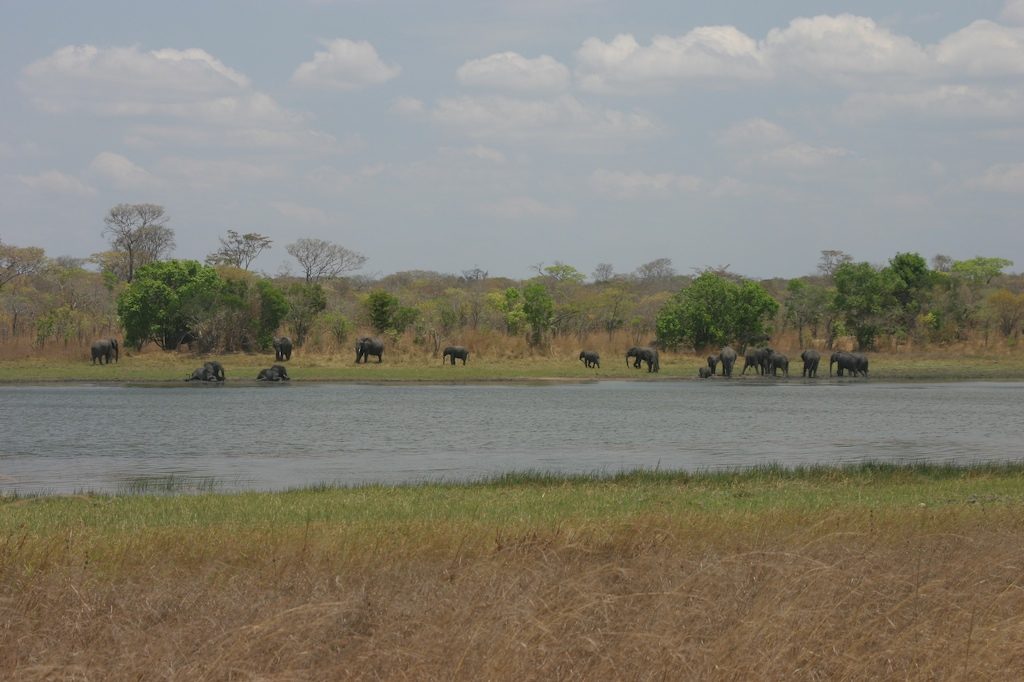
More parks in Zambia
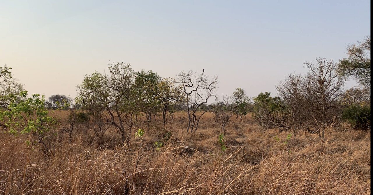
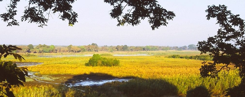
Frequently asked questions
Where is Luambe National Park?
Luambe National Park is in Zambia (12.5000° S, 32.3333° E).
How big is Luambe National Park?
Luambe National Park covers 89,205 acres (36,100 ha).
Sources
- https://www.wikidata.org/wiki/Q503525 — Wikidata (CC0) — name, country, coordinates, area, established year, highest point where stated.
- https://en.wikipedia.org/wiki/Luambe_National_Park — Wikipedia article — description (CC BY-SA).