
National Park · Zambia
South Luangwa National Park
South Luangwa National Park is a national park in Zambia, covering 2,236,300 acres (904,999 ha), established in 1938.
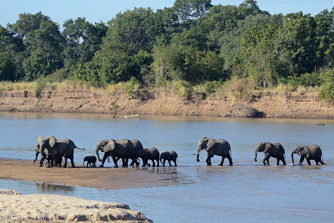
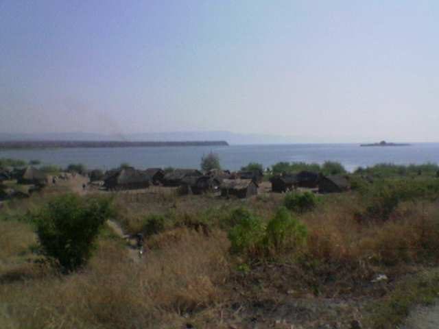
Photo: Geoff Gallice via Wikimedia Commons, CC BY 2.0. Cropped and resized for display.
Park facts
| Park type | National Park |
|---|---|
| Location | Zambia |
| Area | 2,236,300 acres (904,999 ha) |
| Established | 1938 |
| Coordinates | 13.0000° S, 31.5000° E |
Every fact above is taken from the sources listed below; anything no source states is left blank rather than guessed.
About South Luangwa National Park
South Luangwa National Park is a national park in eastern Zambia that was founded as a game reserve in 1938 and became a national park in 1972. It covers 9,050 km2 (3,490 sq mi) in the valley of the Luangwa River, which forms its eastern boundary in the Eastern Province of Zambia. It is bordered to the west by a steep escarpment, the Muchinga Escarpment in Muchinga and Central Provinces. The Luangwa Valley lies at the end of the East African Rift valley. The meandering Luangwa River and its lagoons support over 400 bird species and more than 60 mammal species including Rhodesian giraffe, African bush elephant and African buffalo.
Description from the park's Wikipedia article (CC BY-SA), linked in the sources below.
Airports near this park
The airports a visitor would actually fly into, nearest first — each link opens its profile on our sister site AirportProfiles.
- Mfuwe International Airport (MFU) · Mfuwe, Zambia · 34.4 miles away
Parks nearby

More parks in Zambia
Kafue National Park
Kasanka National Park
Nsumbu National Park
Blue Lagoon National Park
Isangano National Park
Lavushi Manda National Park
Liuwa Plain National Park
Lochinvar National Park
Frequently asked questions
Where is South Luangwa National Park?
South Luangwa National Park is in Zambia (13.0000° S, 31.5000° E).
When was South Luangwa National Park established?
South Luangwa National Park was established in 1938, per the source listed at the foot of this page.
How big is South Luangwa National Park?
South Luangwa National Park covers 2,236,300 acres (904,999 ha).
Sources
- https://www.wikidata.org/wiki/Q1973215 — Wikidata (CC0) — name, country, coordinates, area, established year, highest point where stated.
- https://en.wikipedia.org/wiki/South_Luangwa_National_Park — Wikipedia article — description (CC BY-SA).