
State Park · California, United States
Mount Tamalpais State Park
Mount Tamalpais State Park is a state park in California, United States, established in 1963.
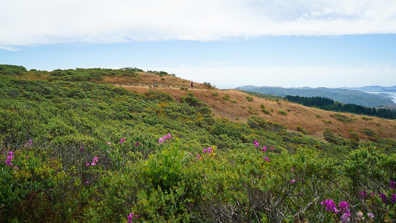
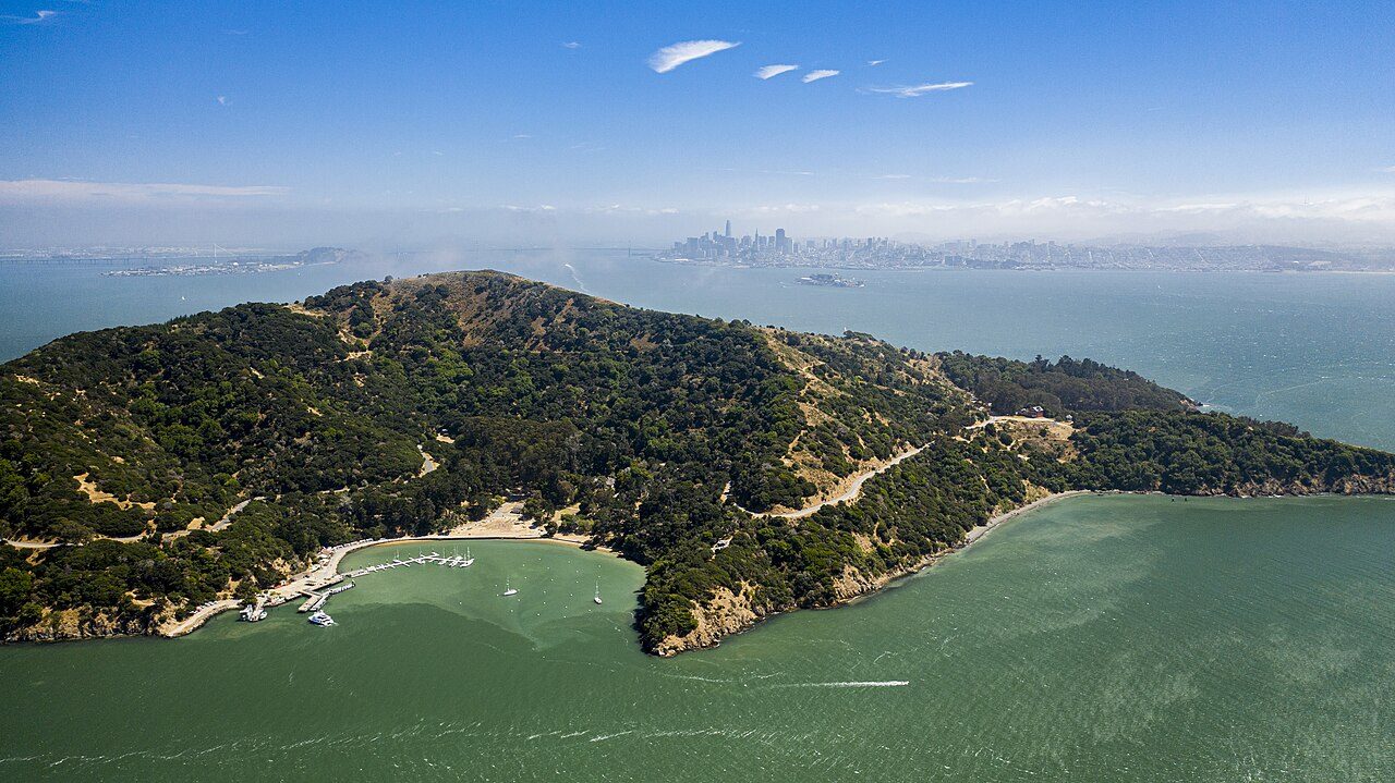
Photo: Oscar Vasquez / California Department of Parks and Recreation via Wikimedia Commons, Public domain. Cropped and resized for display.
Park facts
| Park type | State Park |
|---|---|
| Location | Marin, California, United States |
| Established | 1963 |
| Coordinates | 37.9239° N, 122.5970° W |
| Managed by | California state park system |
Every fact above is taken from the sources listed below; anything no source states is left blank rather than guessed.
About Mount Tamalpais State Park
Mount Tamalpais State Park is a California state park, located in Marin County, California. The primary feature of the park is the 2,571 feet (784 m) Mount Tamalpais. The park contains mostly redwood and oak forests. The mountain itself covers around 25,000 acres (100 km2). There are about 60 miles (97 km) of hiking trails, which are connected to a larger, 200-mile (320 km) network of trails in neighboring public lands. The park received 564,000 visitors as of 2003. Muir Woods National Monument is surrounded by the state park.
Description from the park's Wikipedia article (CC BY-SA), linked in the sources below.
Planning your visit
What to do
Airports near this park
The airports a visitor would actually fly into, nearest first — each link opens its profile on our sister site AirportProfiles.
- San Francisco International Airport (SFO) · San Francisco, United States · 24.3 miles away
- Oakland San Francisco Bay Airport (OAK) · Oakland, United States · 24.9 miles away
- Mineta San Jose International Airport (SJC) · San Jose, United States · 53.3 miles away
Parks nearby
More parks in California

Frequently asked questions
Where is Mount Tamalpais State Park?
Mount Tamalpais State Park is in California, United States (37.9239° N, 122.5970° W).
When was Mount Tamalpais State Park established?
Mount Tamalpais State Park was established in 1963, per the source listed at the foot of this page.
Sources
- https://en.wikipedia.org/wiki/List_of_California_state_parks — Wikipedia list of California state parks — park name, county/location, size, year where the table states them.
- https://en.wikipedia.org/wiki/Mount_Tamalpais_State_Park — Wikipedia article — description (CC BY-SA).