
State Park · California, United States
Pacheco State Park
Pacheco State Park is a state park in California, United States, established in 1997.
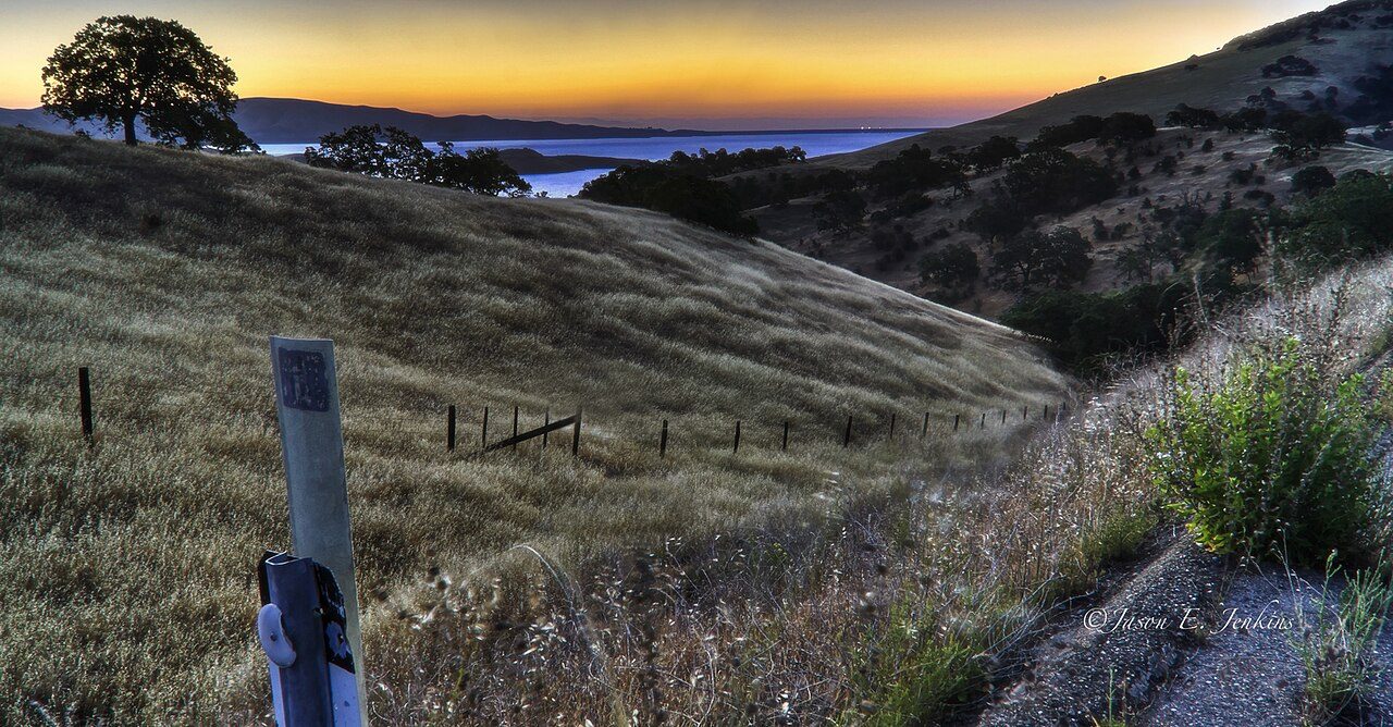
Photo: Jason Jenkins via Wikimedia Commons, CC BY-SA 2.0. Cropped and resized for display.
Park facts
| Park type | State Park |
|---|---|
| Location | Merced and Santa Clara, California, United States |
| Established | 1997 |
| Coordinates | 37.0442° N, 121.1980° W |
| Managed by | California state park system |
Every fact above is taken from the sources listed below; anything no source states is left blank rather than guessed.
About Pacheco State Park
Pacheco State Park is a California State Park to the south of Pacheco Pass in the Diablo Range, located mostly in western Merced County, California but extending into southeastern Santa Clara County and near Hollister in San Benito County. Located 24 miles (39 km) west of Los Banos, California and 20 miles (32 km) east of Gilroy, the park entrance is on Dinosaur Point Road, a short distance from California State Route 152 near Pacheco Pass. The park contains 6,890 acres (2,790 ha), though only the western 2,600 acres (1,100 ha) to the west are open to the public.
Description from the park's Wikipedia article (CC BY-SA), linked in the sources below.
Planning your visit
Getting there
| Nearest town | Los Banos, California |
|---|---|
| Getting there | about 24 miles west of Los Banos |
Airports near this park
The airports a visitor would actually fly into, nearest first — each link opens its profile on our sister site AirportProfiles.
- Mineta San Jose International Airport (SJC) · San Jose, United States · 45.9 miles away
- Oakland San Francisco Bay Airport (OAK) · Oakland, United States · 73.0 miles away
- San Francisco International Airport (SFO) · San Francisco, United States · 75.9 miles away
Parks nearby
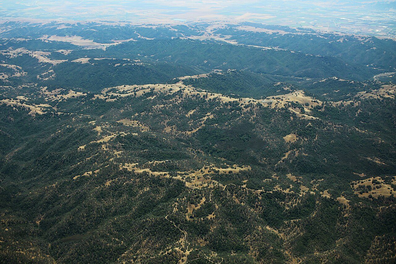
Henry W. Coe State Park
San Juan Bautista State Historic Park
Great Valley Grasslands State Park
George J. Hatfield State Recreation Area
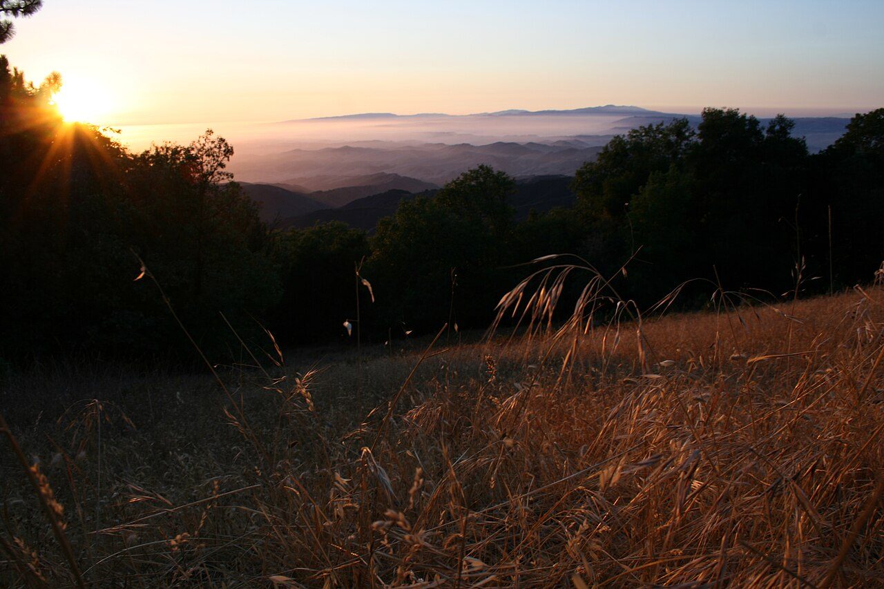
Fremont Peak State Park
Zmudowski State Beach
More parks in California

Frequently asked questions
Where is Pacheco State Park?
Pacheco State Park is in California, United States (37.0442° N, 121.1980° W).
When was Pacheco State Park established?
Pacheco State Park was established in 1997, per the source listed at the foot of this page.
How do I get to Pacheco State Park?
The nearest town is Los Banos, California. about 24 miles west of Los Banos.
Sources
- https://en.wikipedia.org/wiki/List_of_California_state_parks — Wikipedia list of California state parks — park name, county/location, size, year where the table states them.
- https://en.wikipedia.org/wiki/Pacheco_State_Park — Wikipedia article — description (CC BY-SA).