
State Park · Georgia, United States
Panola Mountain State Park
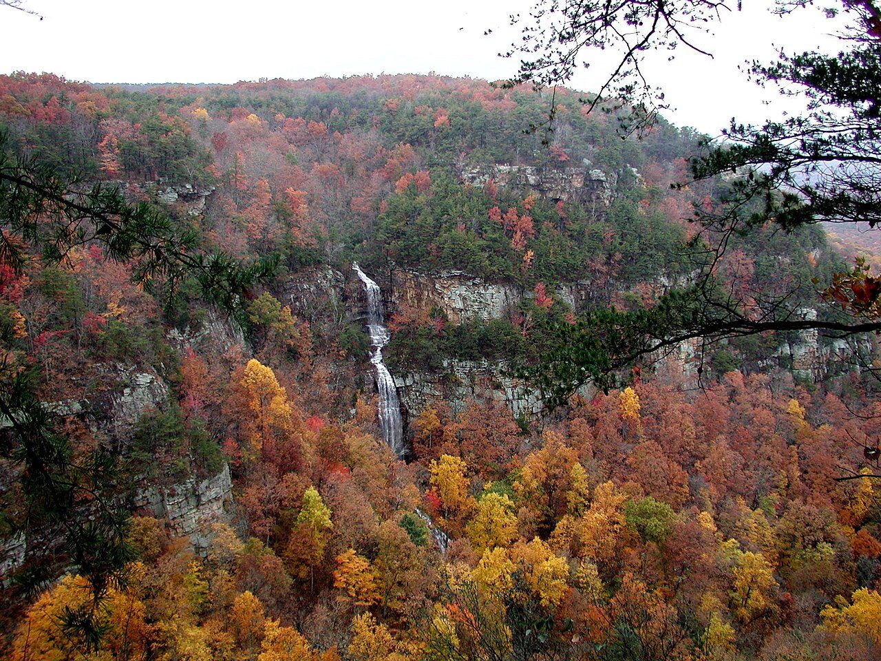
Panola Mountain State Park is a state park in Georgia, United States.
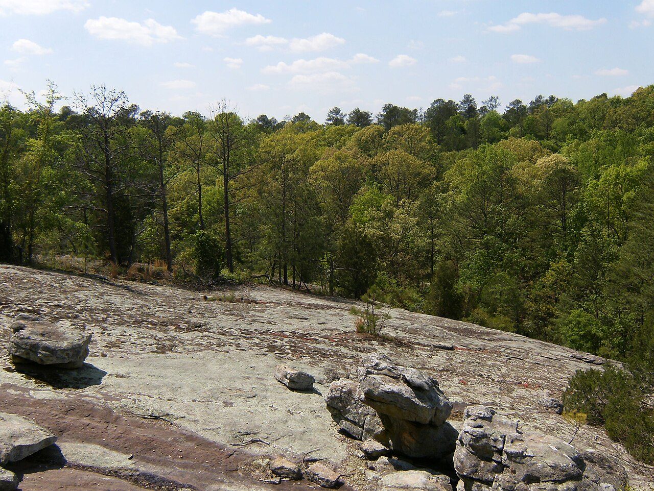
Photo: Jflo23 via Wikimedia Commons, CC BY-SA 3.0. Cropped and resized for display.
Park facts
| Park type | State Park |
|---|---|
| Location | Rockdale, Georgia, United States |
| Coordinates | 33.6353° N, 84.1703° W |
| Managed by | Georgia state park system |
Every fact above is taken from the sources listed below; anything no source states is left blank rather than guessed.
About Panola Mountain State Park
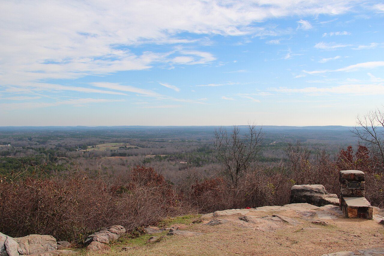
Panola Mountain is a 100-acre (40 ha) granite monadnock in Rockdale County, Georgia. The peak is 946 feet (288 m) above sea level, rising 260 feet (79 m) above the South River. The South River marks the boundary between Henry, Rockdale, and DeKalb counties. Due to its delicate ecological features, Panola Mountain was designated a National Natural Landmark on December 16, 1980.
Description from the park's Wikipedia article (CC BY-SA), linked in the sources below.
Airports near this park
The airports a visitor would actually fly into, nearest first — each link opens its profile on our sister site AirportProfiles.
- Hartsfield Jackson Atlanta International Airport (ATL) · Atlanta, United States · 14.8 miles away
- Birmingham-Shuttlesworth International Airport (BHM) · Birmingham, United States · 148.6 miles away
Parks nearby

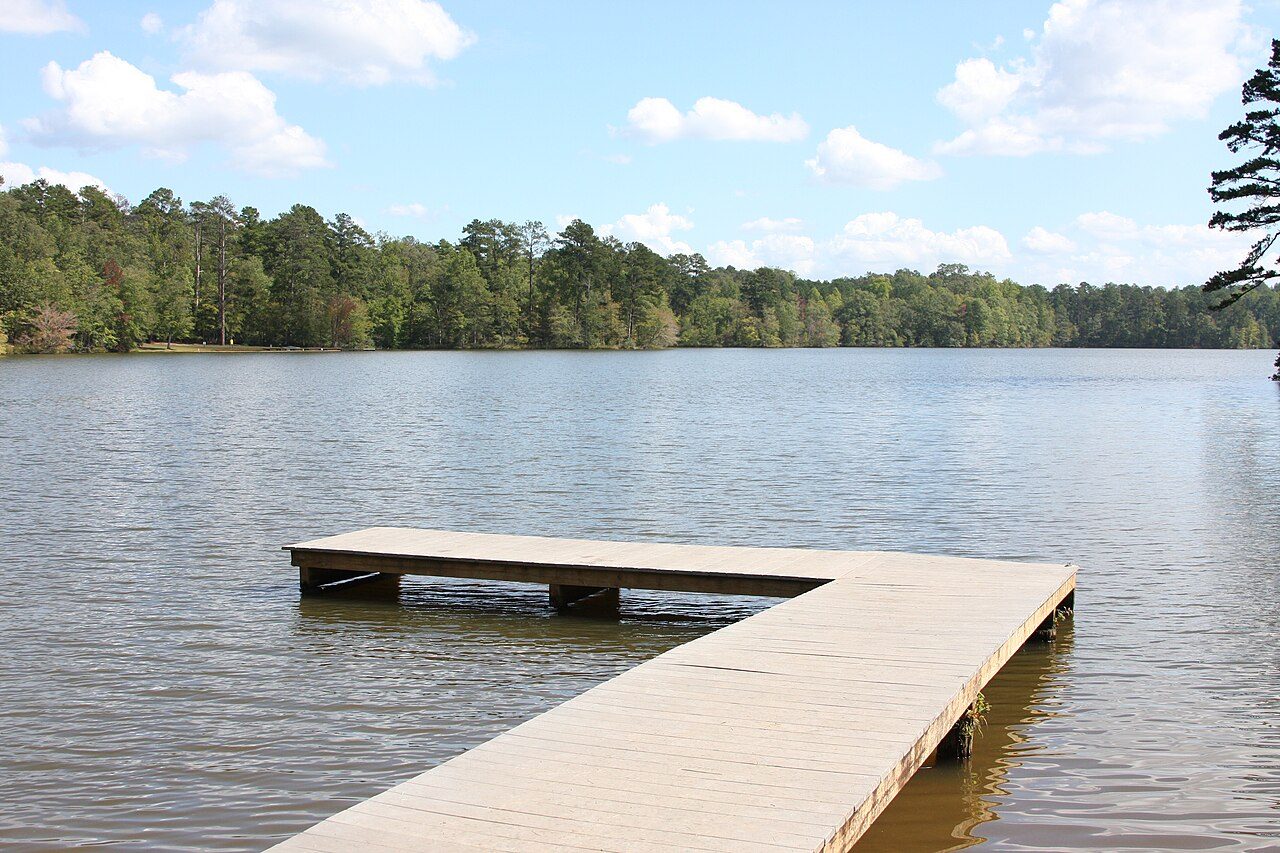
More parks in Georgia
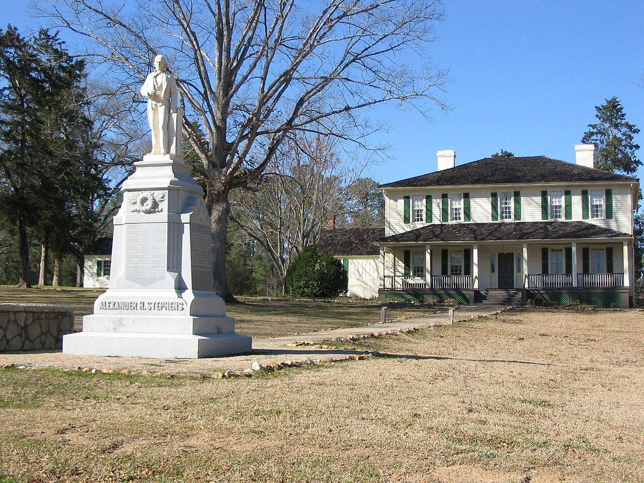
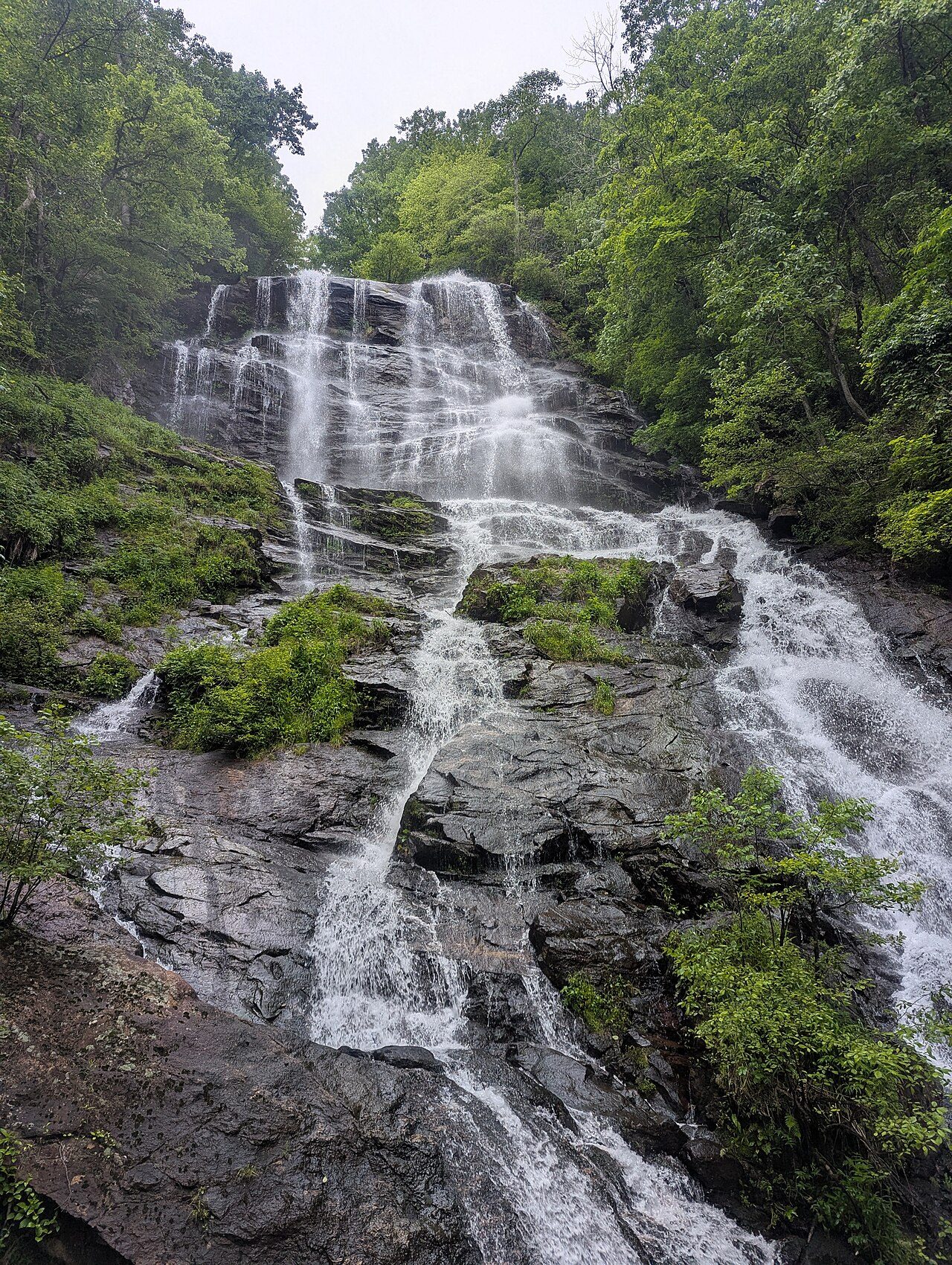
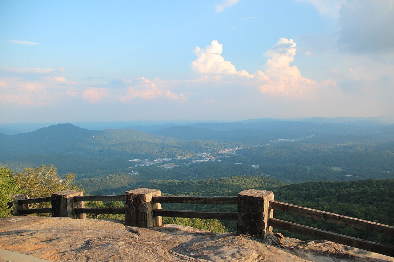




Frequently asked questions
Where is Panola Mountain State Park?
Panola Mountain State Park is in Georgia, United States (33.6353° N, 84.1703° W).
Sources
- https://en.wikipedia.org/wiki/List_of_Georgia_state_parks — Wikipedia list of Georgia state parks — park name, county/location, size, year where the table states them.
- https://en.wikipedia.org/wiki/Panola_Mountain — Wikipedia article — description (CC BY-SA).