
National Park · Cambodia
Phnom Kulen National Park
Phnom Kulen National Park is a national park in Cambodia, covering 92,664 acres (37,500 ha), established in 1993.
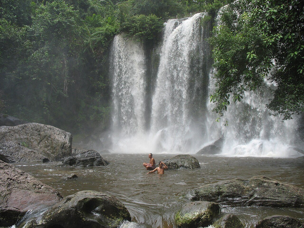
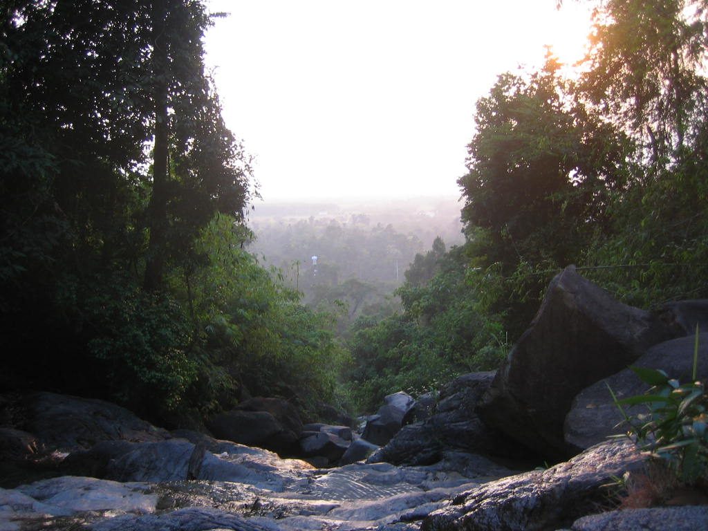
Photo: Narith5 via Wikimedia Commons, CC BY 2.0. Cropped and resized for display.
Park facts
| Park type | National Park |
|---|---|
| Location | Cambodia |
| Area | 92,664 acres (37,500 ha) |
| Established | 1993 |
| Coordinates | 13.6062° N, 104.0957° E |
Every fact above is taken from the sources listed below; anything no source states is left blank rather than guessed.
About Phnom Kulen National Park
The Phnom Kulen National Park (Khmer: ឧទ្យានជាតិភ្នំគូលែន) is a national park in Cambodia, located in the Phnom Kulen mountain massif in Siem Reap Province. It was established in 1993 and covers 373.76 km2 (144.31 sq mi). Its official name is Jayavarman-Norodom Phnom Kulen National Park (Khmer: ឧទ្យានជាតិព្រះជ័យវរ្ម័ន-នរោត្តម ភ្នំគូលែន). During the Khmer Empire the area was known as Mahendraparvata (the mountain of Great Indra) and was the place where King Jayavarman II had himself declared chakravartin (King of Kings), an act which is considered the foundation of the empire.
Description from the park's Wikipedia article (CC BY-SA), linked in the sources below.
Airports near this park
The airports a visitor would actually fly into, nearest first — each link opens its profile on our sister site AirportProfiles.
- Siem Reap-Angkor International Airport (SAI) · Siem Reap, Cambodia · 18.5 miles away
Parks nearby
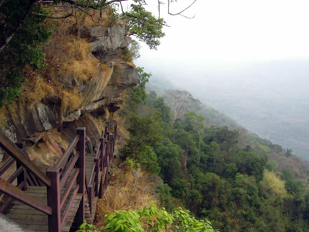
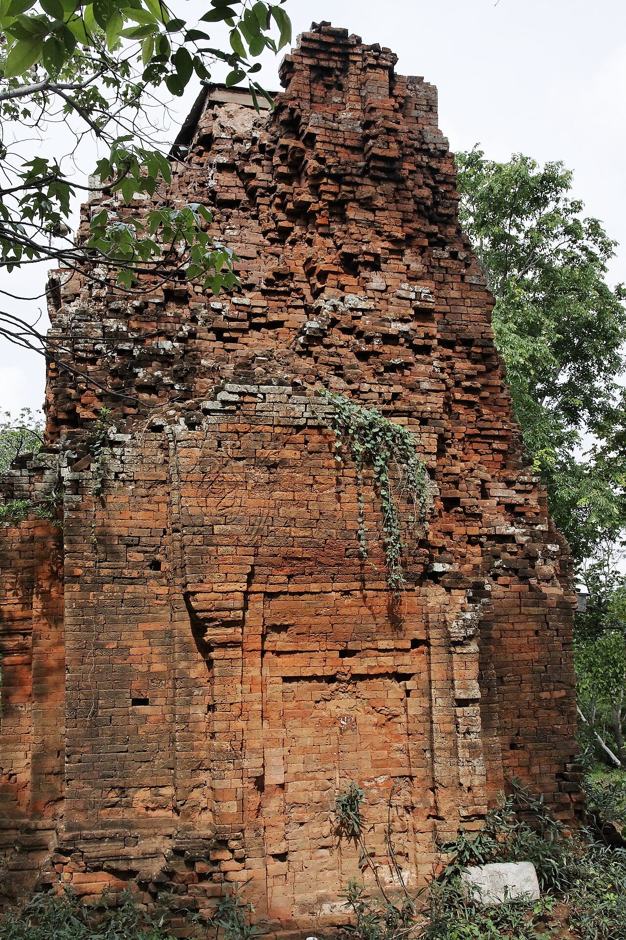
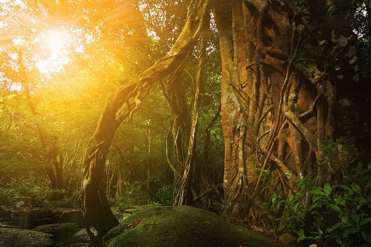
More parks in Cambodia

Frequently asked questions
Where is Phnom Kulen National Park?
Phnom Kulen National Park is in Cambodia (13.6062° N, 104.0957° E).
When was Phnom Kulen National Park established?
Phnom Kulen National Park was established in 1993, per the source listed at the foot of this page.
How big is Phnom Kulen National Park?
Phnom Kulen National Park covers 92,664 acres (37,500 ha).
Sources
- https://www.wikidata.org/wiki/Q510882 — Wikidata (CC0) — name, country, coordinates, area, established year, highest point where stated.
- https://en.wikipedia.org/wiki/Phnom_Kulen_National_Park — Wikipedia article — description (CC BY-SA).