
National Park · Thailand
Ta Phraya National Park
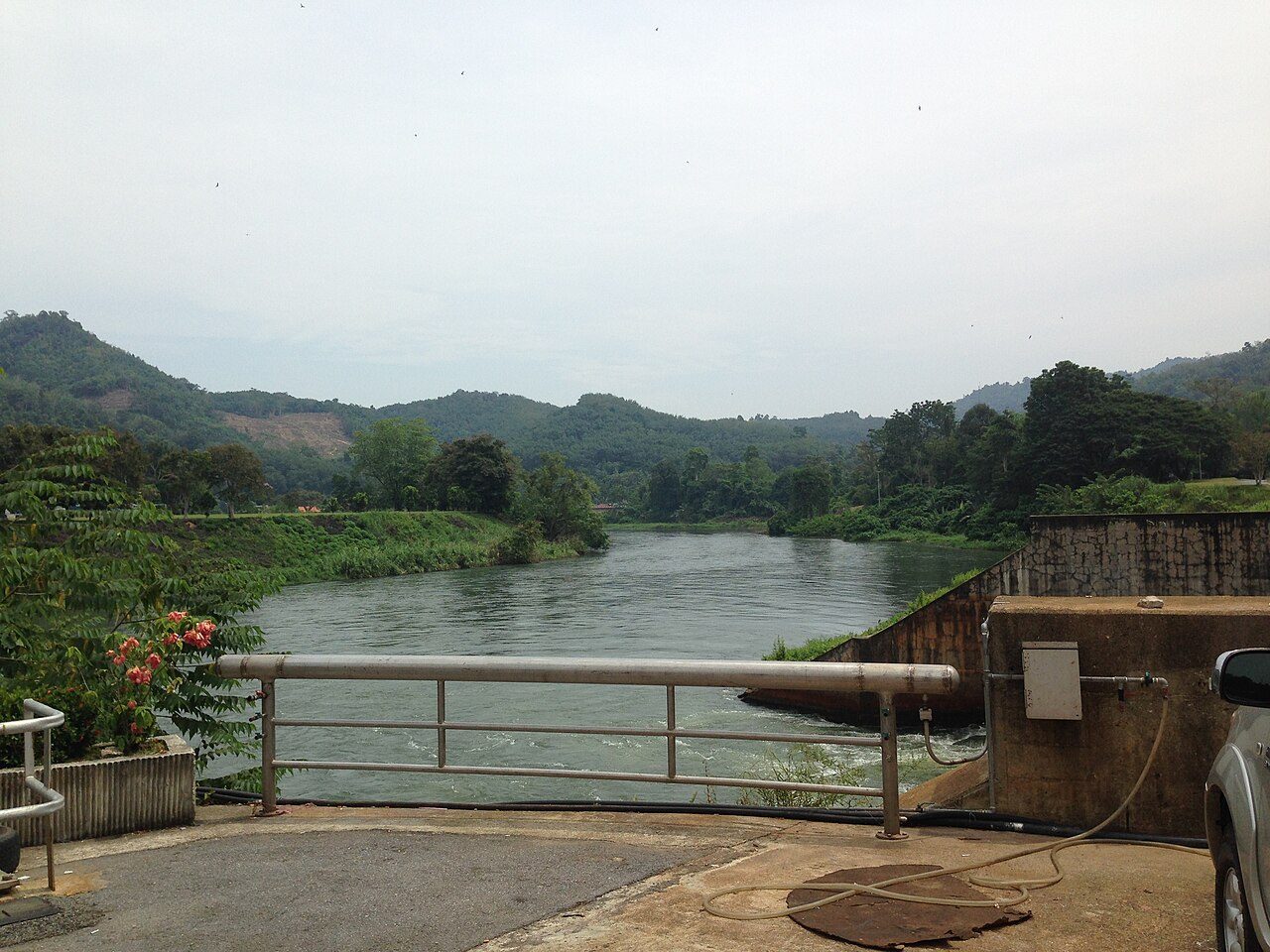
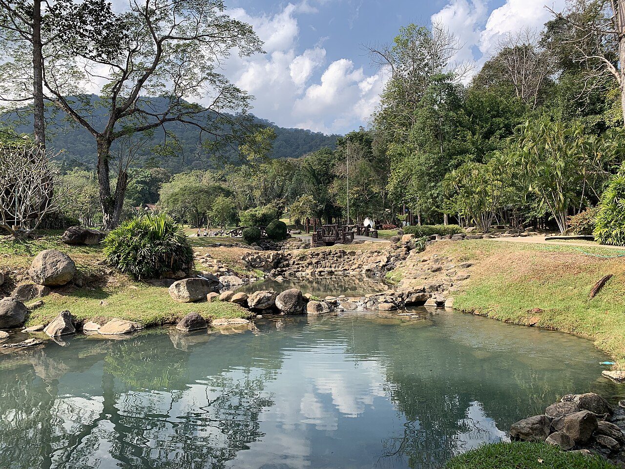
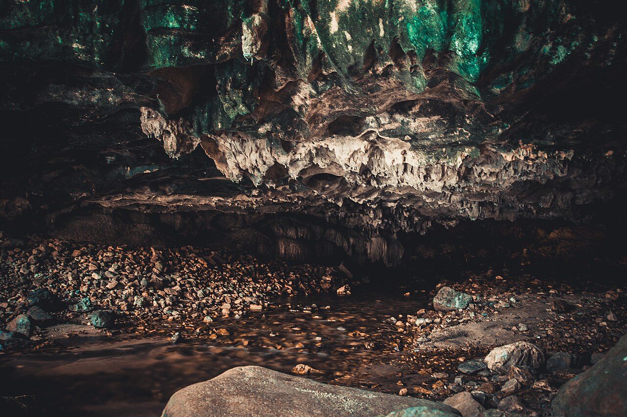
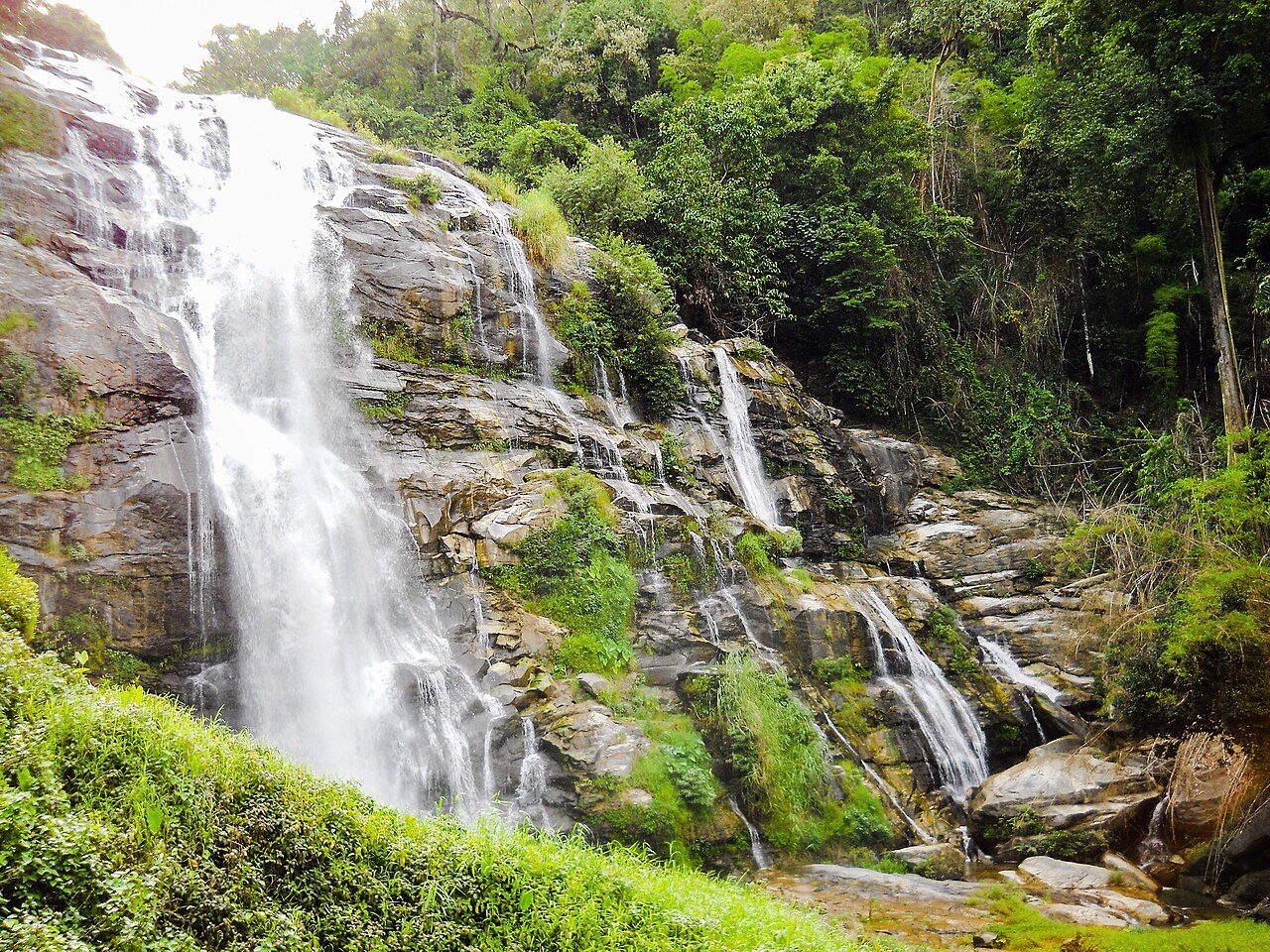
Ta Phraya National Park is a national park in Thailand, covering 146,780 acres (59,400 ha), established in 1996.
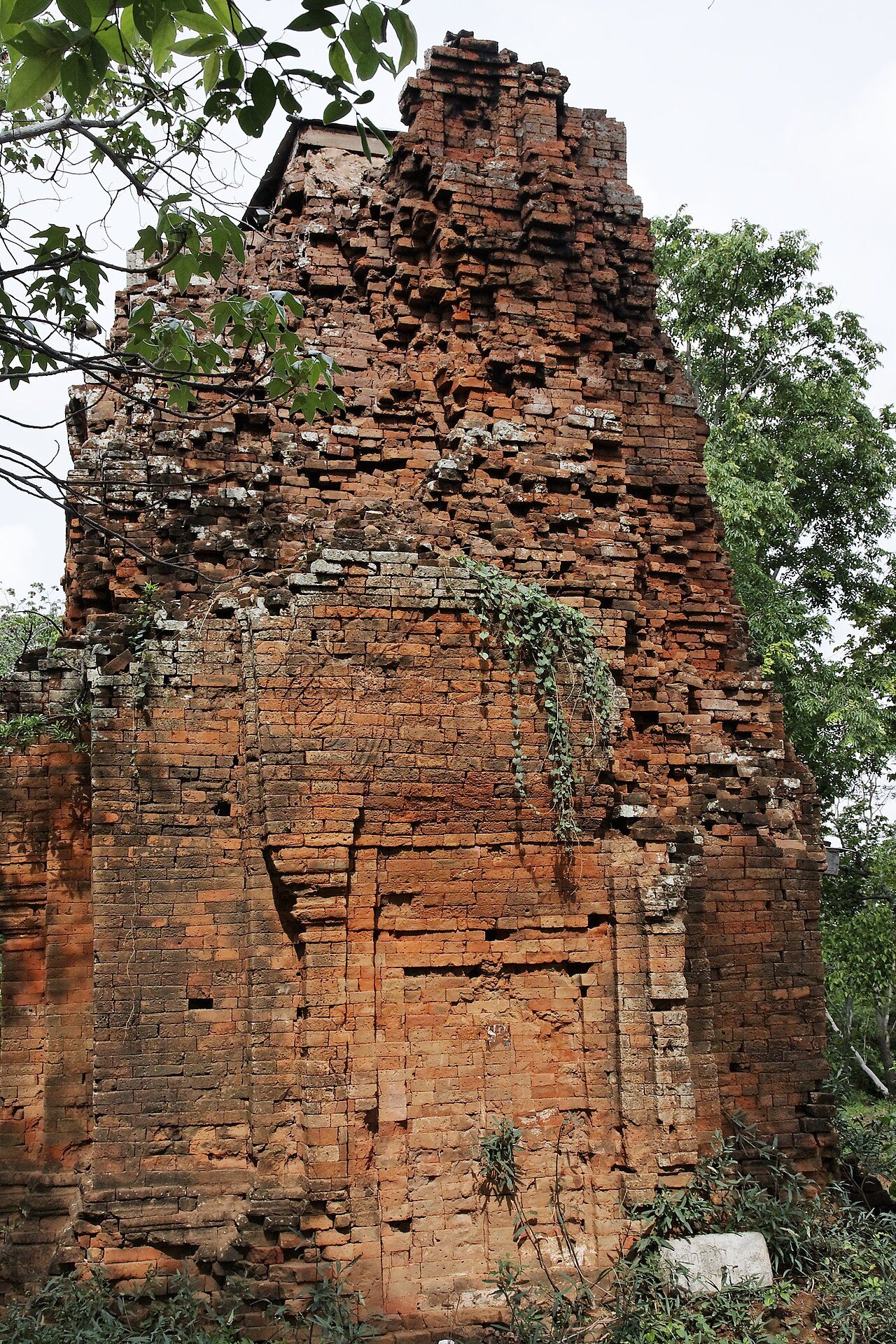
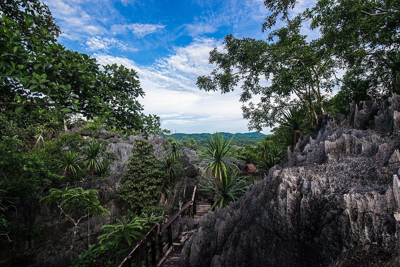
Photo: Ddalbiez via Wikimedia Commons, CC BY-SA 3.0. Cropped and resized for display.
Park facts
| Park type | National Park |
|---|---|
| Location | Thailand |
| Area | 146,780 acres (59,400 ha) |
| Established | 1996 |
| Coordinates | 14.1200° N, 102.6600° E |
Every fact above is taken from the sources listed below; anything no source states is left blank rather than guessed.
About Ta Phraya National Park
Ta Phraya National Park (Thai: อุทยานแห่งชาติตาพระยา, RTGS: Utthayan Haeng Chat Ta Phraya, pronounced [ʔùt.tʰā.jāːn hɛ̀ŋ tɕʰâːt tāː pʰrā.jāː]) is a protected area at the eastern end of the Sankamphaeng Range in the area where these mountains meet the Dangrek Range, near the Thai-Cambodian border. It is largely in Ta Phraya District, Sa Kaeo Province, district after which it is named, although the park also includes sectors of Ban Kruat, Non Din Daeng, and Lahan Sai Districts of Buriram Province. The park, with an area of 371,250 rai ~ 594 square kilometres (229 sq mi) is east of Pang Sida National Park. It was established in 1996.
Description from the park's Wikipedia article (CC BY-SA), linked in the sources below.
Airports near this park
The airports a visitor would actually fly into, nearest first — each link opens its profile on our sister site AirportProfiles.
- Siem Reap-Angkor International Airport (SAI) · Siem Reap, Cambodia · 117.1 miles away
- Suvarnabhumi Airport (BKK) · Bangkok, Thailand · 131.8 miles away
- Don Mueang International Airport (DMK) · Bangkok, Thailand · 138.4 miles away
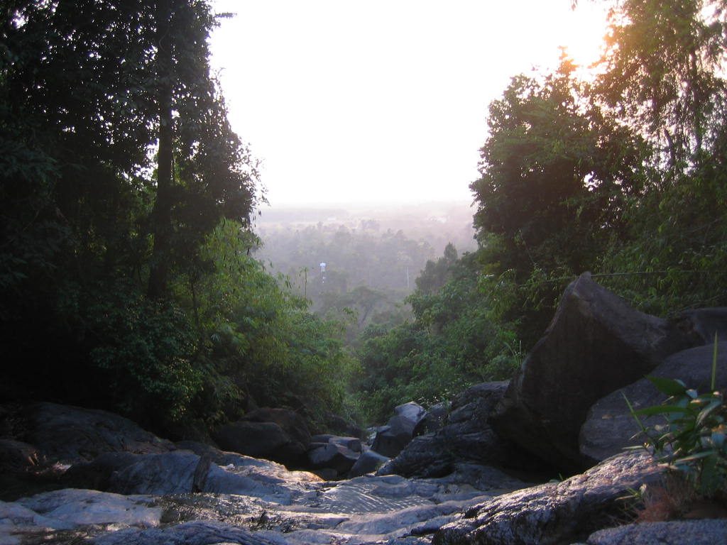
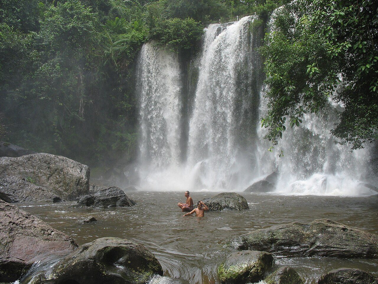
Parks nearby


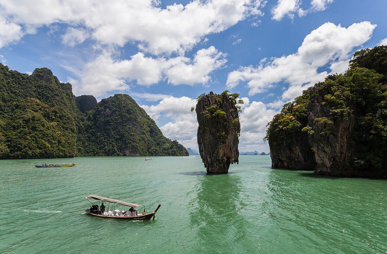
More parks in Thailand


Frequently asked questions
Where is Ta Phraya National Park?
Ta Phraya National Park is in Thailand (14.1200° N, 102.6600° E).
When was Ta Phraya National Park established?
Ta Phraya National Park was established in 1996, per the source listed at the foot of this page.
How big is Ta Phraya National Park?
Ta Phraya National Park covers 146,780 acres (59,400 ha).
Sources
- https://www.wikidata.org/wiki/Q1322853 — Wikidata (CC0) — name, country, coordinates, area, established year, highest point where stated.
- https://en.wikipedia.org/wiki/Ta_Phraya_National_Park — Wikipedia article — description (CC BY-SA).