
Provincial Park · Canada
Pine Le Moray Provincial Park
Pine Le Moray Provincial Park is a provincial park in Canada, covering 106,861 acres (43,245 ha), established in 2000.
Provincial Park · Canada
No freely licensed photograph of this park is in our library yet — rather than borrow a picture of somewhere else, this profile leads with its verified facts.
Park facts
| Park type | Provincial Park |
|---|---|
| Location | Canada |
| Area | 106,861 acres (43,245 ha) |
| Established | 2000 |
| Coordinates | 55.3920° N, 122.5190° W |
Every fact above is taken from the sources listed below; anything no source states is left blank rather than guessed.
About Pine Le Moray Provincial Park
Pine Le Moray Provincial Park is a provincial park in British Columbia, Canada. The park, 70 km southwest of Chetwynd covers 43,289 hectares (106,970 acres). It is located within the Hart Ranges ecosection near the Rocky Mountains. It is within the Engelmann Spruce-Subalpine Fir biogeoclimatic zone. Water courses include Link and Mountain Creeks, the Pine River, and Heart Lake. It provides habitat for trout, Arctic grayling, mountain whitefish, high elevation caribou, moose, wolverine, and grizzly bear. It is recognized by the province as an area traditionally used by First Nations people.
Description from the park's Wikipedia article (CC BY-SA), linked in the sources below.
Planning your visit
What to do
Airports near this park
The airports a visitor would actually fly into, nearest first — each link opens its profile on our sister site AirportProfiles.
- Fort St John / North Peace Regional Airport (YXJ) · Fort Saint John, Canada · 90.5 miles away
- Prince George (International) Airport (YXS) · Prince George, Canada · 104.3 miles away
- Grande Prairie Airport (YQU) · Grande Prairie, Canada · 143.7 miles away
Parks nearby
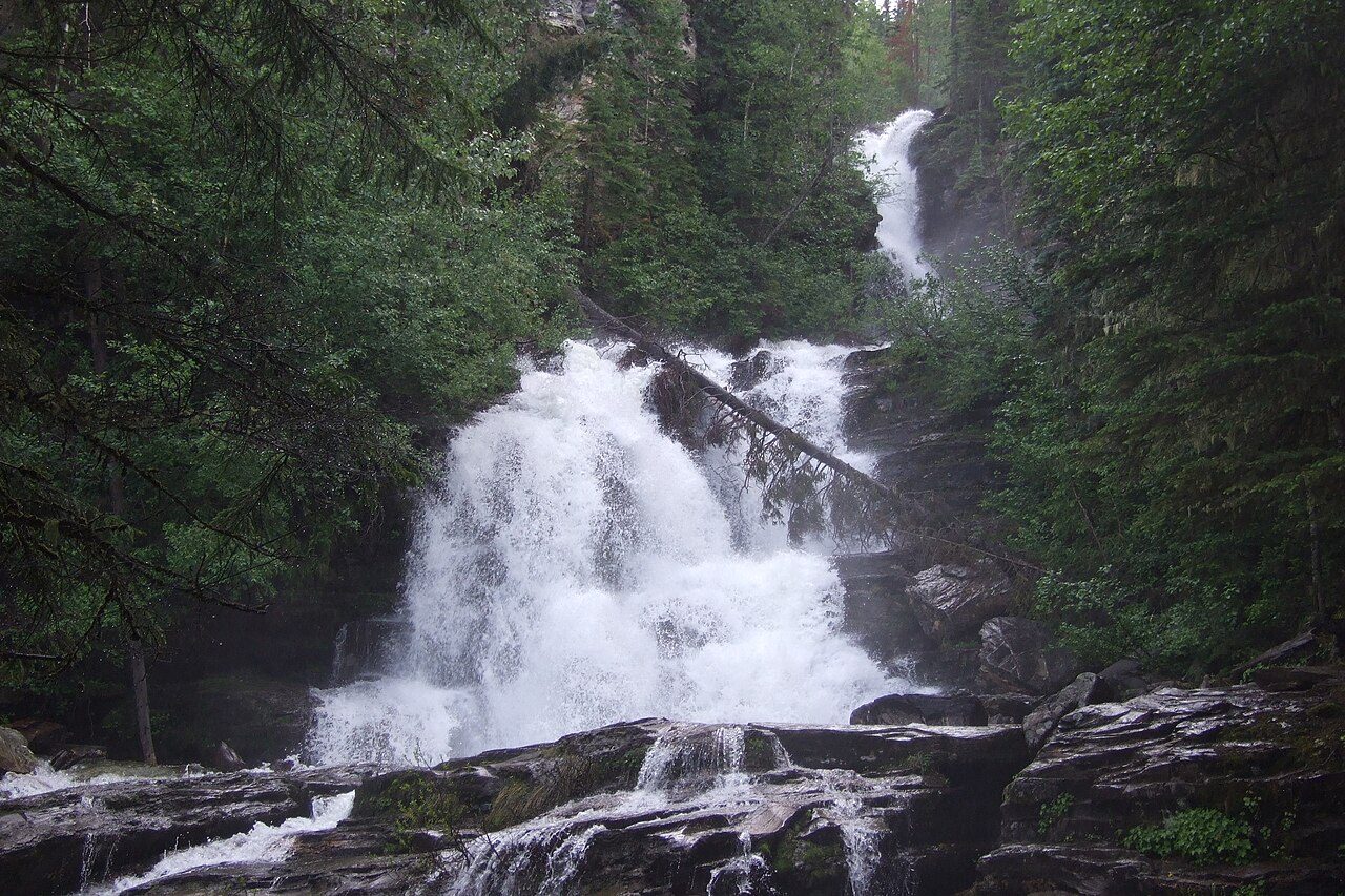
Bijoux Falls Provincial Park
Tudyah Lake Provincial Park
Gwillim Lake Provincial Park
Carp Lake Provincial Park
Butler Ridge Provincial Park
Muscovite Lakes Provincial Park
More parks in Canada








Frequently asked questions
Where is Pine Le Moray Provincial Park?
Pine Le Moray Provincial Park is in Canada (55.3920° N, 122.5190° W).
When was Pine Le Moray Provincial Park established?
Pine Le Moray Provincial Park was established in 2000, per the source listed at the foot of this page.
How big is Pine Le Moray Provincial Park?
Pine Le Moray Provincial Park covers 106,861 acres (43,245 ha).
Sources
- https://www.wikidata.org/wiki/Q7195253 — Wikidata (CC0) — name, country, coordinates, area, established year, highest point where stated.
- https://en.wikipedia.org/wiki/Pine_Le_Moray_Provincial_Park — Wikipedia article — description (CC BY-SA).