
National Park · Canada
Pointe-Taillon National Park
Pointe-Taillon National Park is a national park in Canada, covering 22,783 acres (9,220 ha), established in 1985.
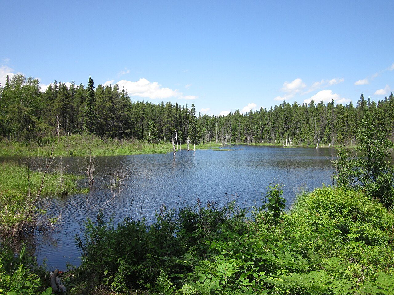
Photo: Fralambert via Wikimedia Commons, CC BY-SA 3.0. Cropped and resized for display.
Park facts
| Park type | National Park |
|---|---|
| Location | Canada |
| Area | 22,783 acres (9,220 ha) |
| Established | 1985 |
| Coordinates | 48.7000° N, 71.9667° W |
Every fact above is taken from the sources listed below; anything no source states is left blank rather than guessed.
About Pointe-Taillon National Park
Pointe-Taillon National Park (French: Parc national de la Pointe-Taillon, pronounced [paʁk nɑsjɔnal də la pwɛ̃t tajɔ̃]) is a provincial park in Quebec, Canada. It is located on the north shore of Lac Saint-Jean, northwest of Saguenay (city), northwest of Alma, near the village of Saint-Henri-de-Taillon, on the banks of Lac Saint-Jean. The park covers an area of 97.5 km (60.58 mi) has as a 45 km (28 mi) cycling network. The park's mission is to protect a representative sample of the Saguenay–Lac-Saint-Jean lowlands.
Description from the park's Wikipedia article (CC BY-SA), linked in the sources below.
Planning your visit
What to do
Airports near this park
The airports a visitor would actually fly into, nearest first — each link opens its profile on our sister site AirportProfiles.
- Quebec Jean Lesage International Airport (YQB) · Quebec, Canada · 134.6 miles away
Parks nearby
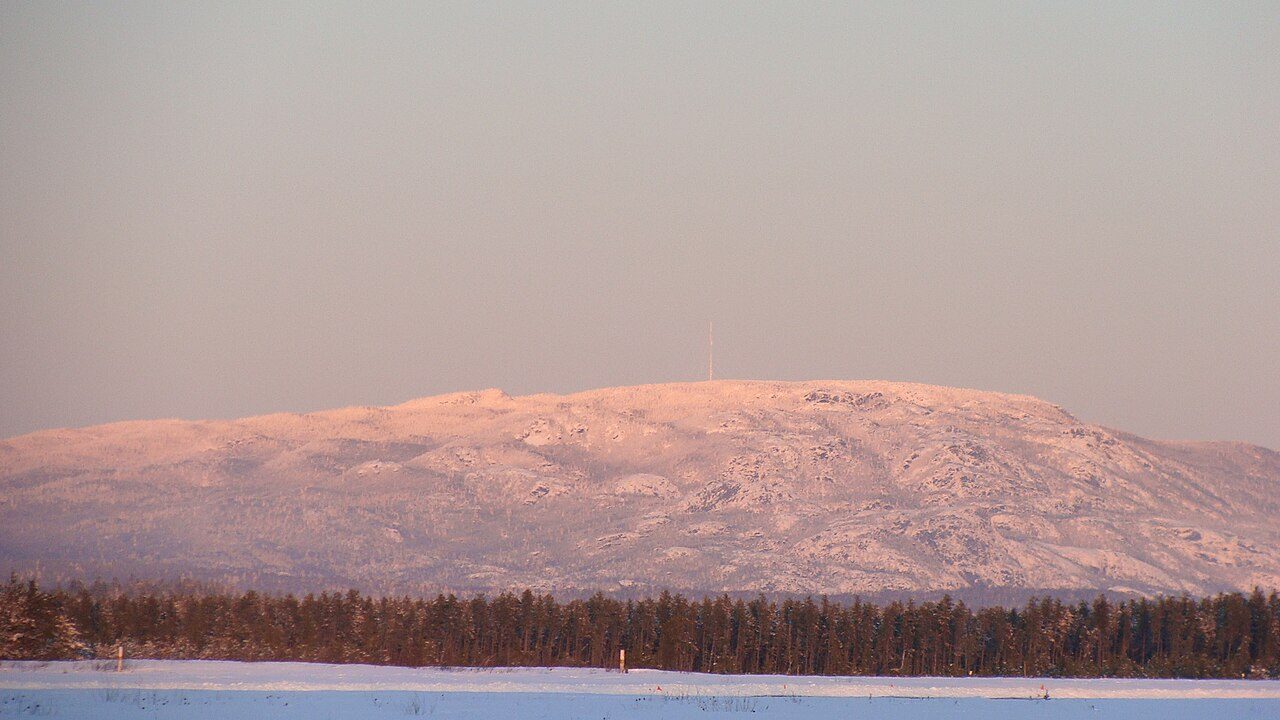
Monts-Valin National Park
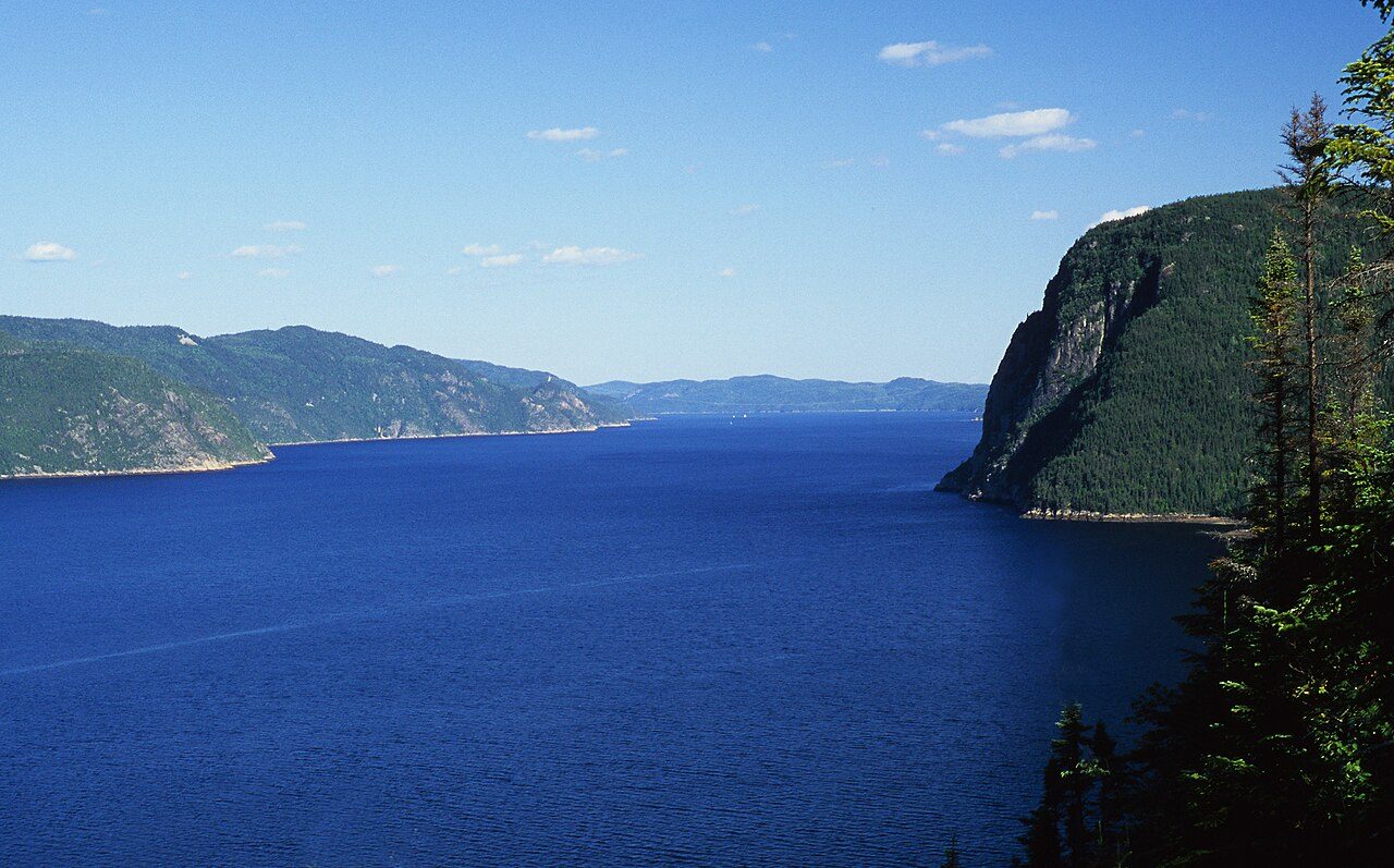
Saguenay Fjord National Park
Hautes-Gorges-de-la-Rivière-Malbaie National Park
Réserve de biodiversité de la Vallée-de-la-Rivière-Sainte-Marguerite
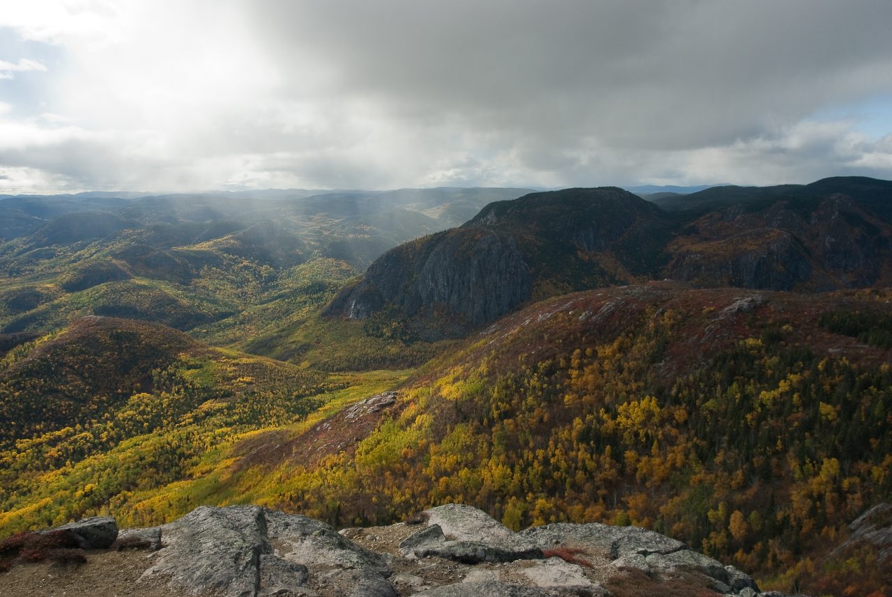
Grands-Jardins National Park
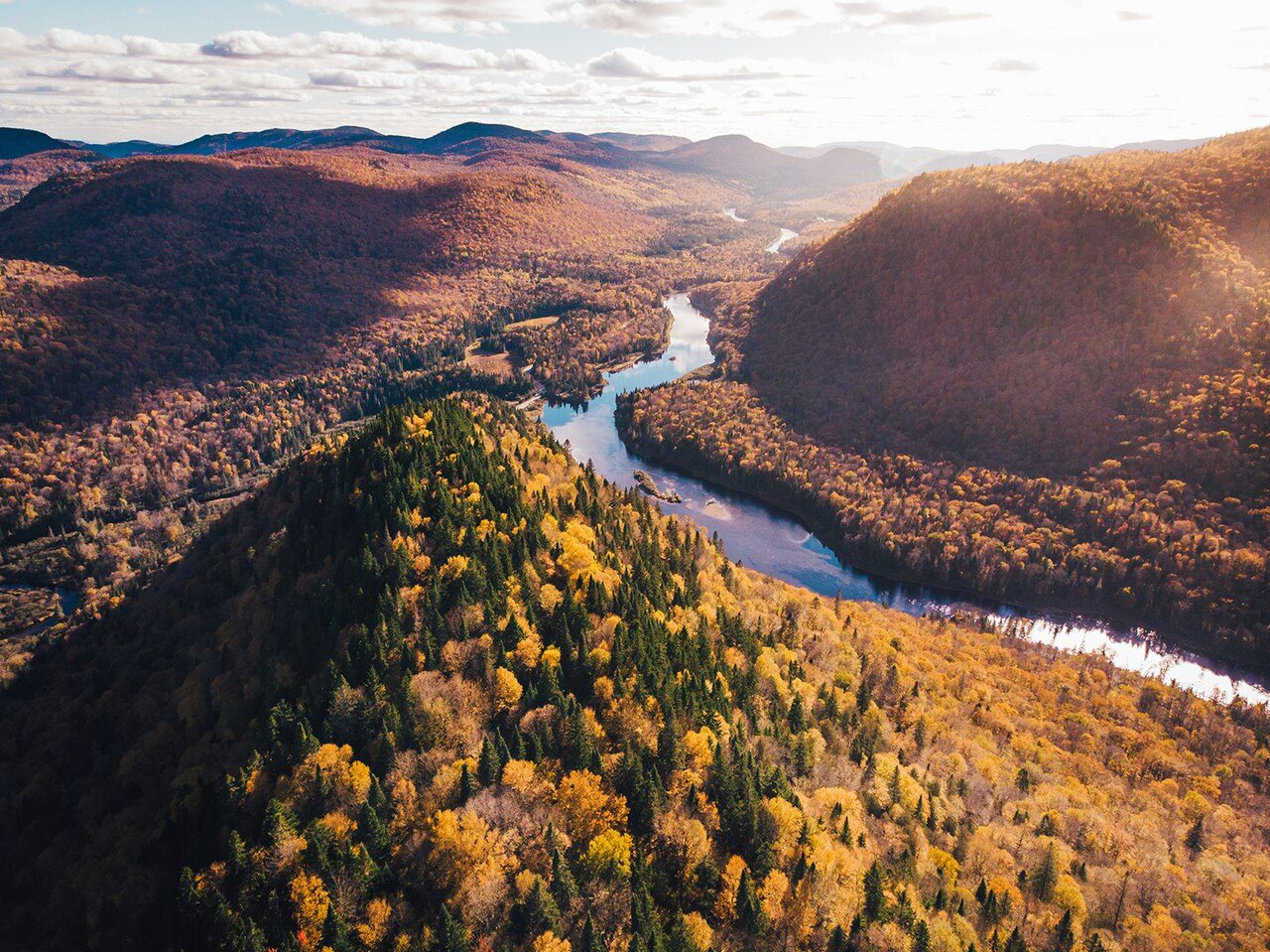
Jacques-Cartier National Park
More parks in Canada









Frequently asked questions
Where is Pointe-Taillon National Park?
Pointe-Taillon National Park is in Canada (48.7000° N, 71.9667° W).
When was Pointe-Taillon National Park established?
Pointe-Taillon National Park was established in 1985, per the source listed at the foot of this page.
How big is Pointe-Taillon National Park?
Pointe-Taillon National Park covers 22,783 acres (9,220 ha).
Sources
- https://www.wikidata.org/wiki/Q2051991 — Wikidata (CC0) — name, country, coordinates, area, established year, highest point where stated.
- https://en.wikipedia.org/wiki/Pointe-Taillon_National_Park — Wikipedia article — description (CC BY-SA).