
State Park · Georgia, United States
Red Top Mountain State Park
Red Top Mountain State Park is a state park in Georgia, United States, covering 1,776 acres (719 ha).
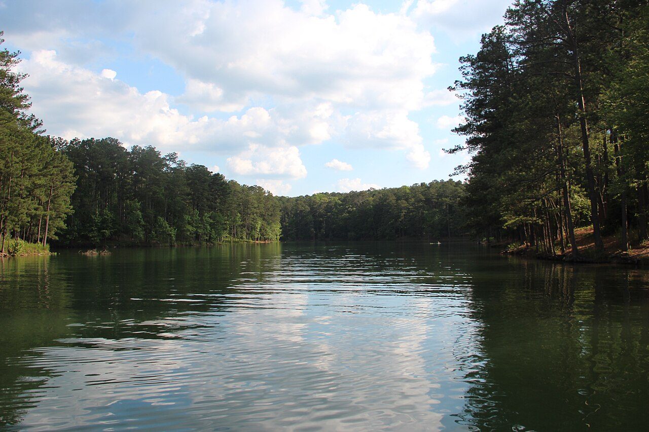
Photo: Thomson200 via Wikimedia Commons, CC0. Cropped and resized for display.
Park facts
| Park type | State Park |
|---|---|
| Location | Bartow, Georgia, United States |
| Area | 1,776 acres (719 ha) |
| Coordinates | 34.1429° N, 84.7067° W |
| Managed by | Georgia state park system |
Every fact above is taken from the sources listed below; anything no source states is left blank rather than guessed.
About Red Top Mountain State Park
Red Top Mountain State Park is a state park in the U.S. state of Georgia. It is located in the Northwestern part of the state, on the northwestern edge of metro Atlanta, in Southeastern Bartow County near Cartersville. Named for iron-rich Red Top Mountain, the park covers 1,776 acres (6.32 km2) on a peninsula jutting north into Lake Allatoona, formed on the park's north and east sides by the Etowah River arm and on the west by Allatoona Creek arm. During the 1864 Atlanta campaign of the American Civil War, the Battle of Allatoona Pass was fought on a battlefield near the park.
Description from the park's Wikipedia article (CC BY-SA), linked in the sources below.
Airports near this park
The airports a visitor would actually fly into, nearest first — each link opens its profile on our sister site AirportProfiles.
- Hartsfield Jackson Atlanta International Airport (ATL) · Atlanta, United States · 38.5 miles away
- McGhee Tyson Airport (TYS) · Knoxville/Maryville, United States · 122.1 miles away
- Birmingham-Shuttlesworth International Airport (BHM) · Birmingham, United States · 123.9 miles away
Parks nearby
George Washington Carver State Park
Etowah Indian Mounds State Historic Site
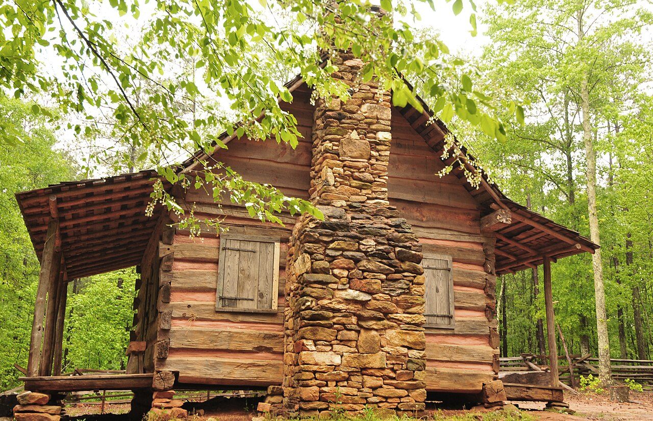
Pickett's Mill Battlefield State Historic Site
Kennesaw Mountain National Battlefield Park
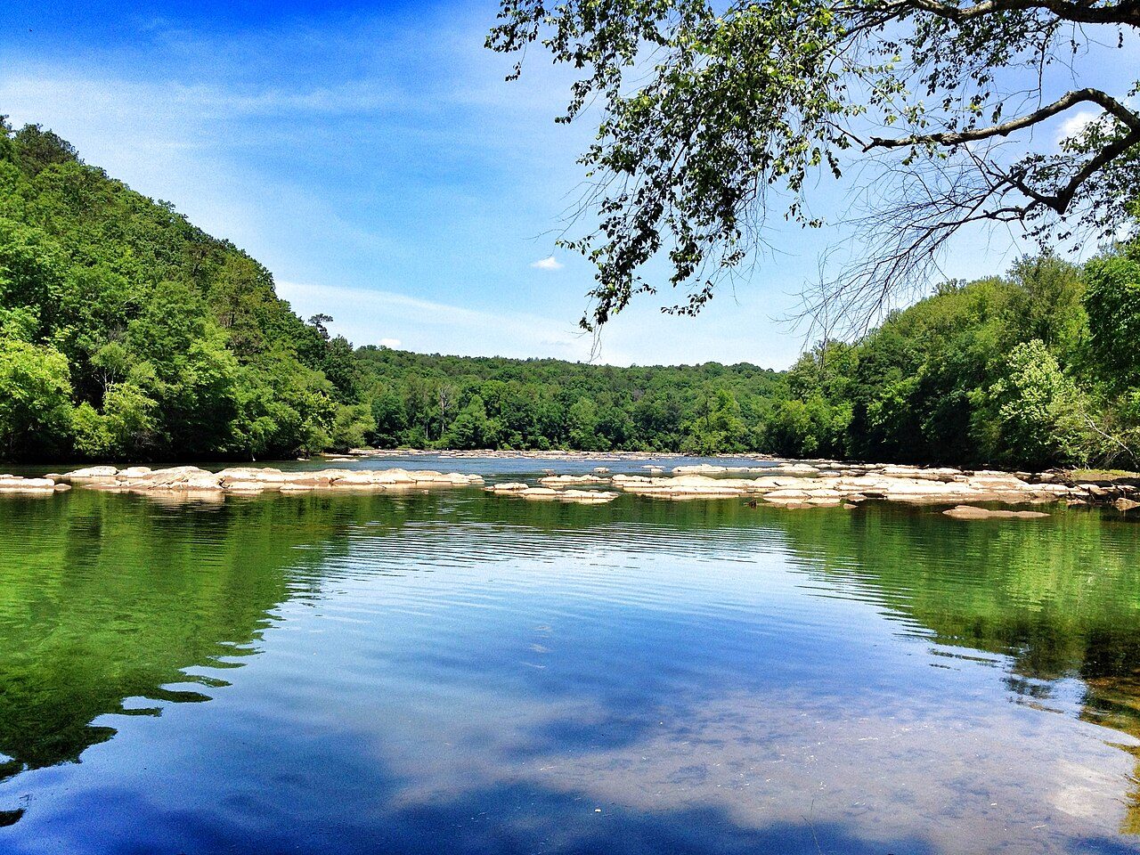
Chattahoochee River National Recreation Area
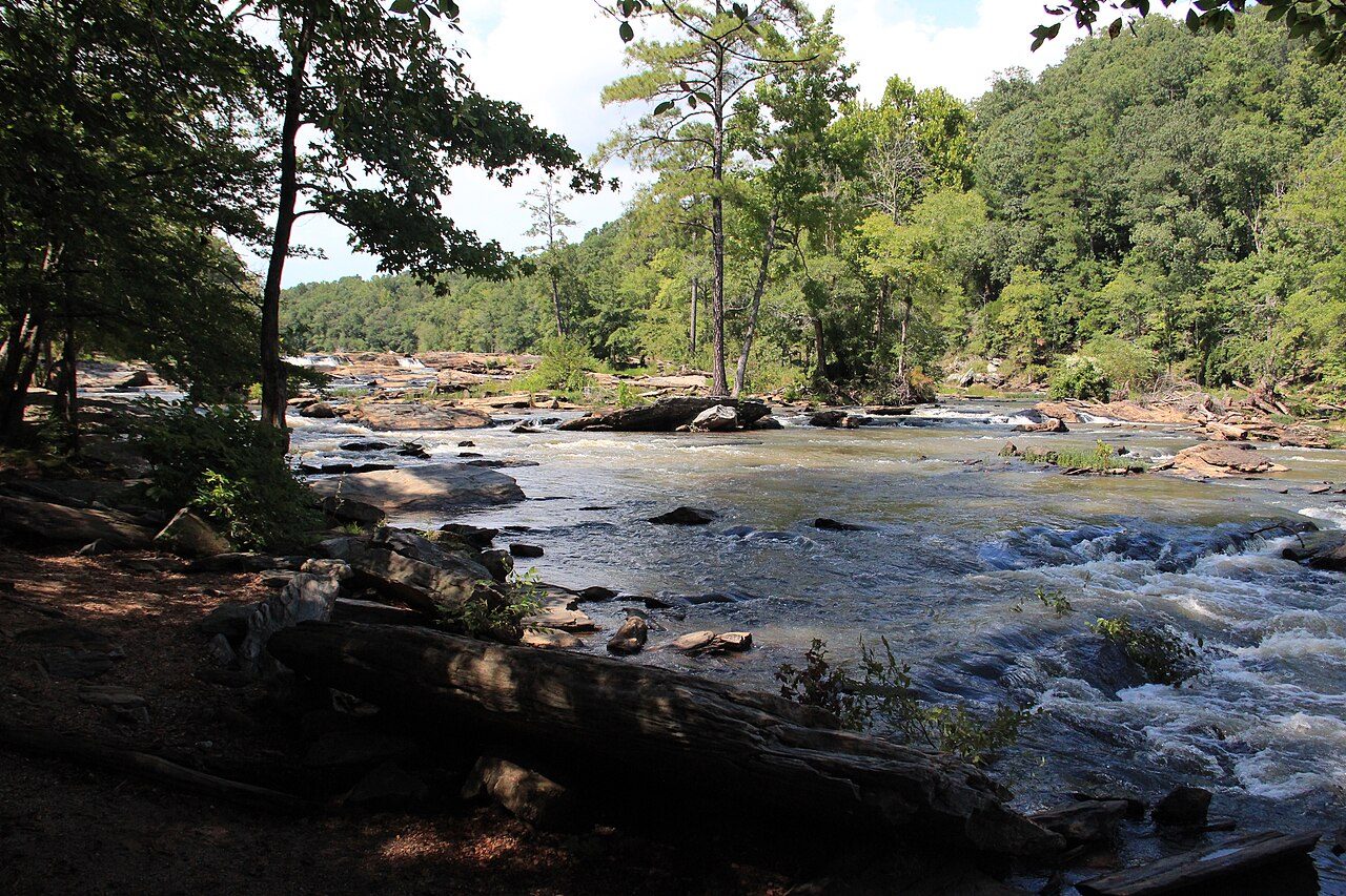
Sweetwater Creek State Park
More parks in Georgia

Frequently asked questions
Where is Red Top Mountain State Park?
Red Top Mountain State Park is in Georgia, United States (34.1429° N, 84.7067° W).
How big is Red Top Mountain State Park?
Red Top Mountain State Park covers 1,776 acres (719 ha).
Sources
- https://en.wikipedia.org/wiki/List_of_Georgia_state_parks — Wikipedia list of Georgia state parks — park name, county/location, size, year where the table states them.
- https://en.wikipedia.org/wiki/Red_Top_Mountain_State_Park — Wikipedia article — description (CC BY-SA).