
State Park · California, United States
Refugio State Beach
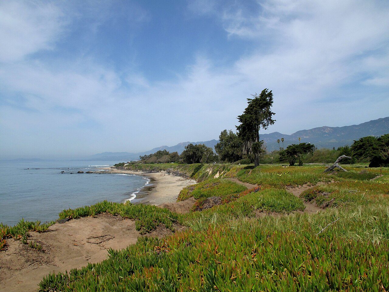
Refugio State Beach is a state park in California, United States.
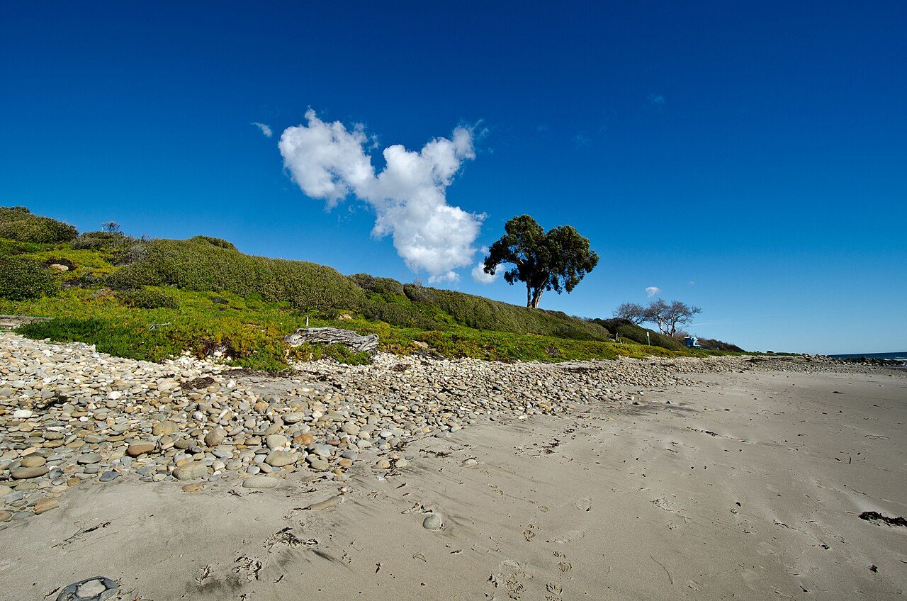
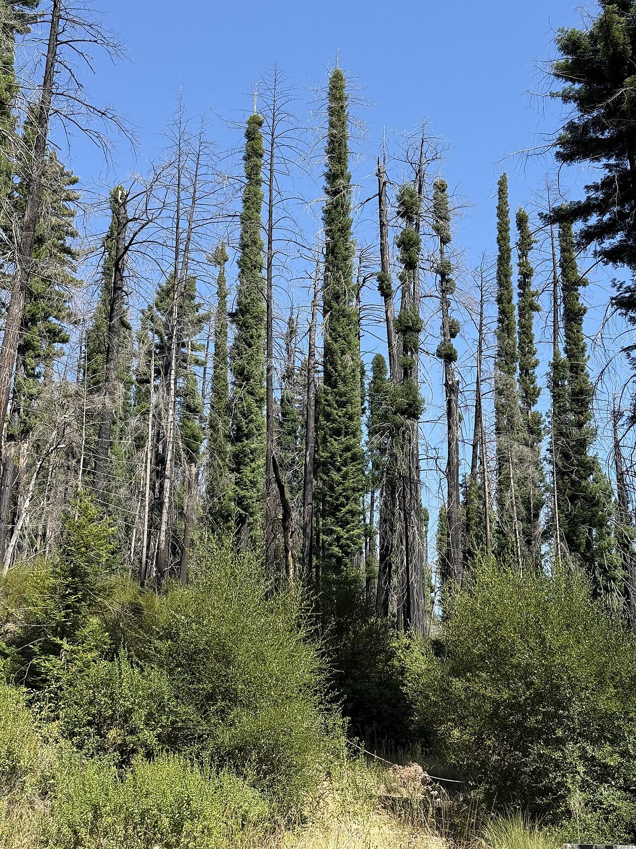
Photo: ars5017 via Wikimedia Commons, CC BY 2.0. Cropped and resized for display.
Park facts
| Park type | State Park |
|---|---|
| Location | Santa Barbara, California, United States |
| Coordinates | 34.4622° N, 120.0730° W |
| Managed by | California state park system |
Every fact above is taken from the sources listed below; anything no source states is left blank rather than guessed.
About Refugio State Beach
Refugio State Beach (Chumash: Qasil, "Beautiful") is a protected state beach park in California, United States, approximately 20 miles (32 km) west of Santa Barbara. One of three state parks along the Gaviota Coast, it is 2.5 miles (4.0 km) west of El Capitán State Beach. The Refugio oil spill occurred just north of the park in 2015 when a pipeline carrying crude oil ruptured. The spill went into a culvert that ran under US 101 and into the ocean. The spill spread over 7 miles (11 km) of coastline, including Refugio and El Capitán state beaches.
Description from the park's Wikipedia article (CC BY-SA), linked in the sources below.
Planning your visit
Getting there
| Nearest town | Santa Barbara, California |
|---|---|
| Getting there | about 20 miles west of Santa Barbara |
Airports near this park
The airports a visitor would actually fly into, nearest first — each link opens its profile on our sister site AirportProfiles.
- Hollywood Burbank/Bob Hope Airport (BUR) · Burbank, United States · 99.5 miles away
- Los Angeles International Airport (LAX) · Los Angeles, United States · 101.7 miles away
- Long Beach International Airport (LGB) · Long Beach, United States · 118.7 miles away
Parks nearby
More parks in California

Frequently asked questions
Where is Refugio State Beach?
Refugio State Beach is in California, United States (34.4622° N, 120.0730° W).
How do I get to Refugio State Beach?
The nearest town is Santa Barbara, California. about 20 miles west of Santa Barbara.
Sources
- https://en.wikipedia.org/wiki/List_of_California_state_parks — Wikipedia list of California state parks — park name, county/location, size, year where the table states them.
- https://en.wikipedia.org/wiki/Refugio_State_Beach — Wikipedia article — description (CC BY-SA).