
National Park · Japan
Rikuchu Kaigan National Park
Rikuchu Kaigan National Park is a national park in Japan, established in 1955.
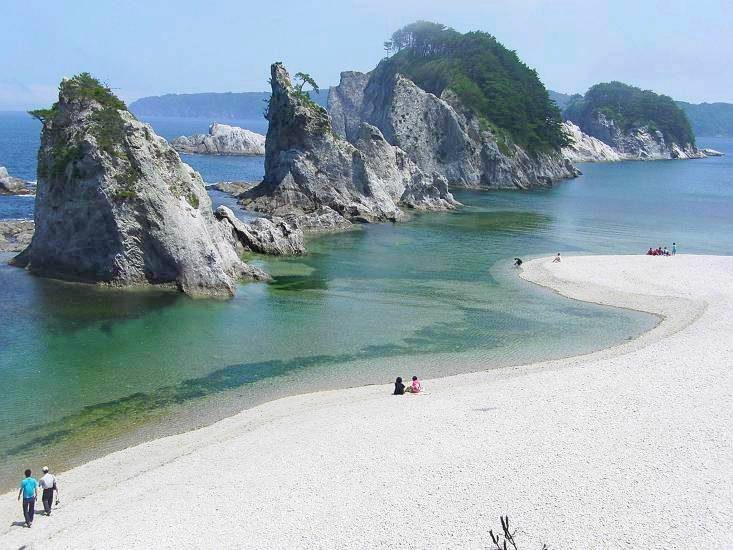
Photo: Junpei Satoh via Wikimedia Commons, CC BY-SA 3.0. Cropped and resized for display.
Park facts
| Park type | National Park |
|---|---|
| Location | Japan |
| Established | 1955 |
| Coordinates | 39.4989° N, 141.9040° E |
Every fact above is taken from the sources listed below; anything no source states is left blank rather than guessed.
About Rikuchu Kaigan National Park
Sanriku Fukkō National Park (三陸復興国立公園, Sanriku Fukkō Kokuritsu Kōen; lit. 'Sanriku Reconstruction National Park') is a national park extending along the Sanriku Coast of Japan from Hachinohe in Aomori Prefecture through Iwate Prefecture to Kesennuma in Miyagi Prefecture. The national park was created on 24 May 2013 and covers a land area of 28,537 hectares (110.18 sq mi).
Description from the park's Wikipedia article (CC BY-SA), linked in the sources below.
Airports near this park
The airports a visitor would actually fly into, nearest first — each link opens its profile on our sister site AirportProfiles.
- Aomori Airport (AOJ) · Aomori, Japan · 106.8 miles away
- Sendai Airport (SDJ) · Natori, Japan · 107.9 miles away
Parks nearby
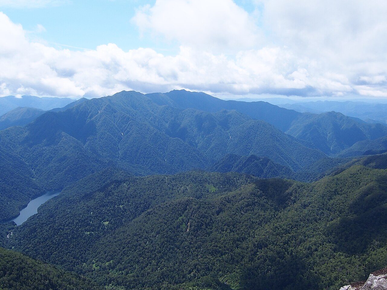
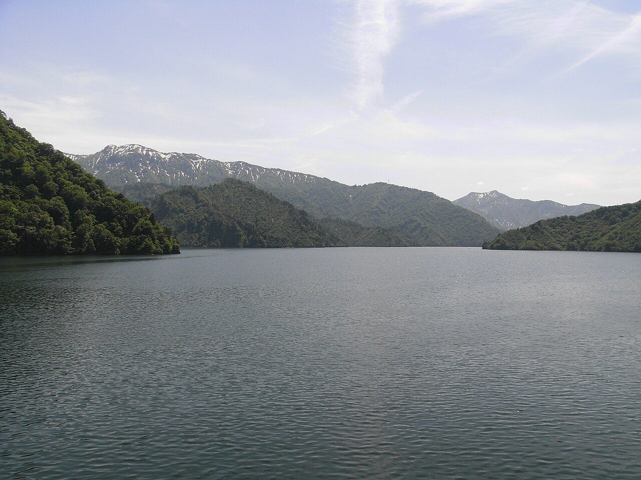
More parks in Japan
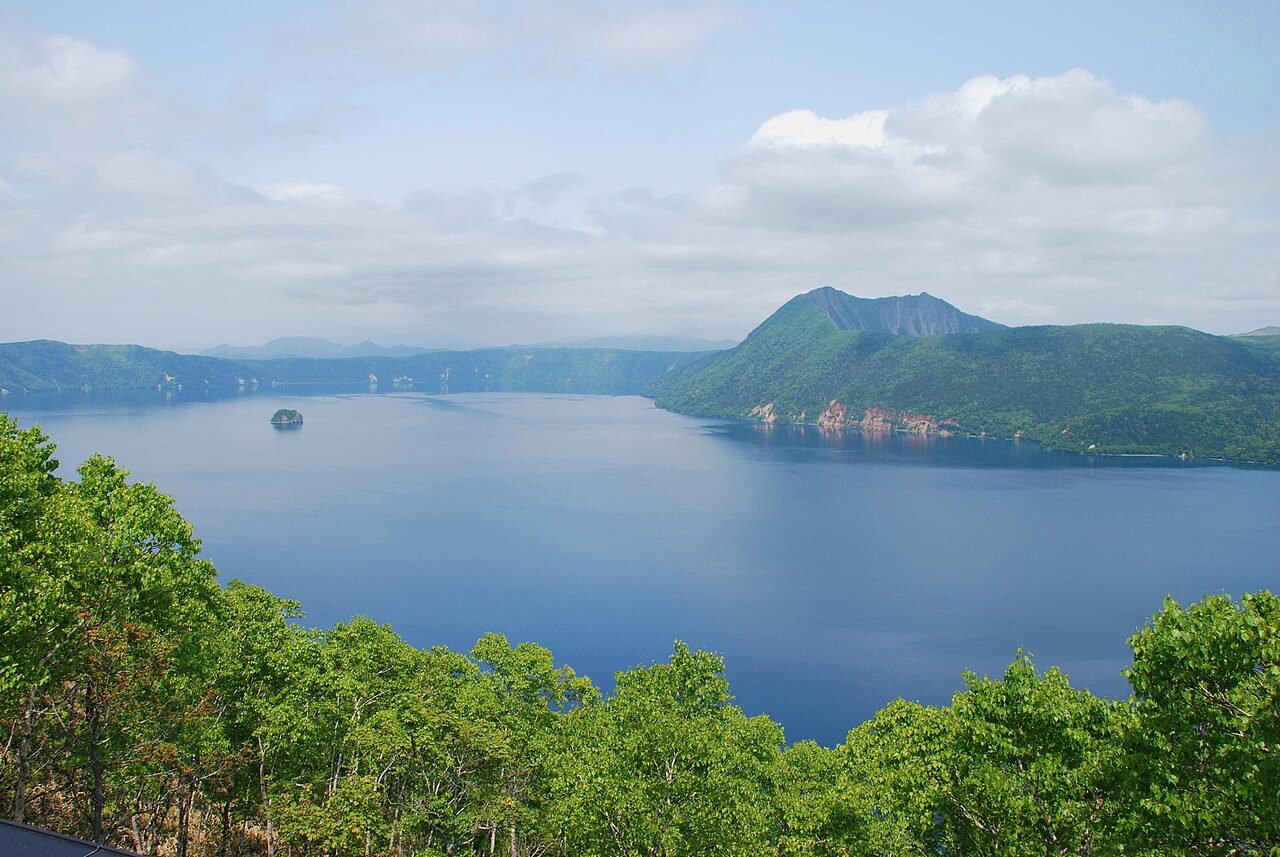
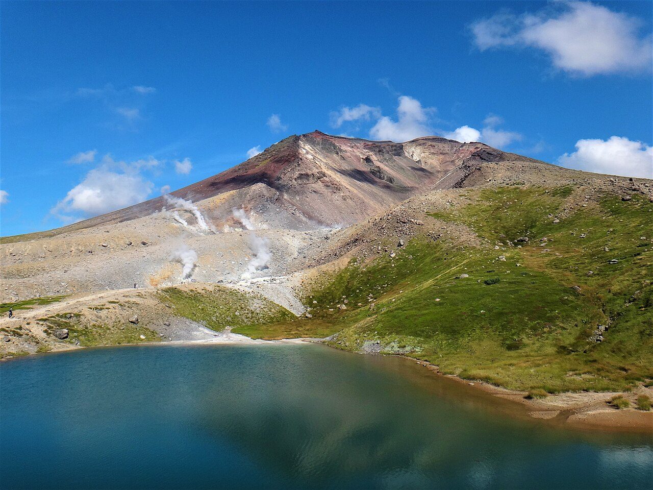

Frequently asked questions
Where is Rikuchu Kaigan National Park?
Rikuchu Kaigan National Park is in Japan (39.4989° N, 141.9040° E).
When was Rikuchu Kaigan National Park established?
Rikuchu Kaigan National Park was established in 1955, per the source listed at the foot of this page.
Sources
- https://www.wikidata.org/wiki/Q20055320 — Wikidata (CC0) — name, country, coordinates, area, established year, highest point where stated.
- https://en.wikipedia.org/wiki/Rikuchu_Kaigan_National_Park — Wikipedia article — description (CC BY-SA).