
National Park · Japan
Towada-Hachimantai National Park
Towada-Hachimantai National Park is a national park in Japan, covering 211,359 acres (85,534 ha), established in 1936.
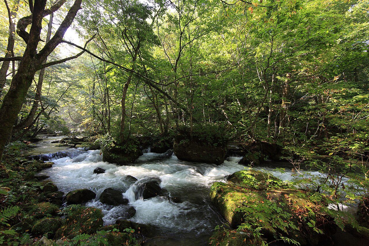
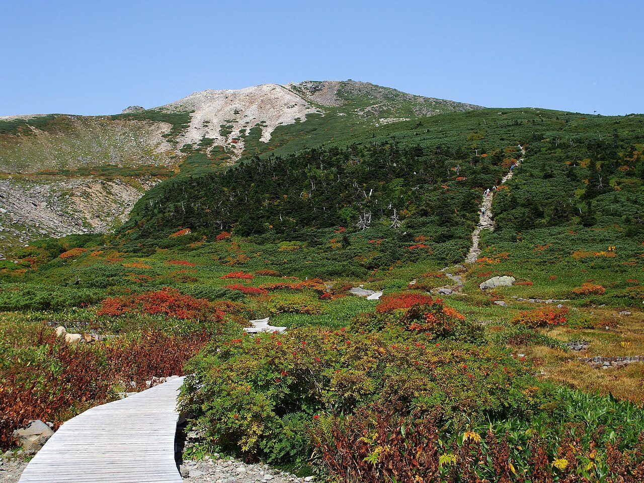
Photo: TANAKA Juuyoh (田中十洋) via Wikimedia Commons, CC BY 2.0. Cropped and resized for display.
Park facts
| Park type | National Park |
|---|---|
| Location | Japan |
| Area | 211,359 acres (85,534 ha) |
| Established | 1936 |
| Highest point | Mount Iwate — 2,038 m (6,687 ft) |
| Coordinates | 40.3333° N, 140.8330° E |
Every fact above is taken from the sources listed below; anything no source states is left blank rather than guessed.
About Towada-Hachimantai National Park
Towada-Hachimantai National Park (十和田八幡平国立公園, Towada-Hachimantai Kokuritsu Kōen) is a national park comprising two separate areas of Aomori, Iwate, and Akita Prefectures, Japan. The Towada-Hakkōda area encompasses Lake Towada, Mount Hakkōda, and most of the Oirase River valley. The Hachimantai area includes Mount Hachimantai, Mount Iwate, Tamagawa Onsen, and Akita Komagatake (秋田駒ヶ岳). The two areas are 50 kilometres (31 mi) apart, and cover 854 square kilometres (330 mi2).
Description from the park's Wikipedia article (CC BY-SA), linked in the sources below.
Airports near this park
The airports a visitor would actually fly into, nearest first — each link opens its profile on our sister site AirportProfiles.
- Aomori Airport (AOJ) · Aomori, Japan · 28.7 miles away
- Hakodate Airport (HKD) · Hakodate, Japan · 99.3 miles away
Parks nearby
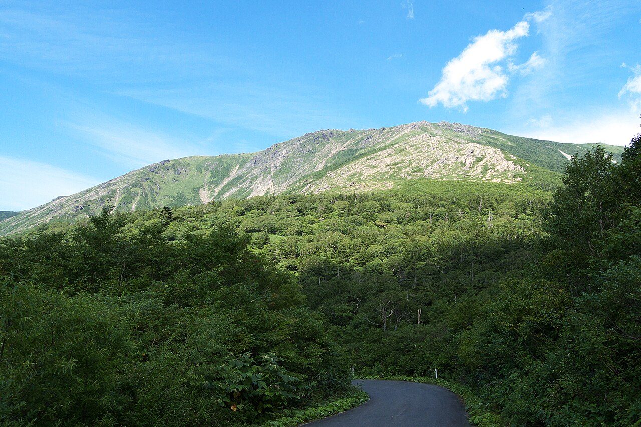
Hayachine Quasi-National Park
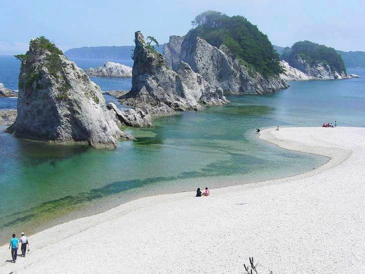
Rikuchu Kaigan National Park
Kurikoma Quasi-National Park
Shikotsu-Tōya National Park
Niseko-Shakotan-Otaru Kaigan Quasi-National Park
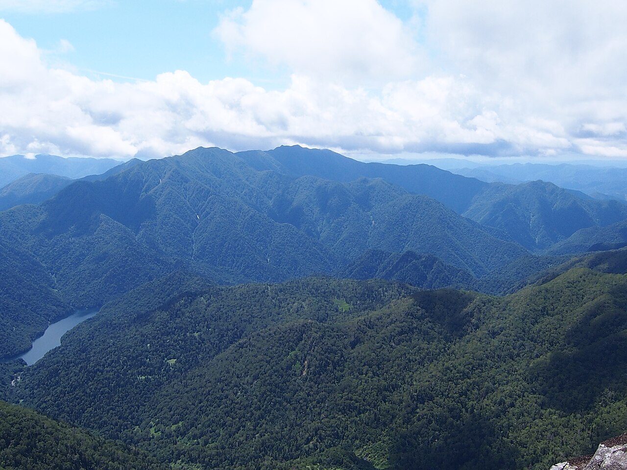
Hidakasanmyaku-Erimo-Tokachi National Park
More parks in Japan

Frequently asked questions
Where is Towada-Hachimantai National Park?
Towada-Hachimantai National Park is in Japan (40.3333° N, 140.8330° E).
When was Towada-Hachimantai National Park established?
Towada-Hachimantai National Park was established in 1936, per the source listed at the foot of this page.
How big is Towada-Hachimantai National Park?
Towada-Hachimantai National Park covers 211,359 acres (85,534 ha).
What is the highest point in Towada-Hachimantai National Park?
The highest point is Mount Iwate, at 2,038 metres (6,687 ft).
Sources
- https://www.wikidata.org/wiki/Q1155842 — Wikidata (CC0) — name, country, coordinates, area, established year, highest point where stated.
- https://en.wikipedia.org/wiki/Towada-Hachimantai_National_Park — Wikipedia article — description (CC BY-SA).