
National Park · Japan
Rishiri-Rebun-Sarobetsu National Park
Rishiri-Rebun-Sarobetsu National Park is a national park in Japan, covering 86,054 acres (34,825 ha), established in 1974.
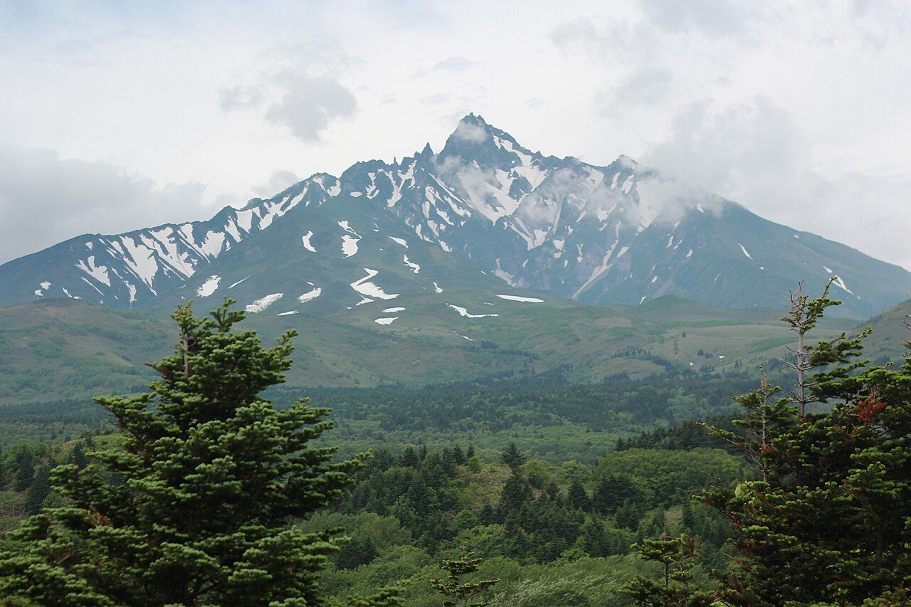
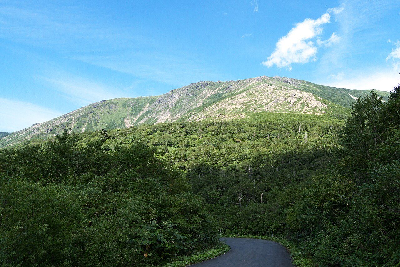
Photo: Japanexperterna.se via Wikimedia Commons, CC BY-SA 3.0. Cropped and resized for display.
Park facts
| Park type | National Park |
|---|---|
| Location | Japan |
| Area | 86,054 acres (34,825 ha) |
| Established | 1974 |
| Highest point | Mount Rishiri — 1,721 m (5,646 ft) |
| Coordinates | 45.1939° N, 141.2580° E |
Every fact above is taken from the sources listed below; anything no source states is left blank rather than guessed.
About Rishiri-Rebun-Sarobetsu National Park
Rishiri-Rebun-Sarobetsu National Park (利尻礼文サロベツ国立公園, Rishiri Rebun Sarobetsu Kokuritsu Kōen) is a national park on the Rishiri Island, Rebun Island, and a coastal area from Wakkanai to Horonobe at the north-western tip of Hokkaidō, Japan. Areas of the park cover 212.22 square kilometres (81.94 mi2). The park is noted for its alpine flora and views of volcanic mountains and areas formed by marine erosion. The park is surrounded by fishing grounds, and the coastal areas of the park are rich in kelp.
Description from the park's Wikipedia article (CC BY-SA), linked in the sources below.
Planning your visit
What to do
Airports near this park
The airports a visitor would actually fly into, nearest first — each link opens its profile on our sister site AirportProfiles.
- Yuzhno-Sakhalinsk International Airport (UUS) · Yuzhno-Sakhalinsk, Russia · 136.2 miles away
Parks nearby
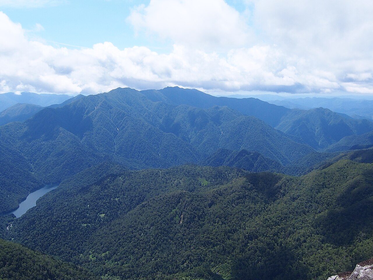
More parks in Japan
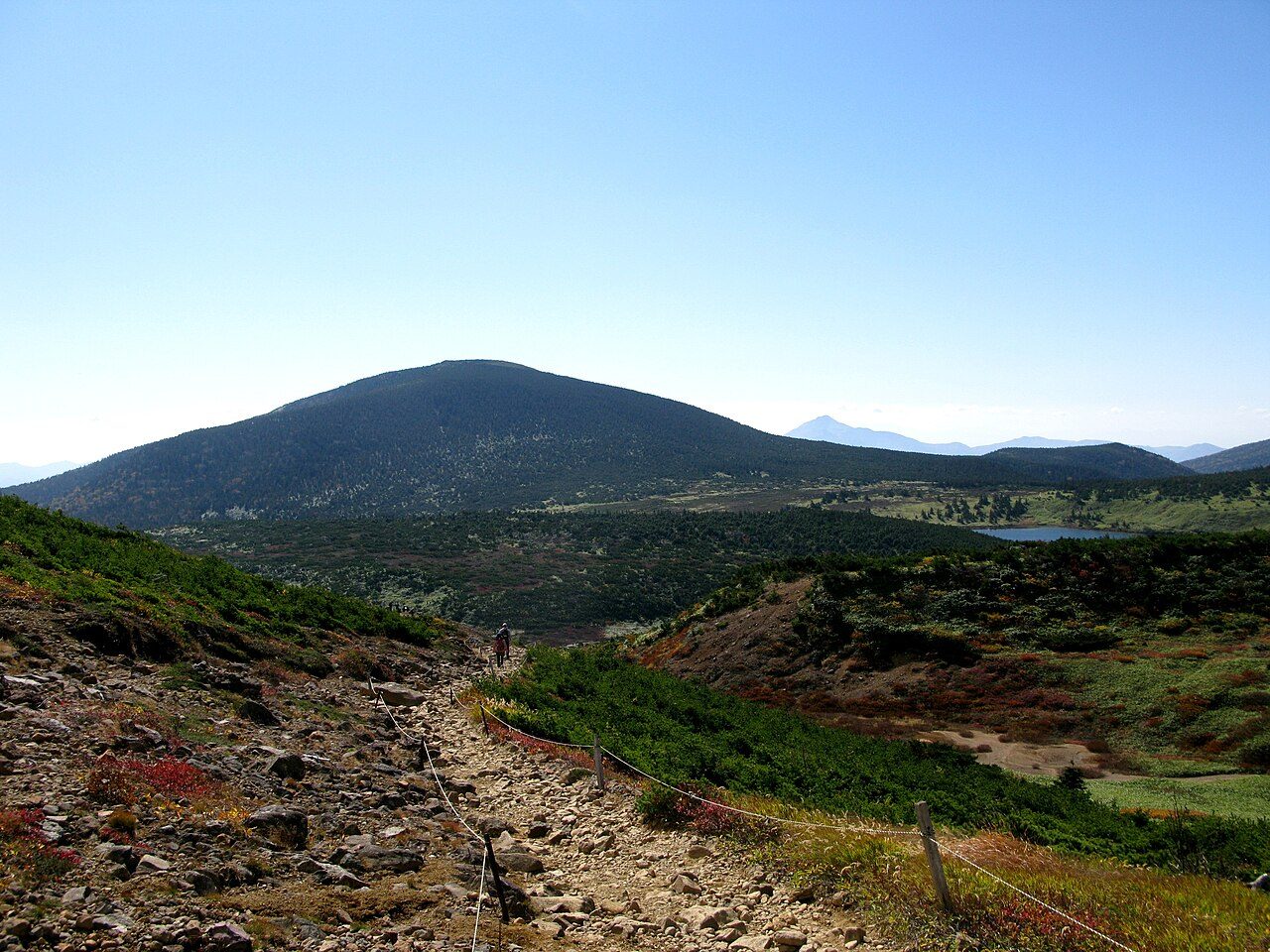
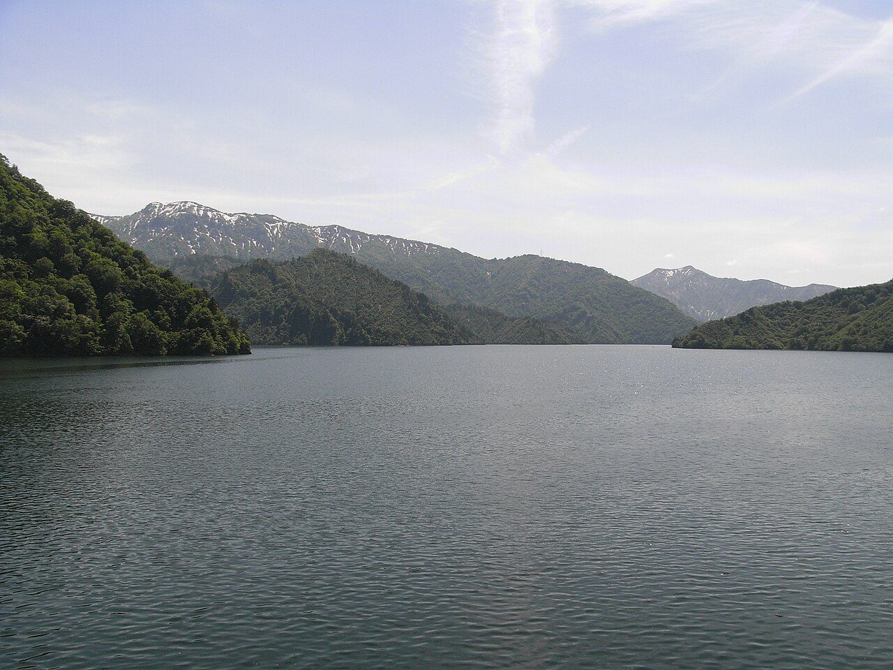
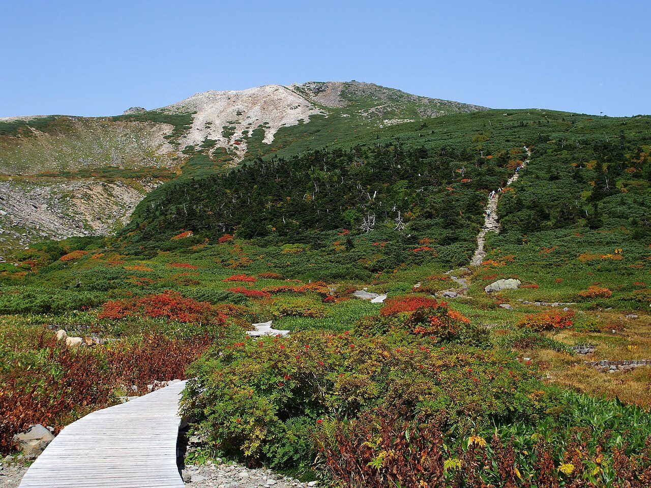

Frequently asked questions
Where is Rishiri-Rebun-Sarobetsu National Park?
Rishiri-Rebun-Sarobetsu National Park is in Japan (45.1939° N, 141.2580° E).
When was Rishiri-Rebun-Sarobetsu National Park established?
Rishiri-Rebun-Sarobetsu National Park was established in 1974, per the source listed at the foot of this page.
How big is Rishiri-Rebun-Sarobetsu National Park?
Rishiri-Rebun-Sarobetsu National Park covers 86,054 acres (34,825 ha).
What is the highest point in Rishiri-Rebun-Sarobetsu National Park?
The highest point is Mount Rishiri, at 1,721 metres (5,646 ft).
Sources
- https://www.wikidata.org/wiki/Q1206791 — Wikidata (CC0) — name, country, coordinates, area, established year, highest point where stated.
- https://en.wikipedia.org/wiki/Rishiri-Rebun-Sarobetsu_National_Park — Wikipedia article — description (CC BY-SA).