
Provincial Park · Canada
Rock Point Provincial Park
Rock Point Provincial Park is a provincial park in Canada, covering 462 acres (187 ha), established in 1957.
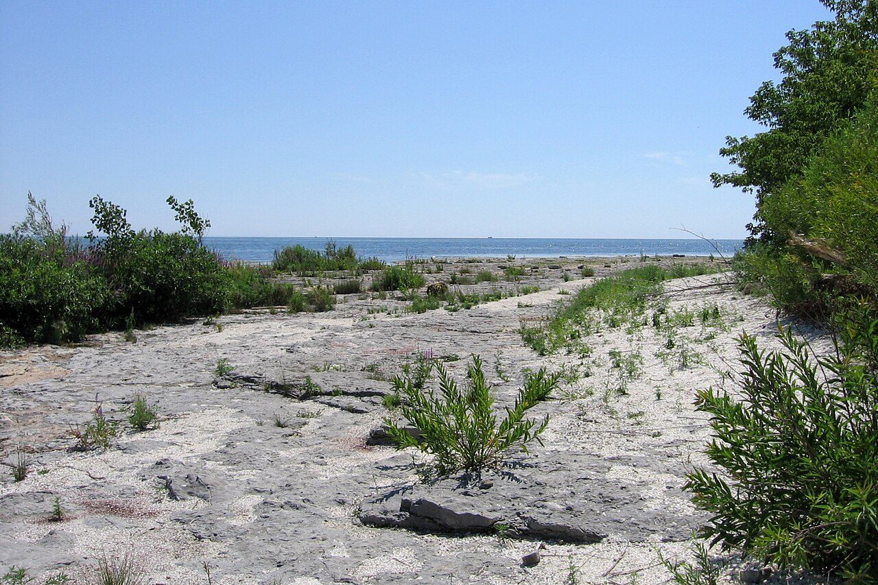
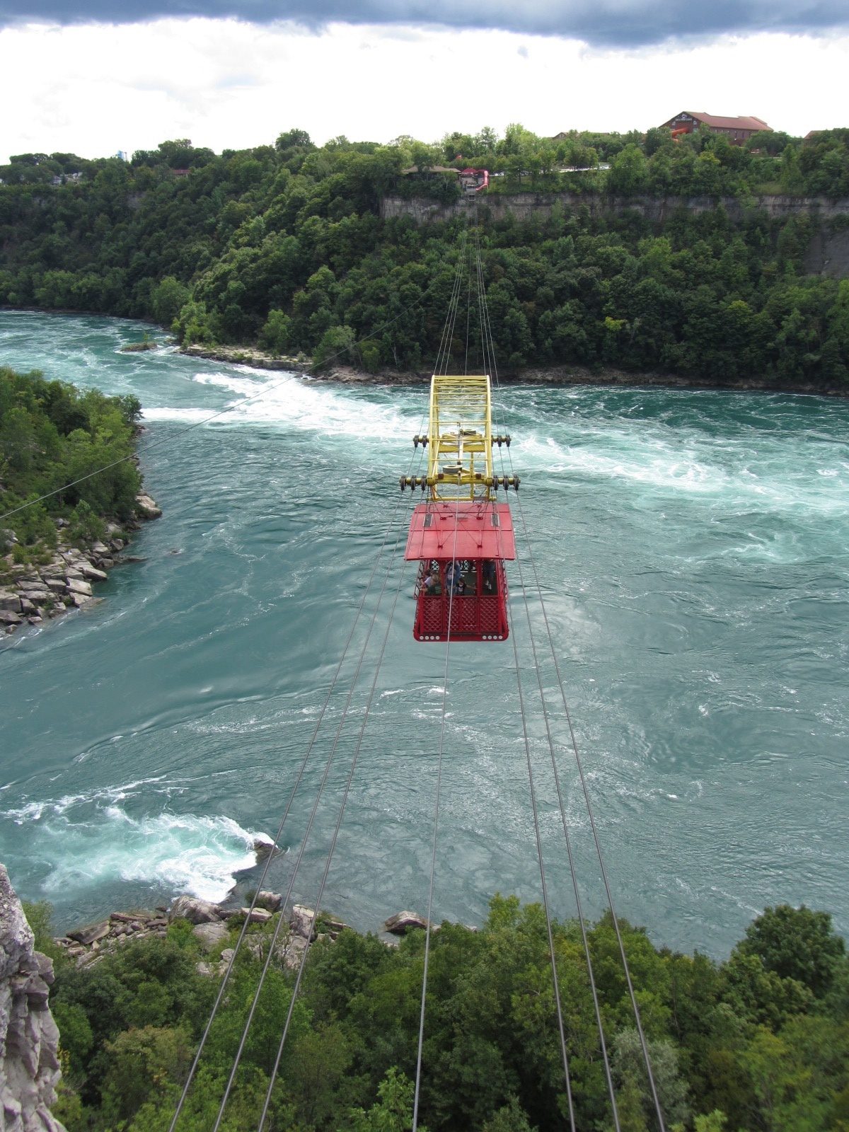
Photo: John Vetterli from Toronto, Canada via Wikimedia Commons, CC BY-SA 2.0. Cropped and resized for display.
Park facts
| Park type | Provincial Park |
|---|---|
| Location | Canada |
| Area | 462 acres (187 ha) |
| Established | 1957 |
| Coordinates | 42.8482° N, 79.5525° W |
Every fact above is taken from the sources listed below; anything no source states is left blank rather than guessed.
About Rock Point Provincial Park
Rock Point Provincial Park is a park located on the north shore of Lake Erie near the mouth of the Grand River in the Carolinian zone of southwestern Ontario. It occupies an area of 1.87 square kilometres (0.72 sq mi). Habitats within the park include wetlands, forests and dunes. Trees include the uncommon Big Shellbark Hickory. Limestone shelves along the lake shore contain the fossils of marine animals from the Devonian period. The fossil beds also contain deposits of chert, a stone similar to flint which was worked to produce stone points.
Description from the park's Wikipedia article (CC BY-SA), linked in the sources below.
Planning your visit
What to do
Like Rock Point Provincial Park? Visit Rock Point Provincial Park’s official park page for hours and current conditions before you travel.
Airports near this park
The airports a visitor would actually fly into, nearest first — each link opens its profile on our sister site AirportProfiles.
- John C. Munro Hamilton International Airport (YHM) · Hamilton, Canada · 29.3 miles away
- Buffalo Niagara International Airport (BUF) · Buffalo, United States · 42.0 miles away
- Toronto Pearson International Airport (YYZ) · Toronto, Canada · 57.3 miles away
Parks nearby
More parks in Canada









Frequently asked questions
Where is Rock Point Provincial Park?
Rock Point Provincial Park is in Canada (42.8482° N, 79.5525° W).
When was Rock Point Provincial Park established?
Rock Point Provincial Park was established in 1957, per the source listed at the foot of this page.
How big is Rock Point Provincial Park?
Rock Point Provincial Park covers 462 acres (187 ha).
Sources
- https://www.wikidata.org/wiki/Q7354632 — Wikidata (CC0) — name, country, coordinates, area, established year, highest point where stated.
- https://en.wikipedia.org/wiki/Rock_Point_Provincial_Park — Wikipedia article — description (CC BY-SA).