
Provincial Park · Canada
Rushing River Provincial Park
Rushing River Provincial Park is a provincial park in Canada, covering 840 acres (340 ha), established in 1958.
Provincial Park · Canada
No freely licensed photograph of this park is in our library yet — rather than borrow a picture of somewhere else, this profile leads with its verified facts.
Park facts
| Park type | Provincial Park |
|---|---|
| Location | Canada |
| Area | 840 acres (340 ha) |
| Established | 1958 |
| Coordinates | 49.6869° N, 94.2289° W |
Every fact above is taken from the sources listed below; anything no source states is left blank rather than guessed.
About Rushing River Provincial Park
Rushing River Provincial Park is 20 kilometres (12 mi) southeast of Kenora, Ontario, Canada. It is a family campground at the mouth of the Rushing River where it enters Dogtooth Lake. It is a gateway to Eagle-Dogtooth Provincial Park, that borders on its east side. The park has predominantly glacial features. The Park features swimming, boating, canoe, kayak and stand up paddle board rentals, as well as fishing, hiking, and camping including electrical and non electrical sites.
Description from the park's Wikipedia article (CC BY-SA), linked in the sources below.
Planning your visit
What to do
Like Rushing River Provincial Park? Visit Rushing River Provincial Park’s official park page for hours and current conditions before you travel.
Airports near this park
The airports a visitor would actually fly into, nearest first — each link opens its profile on our sister site AirportProfiles.
- Winnipeg / James Armstrong Richardson International Airport (YWG) · Winnipeg, Canada · 135.2 miles away
Parks nearby
Eagle-Dogtooth Provincial Park
Blue Lake Provincial Park
Garden Island State Recreation Area
Caliper Lake Provincial Park
Lake of the Woods Provincial Park
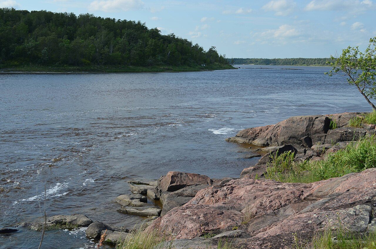
Whiteshell Provincial Park
More parks in Canada








Frequently asked questions
Where is Rushing River Provincial Park?
Rushing River Provincial Park is in Canada (49.6869° N, 94.2289° W).
When was Rushing River Provincial Park established?
Rushing River Provincial Park was established in 1958, per the source listed at the foot of this page.
How big is Rushing River Provincial Park?
Rushing River Provincial Park covers 840 acres (340 ha).
Sources
- https://www.wikidata.org/wiki/Q16866003 — Wikidata (CC0) — name, country, coordinates, area, established year, highest point where stated.
- https://en.wikipedia.org/wiki/Rushing_River_Provincial_Park — Wikipedia article — description (CC BY-SA).