
National Park · Uruguay
Santa Teresa National Park
Santa Teresa National Park is a national park in Uruguay, covering 2,595 acres (1,050 ha).
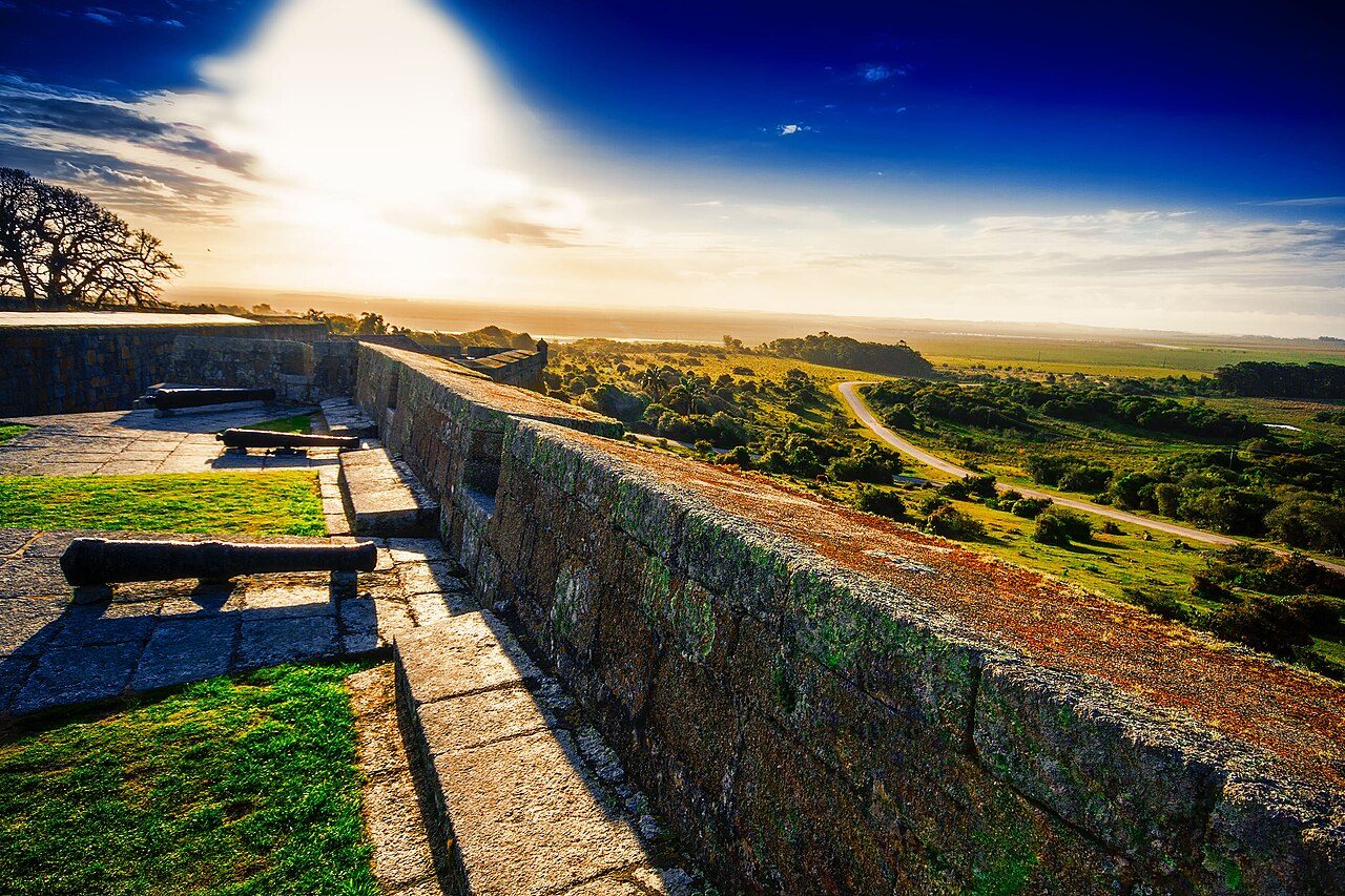
Photo: Marcelo Campi from MVD, Uruguay via Wikimedia Commons, CC BY-SA 2.0. Cropped and resized for display.

Park facts
| Park type | National Park |
|---|---|
| Location | Uruguay |
| Area | 2,595 acres (1,050 ha) |
| Coordinates | 33.9975° S, 53.5670° W |
Every fact above is taken from the sources listed below; anything no source states is left blank rather than guessed.
About Santa Teresa National Park
Santa Teresa National Park is a seaside forested area in Rocha Department which is an important national park of Uruguay. It is operated by the National Army of Uruguay. It is located in the Atlantic coast southeast of Route 9 at the northeast side of Laguna Negra and just north of Punta del Diablo. Within its limits are sandy beaches, a nature reserve hosting several species of animals, an extended camping area, a greenhouse with a wide variety of plants and the historic Fort of Santa Teresa. The area is supervised and maintained by the armed forces.
Description from the park's Wikipedia article (CC BY-SA), linked in the sources below.
Planning your visit
What to do
Airports near this park
The airports a visitor would actually fly into, nearest first — each link opens its profile on our sister site AirportProfiles.
- Capitan Corbeta CA Curbelo International Airport (PDP) · Punta del Este, Uruguay · 105.3 miles away
Parks nearby
San Miguel national park
Camaquã State Park
Lagoa do Peixe National Park
Esteros de Farrapos e Islas del Río Uruguay National Park
El Palmar National Park
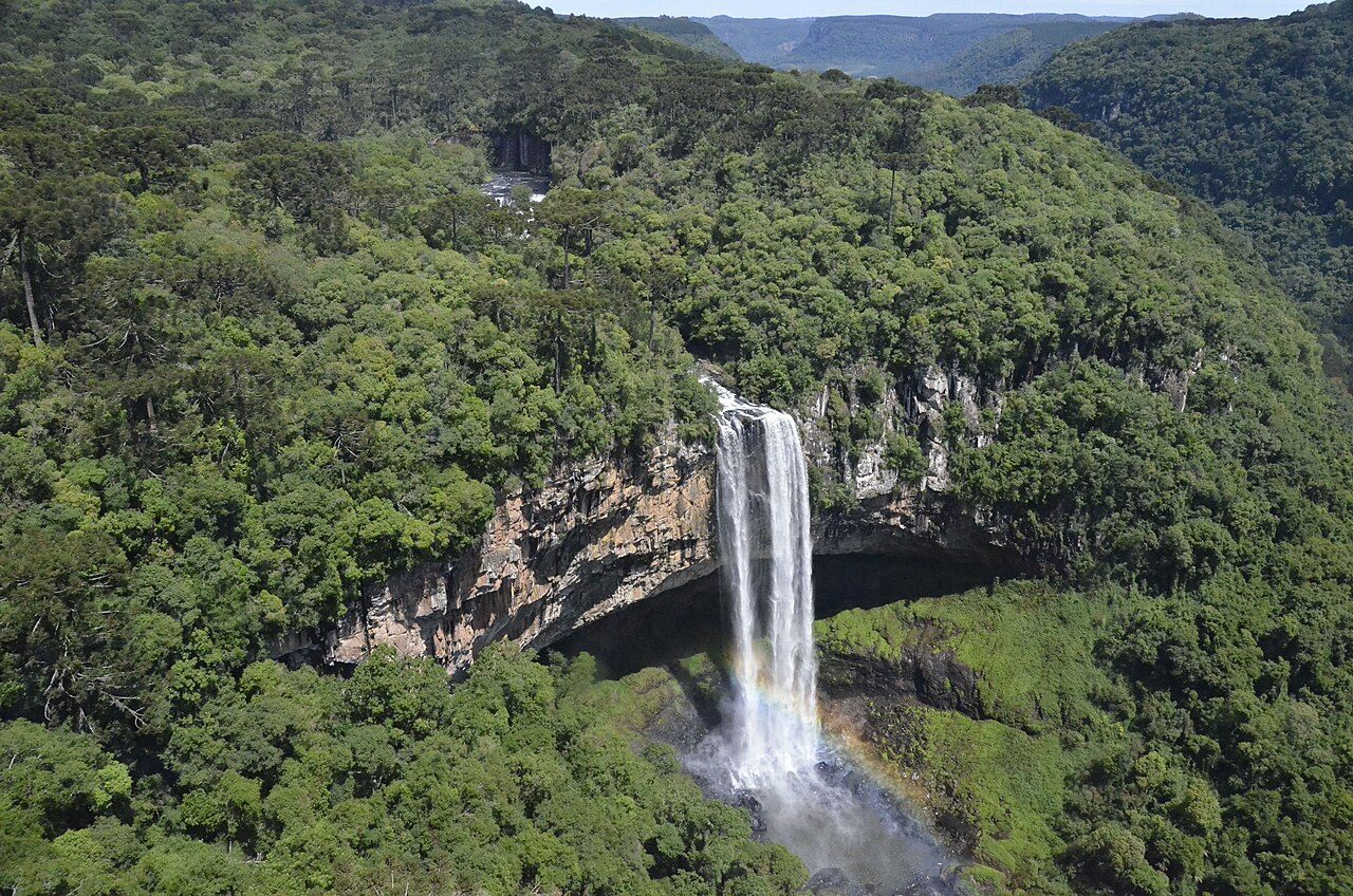
Caracol State Park
More parks in Uruguay
Frequently asked questions
Where is Santa Teresa National Park?
Santa Teresa National Park is in Uruguay (33.9975° S, 53.5670° W).
How big is Santa Teresa National Park?
Santa Teresa National Park covers 2,595 acres (1,050 ha).
Sources
- https://www.wikidata.org/wiki/Q2054006 — Wikidata (CC0) — name, country, coordinates, area, established year, highest point where stated.
- https://en.wikipedia.org/wiki/Santa_Teresa_National_Park — Wikipedia article — description (CC BY-SA).