
Provincial Park · Canada
Sleeping Giant Provincial Park
Sleeping Giant Provincial Park is a provincial park in Canada, established in 1944.
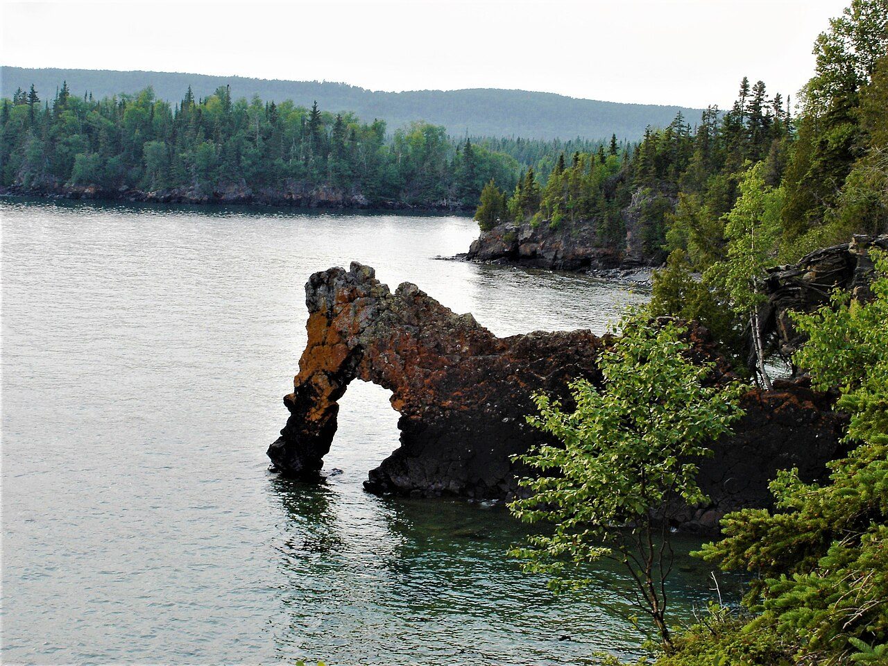
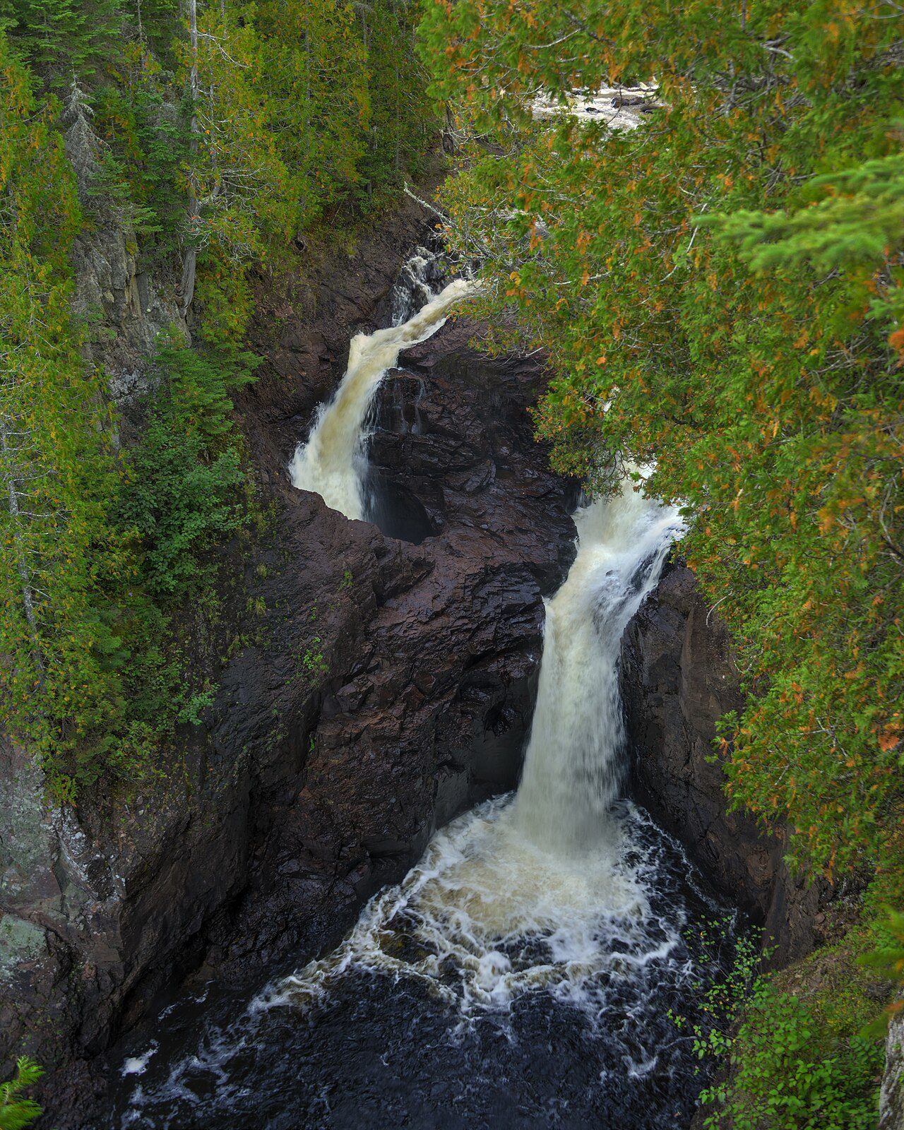
Photo: Mhsheikholeslami via Wikimedia Commons, CC BY-SA 4.0. Cropped and resized for display.
Park facts
| Park type | Provincial Park |
|---|---|
| Location | Canada |
| Established | 1944 |
| Coordinates | 48.3372° N, 88.9044° W |
Every fact above is taken from the sources listed below; anything no source states is left blank rather than guessed.
About Sleeping Giant Provincial Park
Sleeping Giant Provincial Park, established in 1944 as Sibley Provincial Park and renamed in 1988, is a 244-square-kilometre (94 sq mi) park located on the Sibley Peninsula in Northwestern Ontario, east of Thunder Bay. The nearest communities are Pass Lake, in the township of Sibley, located at the northern entrance to the park, and Dorion, located 35 kilometres (22 mi) northwest, in the township of Shuniah. The seasonal community of Silver Islet is located on the southern tip of the peninsula. The primary feature of the park is the Sleeping Giant, which is most visible from the city of Thunder Bay.
Description from the park's Wikipedia article (CC BY-SA), linked in the sources below.
Airports near this park
The airports a visitor would actually fly into, nearest first — each link opens its profile on our sister site AirportProfiles.
- Thunder Bay International Airport (YQT) · Thunder Bay, Canada · 19.4 miles away
- Houghton County Memorial Airport (CMX) · Hancock, United States · 83.0 miles away
Parks nearby
More parks in Canada









Frequently asked questions
Where is Sleeping Giant Provincial Park?
Sleeping Giant Provincial Park is in Canada (48.3372° N, 88.9044° W).
When was Sleeping Giant Provincial Park established?
Sleeping Giant Provincial Park was established in 1944, per the source listed at the foot of this page.
Sources
- https://www.wikidata.org/wiki/Q7539871 — Wikidata (CC0) — name, country, coordinates, area, established year, highest point where stated.
- https://en.wikipedia.org/wiki/Sleeping_Giant_Provincial_Park — Wikipedia article — description (CC BY-SA).