
Provincial Park · Canada
St. Raphael Provincial Park
St. Raphael Provincial Park is a provincial park in Canada, covering 223,682 acres (90,521 ha), established in 2003.
Provincial Park · Canada
No freely licensed photograph of this park is in our library yet — rather than borrow a picture of somewhere else, this profile leads with its verified facts.
Park facts
| Park type | Provincial Park |
|---|---|
| Location | Canada |
| Area | 223,682 acres (90,521 ha) |
| Established | 2003 |
| Coordinates | 50.7672° N, 90.9017° W |
Every fact above is taken from the sources listed below; anything no source states is left blank rather than guessed.
About St. Raphael Provincial Park
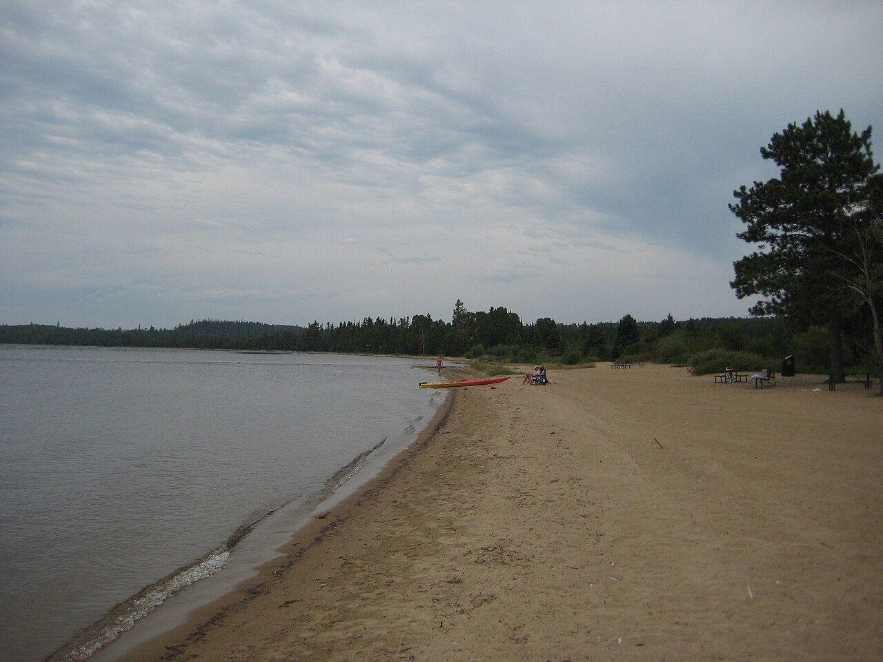
St. Raphael Provincial Park is a provincial park in northern Ontario, Canada, roughly halfway between Sioux Lookout and Pickle Lake, straddling the boundary of Kenora and Thunder Bay Districts. It was established on May 22, 2003, and provides backcountry canoeing and camping opportunities. It is a non-operating park, meaning that there are no facilities or services. Permitted activities include boating, canoeing, hiking, fishing, hunting, swimming, and backcountry camping, as well as dogsledding, snowmobiling, and snowshoeing in the winter. There is one commercial resort on De Lesseps Lake and a lodge on Hooker Lake.
Description from the park's Wikipedia article (CC BY-SA), linked in the sources below.
Planning your visit
What to do
Airports near this park
The airports a visitor would actually fly into, nearest first — each link opens its profile on our sister site AirportProfiles.
- Pickle Lake Airport (YPL) · Pickle Lake, Canada · 55.6 miles away
- Sioux Lookout Airport (YXL) · Sioux Lookout, Canada · 63.2 miles away
- Red Lake Airport (YRL) · Red Lake, Canada · 127.6 miles away
Parks nearby

More parks in Canada







Frequently asked questions
Where is St. Raphael Provincial Park?
St. Raphael Provincial Park is in Canada (50.7672° N, 90.9017° W).
When was St. Raphael Provincial Park established?
St. Raphael Provincial Park was established in 2003, per the source listed at the foot of this page.
How big is St. Raphael Provincial Park?
St. Raphael Provincial Park covers 223,682 acres (90,521 ha).
Sources
- https://www.wikidata.org/wiki/Q29107154 — Wikidata (CC0) — name, country, coordinates, area, established year, highest point where stated.
- https://en.wikipedia.org/wiki/St._Raphael_Provincial_Park — Wikipedia article — description (CC BY-SA).