
Provincial Park · Canada
Sturgeon River Provincial Park
Sturgeon River Provincial Park is a provincial park in Canada, covering 19,731 acres (7,985 ha), established in 1989.
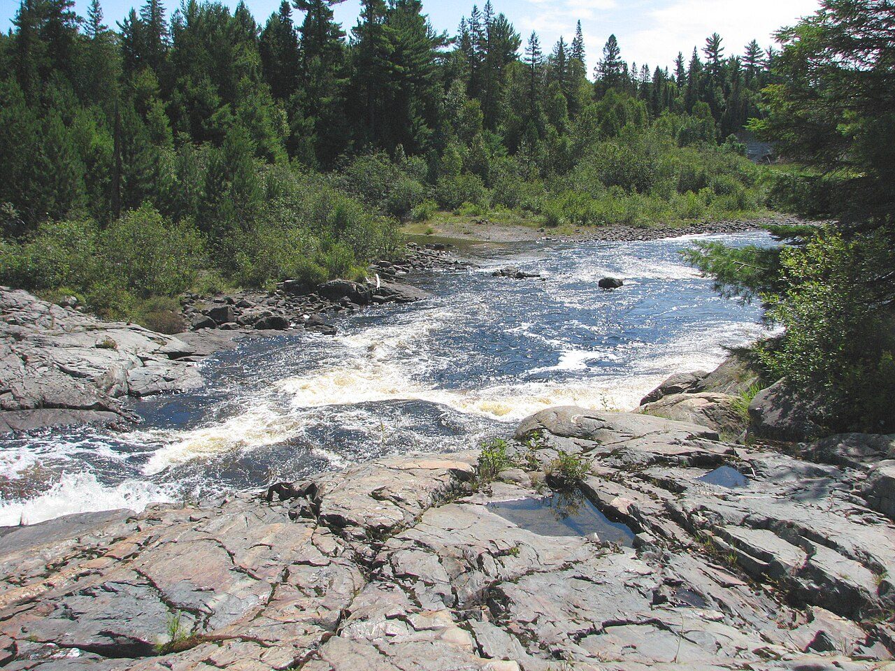
Photo: D. Gordon E. Robertson via Wikimedia Commons, CC BY-SA 3.0. Cropped and resized for display.
Park facts
| Park type | Provincial Park |
|---|---|
| Location | Canada |
| Area | 19,731 acres (7,985 ha) |
| Established | 1989 |
| Coordinates | 46.9703° N, 80.4628° W |
Every fact above is taken from the sources listed below; anything no source states is left blank rather than guessed.
About Sturgeon River Provincial Park
The Sturgeon River Provincial Park is a provincial park in northern Ontario, Canada, that protects about 70 kilometres (43 mi) long section of the Sturgeon River and its banks, from Woods Lake (at the boundary of Lady Evelyn-Smoothwater Park in Timiskaming District) to the Sudbury-Nipissing District boundary. It was established in 1989 and expanded in 2005. It protects outstanding water routes that provide recreational canoe camping opportunities. Other activities include hunting and fishing. It used to have an area of 33.5 square kilometres (12.9 sq mi) and the park ended south of the Obabika River and Lower Goose Falls.
Description from the park's Wikipedia article (CC BY-SA), linked in the sources below.
Planning your visit
What to do
Airports near this park
The airports a visitor would actually fly into, nearest first — each link opens its profile on our sister site AirportProfiles.
- Sudbury Airport (YSB) · Sudbury, Canada · 28.7 miles away
- North Bay Jack Garland Airport (YYB) · North Bay, Canada · 64.7 miles away
- Rouyn Noranda Airport (YUY) · Rouyn-Noranda, Canada · 114.2 miles away
Parks nearby
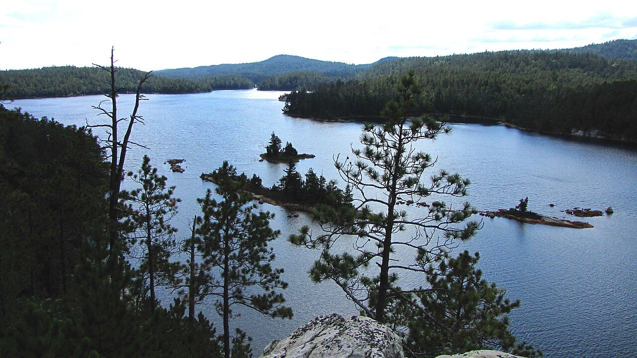
Chiniguchi River Waterway Provincial Park
Solace Provincial Park
Obabika River Provincial Park
Finlayson Point Provincial Park
Marten River Provincial Park
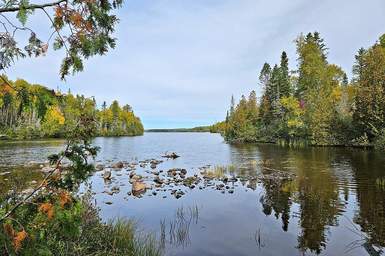
W.J.B. Greenwood Provincial Park
More parks in Canada









Frequently asked questions
Where is Sturgeon River Provincial Park?
Sturgeon River Provincial Park is in Canada (46.9703° N, 80.4628° W).
When was Sturgeon River Provincial Park established?
Sturgeon River Provincial Park was established in 1989, per the source listed at the foot of this page.
How big is Sturgeon River Provincial Park?
Sturgeon River Provincial Park covers 19,731 acres (7,985 ha).
Sources
- https://www.wikidata.org/wiki/Q7629038 — Wikidata (CC0) — name, country, coordinates, area, established year, highest point where stated.
- https://en.wikipedia.org/wiki/Sturgeon_River_Provincial_Park — Wikipedia article — description (CC BY-SA).